


![]()
You are here
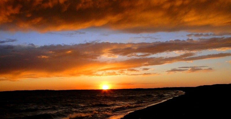
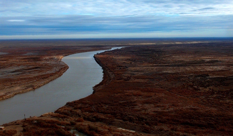
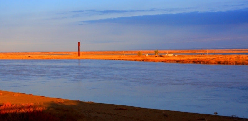
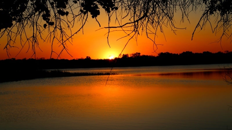
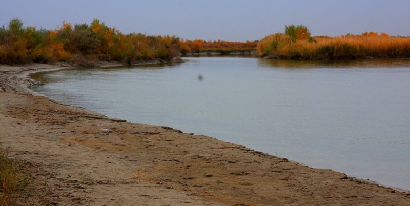
Syrdarya river in Kazakhstan.


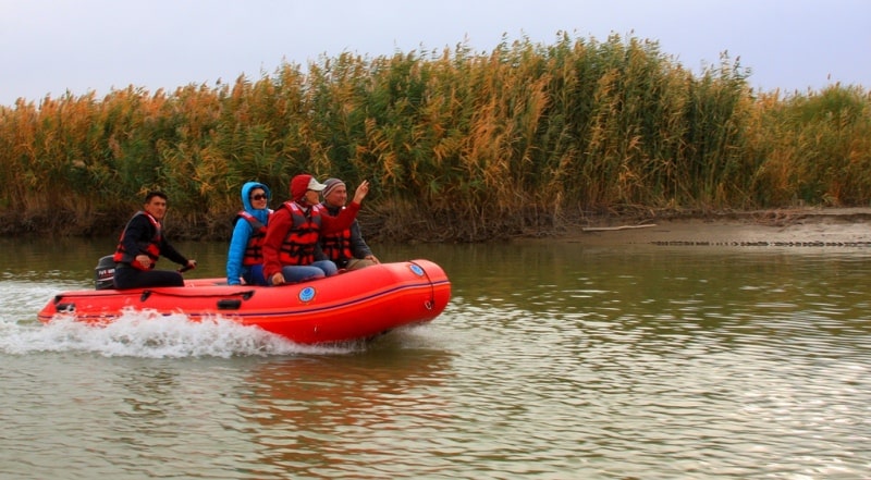
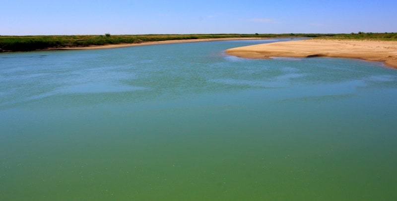
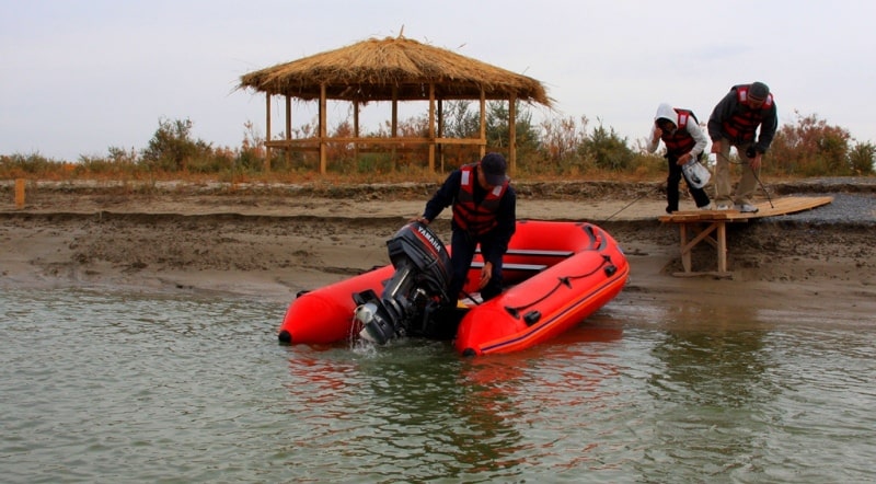
Water touring on Syrdarya river.
"The Syr Darya is one of the most eccentric and treacherous rivers; it is as fickle as the moon, without, however, possessing the regularity of that planet. Should even the slightest obstacle arise in its course, it immediately changes its course, as if brooking no interference in its affairs. In general, it is a wandering river, which thinks nothing of changing its course, carving a new channel, and wandering 10-15 miles to the side, no worse than any nomadic Kirghiz living on its banks. The Russians have never succeeded in mastering it; I do not even believe that they will ever be able to make a truly navigable river out of it. Of course, if the country through which it flows were densely populated, the means would be found to do so. But until this can be realized, most of its waters will be used to irrigate the scorching sands of Kizil-Kum, and this will be their most beneficial use."
McGahan's essay.
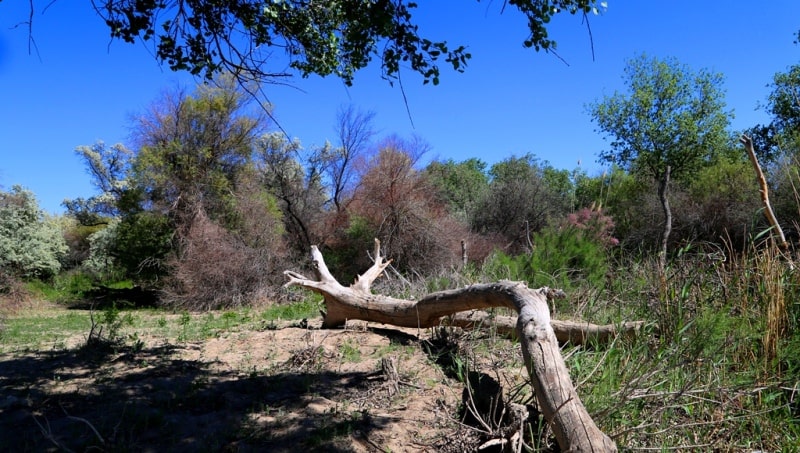
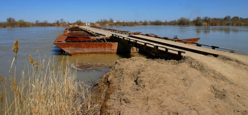
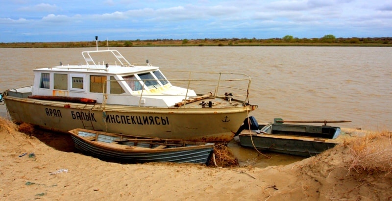
Photos of Syrdarya river.
Syrdarya River, 2,233 kilometers long, is formed by confluence of two rivers: Naryn and Kara Darya. It begins its flow through three regions of Uzbekistan - Fergana, Andijan, and Namangan - for 184 kilometers. Then, before flowing into Kairakum (Bahri Tojik) reservoir, it flows through Sughd region of Tajikistan for 106.5 kilometers.
After Tajikistan, Syrdarya reenters Uzbekistan and flows through two regions: Tashkent and Syrdarya, for 189 kilometers.
After Uzbekistan, Syrdarya, passing Shardarya Reservoir and stretching 48 kilometers, flows through Shardarya, Keles, Baidibek, Zhetysay, Otrar, and Tolebi districts of Turkestan region, as well as Zhanakorgan, Chiili, Syrdarya, Zhalagash, Karmakshy, Kazaly, and Aral districts, and through Kyzylorda city administration in Kyzylorda region, for a distance of 1,753 kilometers. It flows into Small Aral Sea in Kazakhstan.
Syrdariya starts outside of Kazakhstan in the mountains of Tien-Shan. In the middle stream and downstream (1400 km) it flows along the territory of the country. Syrdariya is the most turbid river in the republic (water turbidity is 1200g/mole3), that is why on its way it washes away friable rocks forming flood-lands with the width of 10 - 15 km.
During strong floods Syrdariya sometimes goes out of the banks and it floods the lower part of the river valley. In sand tracts Kyzylkum you can meet many old dry channels: Zhanadariya (300 km), Kuandariya (325 km). Due to the maximum use of the river water for the needs of the national economy from 1974 the river does not bring its waters to the Aral Sea: it crosses Kyzylkum, Aryskum and Aral Karakumy and it is lost in sands.
Only one tributary flows into Syrdariya on the territory of Kazakhstan – Arys River. To the east from the Aral Sea there are several small lakes. A lot of small rivers and springs flow into them. The most significant of them are Chu, Sarysu, Turgai and Irgiz.
The Syr Darya flows across Kazakhstan territory for about two-thirds of its 3,000- kilometre course. flowing through Uzbekistan, Tajikistan, and Kazakhstan. One of the principal rivers of central Asia, it is formed in the Fergana Valley, Uzbekistan, by the junction of the Naryn and Kara Darya rivers, which rise in the Tiеn-Shan mts.
It flows W through Tajikistan, then NW through Uzbekistan and Kazakhstan, past Kyzylorda, and into the northern basin of the Aral Sea. Its shallowness makes it unfit for navigation. Its waters are used for irrigating the important cotton-growing areas along its course and for hydroelectric power, but the river has become increasingly polluted, especially reaches Kazakhstan.
The Syr-Darya forms the northern and eastern limits of the Kyzyl Kum desert. It is paralleled in its lower course by the Trans-Caspian RR. Alexander the Great in his conquest of Persiareached the river c.329 BC and may have founded the chief city on its course – Khudjand - on the site of an older city.
Battles have been fought, advanced cultures developed and agriculture manufacturing and trade practised along its banks. In ancient times the river was named the Kang, and during the early Middle Ages the Seykhun; many generations of farmers built and maintained sophisticated small-scale irrigation systems using the great river's life-giving water.
Reservoirs and canals were constructed with such ingenuity that a large part of the water taken from the river flowed back into it. Evaporation was kept to a minimum, and the entire village community carried out construction and maintenance of the water works which were crucial for survival.
Soviet technocrats put an end to this era; the river was bled to death senselessly and ineffectively for the monocultures of cotton and rice. But despite the fact that the river's power is only a shadow of what it used to be, it still plays an important role in the region, with hundreds of towns and auls on its banks still surviving because of it.
Initiatives to undertake cross-border water management are under way in Kazakhstan, Kyrgyzstan, Tajikistan and Uzbekistan. With luck - and commendable foresight - these initiatives, once put into practice, will have an impact on the region's future that should not be underestimated.
Nothing less than peace in the region is at stake here; water is life in the semi-desert and steppe areas of southern Kazakhstan, and where rivers' courses cross international borders, how they are exploited has direct consequences on the environment and human habitation further downstream.
Geographic coordinates of Syrdarya River in Republic of Kazakhstan are: N44°21'08 E66°15'22
Geographic coordinates of beginning of Syrdarya River in Republic of Kazakhstan are: N41°01'12 E68°31'37
Beginning of Syrdarya River's formation in Andijan Region of Republic of Uzbekistan (part of Tashkent and Syrdarya Regions): N40°54'01 E71°45'25
Geographic coordinates of Syrdarya River in Tajikistan (Sughd Region): N40°17'56 E69°42'49
Geographic coordinates of Syrdarya River in Uzbekistan (part of Fergana, Andijan, and Namangan Regions): N40°40'11 E68°59'05
Authority:
http://dic.academic.ru
Photos by:
Alexander Petrov.