


![]()
You are here
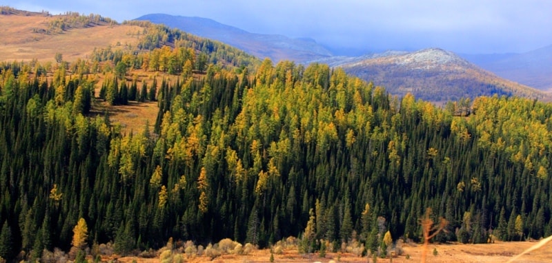
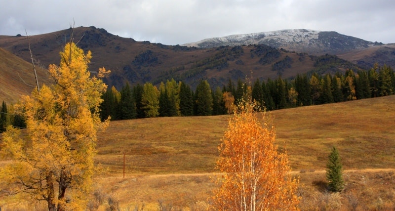
Vysheivanovsky Belok on Altai.


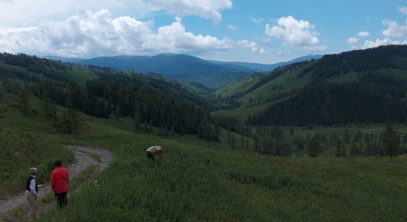
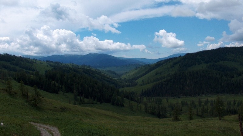
Walk in Kazakhstan mountains.
“Everything sank in the snowy whiteness.
The trees stand quietly and severely.
So quiet all around, that scared me
Breathe awkwardly il utter the word"
K. Kuliev.
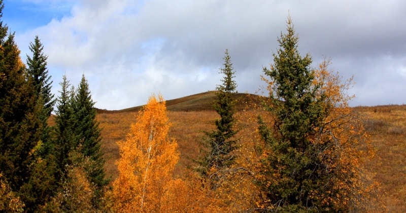
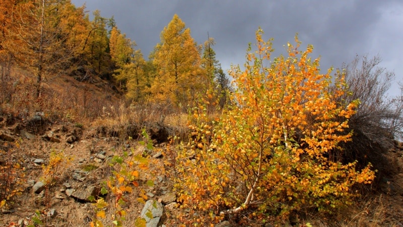
Climbing on Kazakhstan Altai.
The Vysheivanovsky Belok is closely related to the Zabelkov lakes, which are located near the Voroshilov peak. This is another name for Vysheivanovsky Belok. The highest point in these mountains is 2877 meters above sea level.
In Soviet times, Voroshilov’s bronze bust stood on top with a cabinet in which tourists hid notes. Pioneers received on the top badges "Young Tourist". With the onset of Perestroika, the bust was thrown into the abyss, but the habit of climbing the highest mountain of the South-West Altai remained.
There are many lakes around Voroshilov peak, and each is unique. There is a fish lake, and the grayling is caught there, and there is a banana because it is similar in shape to a banana. Bears roam the snowfields here. Waterfalls sparkle in the crevices. Fires burn with fire.
In the grass between the stones, you can unintentionally step on the nest with chicks, so it is recommended to walk very carefully. At Podbelkovom lake, residents of Ridder have mastered extreme rest. On hot days, they bathe in the cold waters of this dead lake.
From an abandoned mine, in which some kind of work was once done, a radon key flows into it. Perhaps for this reason there is no fish in the lake. On the right bank of the Gromotukha River there is Mount Krestovaya 2,000 meters above sea level. T
o the east of this summit are the darkening sharp peaks of the brother's rocks Tir 2397 meters above sea level. Further east, the peaked rocky Vysheivanovsky Peak goes into the sky - this is the highest mountain in the Western Altai - 2877 meters above sea level. South of Vysheivanovsky is Ulbinsky ridges.
Moving closer to the east, the two ridges form the Black Uzel 2600 meters above sea level - an impregnable group of peaks with steep cliffs, at the base of which there are several lakes called Turgusun. One of the highest ranges of Rudny Altai is the Kholzun range.
The highest point of it - Lineisky squirrel 2647 meters above sea level. This mighty ridge is covered with extensive stony placers, surmounted by rocky peaks. Impassable taiga, eternal snows and small alpine lakes underline its beauty and severity, some kind of, if I may say so, detachment.
Original Lineiskiy range, which is a natural divide between the Black and White Slaughter. At the western end of the ridge there is a unique geo-architectural complex of granite sculptures called Stone Fairy Tale, surprising by unusual outliers resembling recognizable and fantastic animals and people. Glaciers feed mountain rivers.
Their shores are steep, there are many rifts and rapids. The run from the mountain peaks from a height of one and a half to two thousand meters makes the force of the water immense: the rivers after the rains roll large multipass stones along the bottom.
You wonder when you see water literally "moving mountains." And what power she must have to create such a thing! Day after day it breaks through rocky ledges.

Authority:
"Altai Kazakhstan", compiled by A.L. Kobozev, Alma-Ata, "Kaynar", 1986.
Photos
Alexander Petrov.