You are here
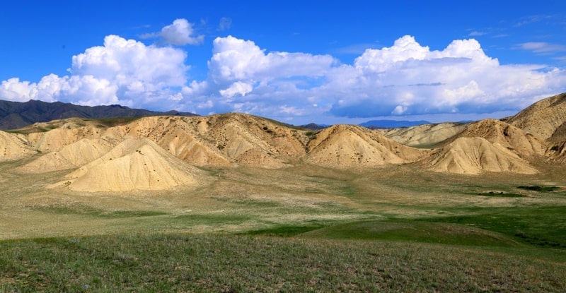
Zhabyrtau mountains.
Kazakhstan - Central Asia Tours.
“Deserted mountain.
There is not a soul
The day is in a hurry to send guests home.
If I gallop to the top
Below I will see a house alone in the wilderness"
Mukagali Makatayev. “The year that gave the verse. Novella".
Unique travels across Almaty region.
The small mountain range Zhabyrtau is located at the western end of the Karatau mountain range, which adjoins from the south to the dominant Ketmen ridge, south of the Tuzkol lake depression, southeast of the Elshyn-Buyryk mountains, east of the Aibyrzhal mountains, southeast of the mountains Aygyrzhol, 14 kilometers north-west of the Tekes village in the Narynkol district of the Almaty region.
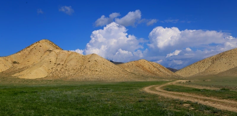
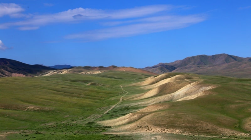
The clayey hills of the Zhabyrtau mountains stretch from the southwest to the northeast and are 10 kilometers, the largest width in the central part of the ridge is about 4 kilometers. The highest unnamed point of the mountain range, which is located in the eastern part of 2292.4 meters above sea level.
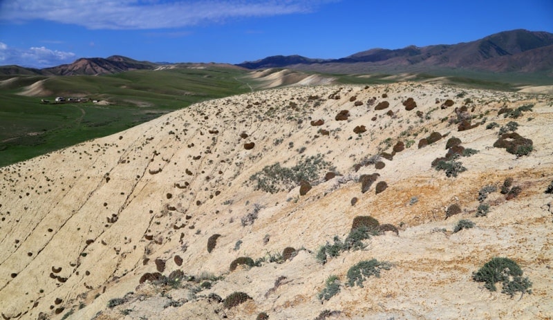
The mountains are cut by dry stream beds, which are filled with water depending on precipitation, spring and autumn floods. The vegetation on the uplands is represented by xerophytes, and there is a salt marsh barnyard, or biyurgun (Anabasis salsa).
Most of the soil is represented by light clays interspersed with slightly brownish shades, which, in combination with low overhanging clouds, makes the mountains very picturesque.
Geographic coordinates of the Zhabyrtau mountains: N42 ° 56'50.60 "E79 ° 59'20.18"

Authority and photos by
Alexander Petrov.


