


![]()
You are here
Zulumart Range

Ecological tours to Pamir mountains.
“Everyone would like to be served at home at the hotel, and at home like at the hotel”
Nature in Zulumart Mountains.
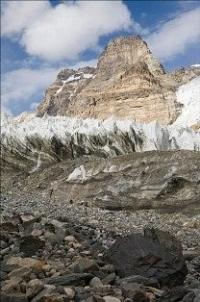
The Zulumart Range - one of the main Pamir watershed ridges located in the Murghab region of the Gorno-Badakhshan Autonomous Region of Tajikistan. The Zulumart ridge occupies the eastern part of the Pamirs, adjacent in the north to the Zaalaysky ridge.
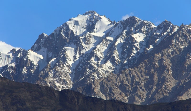
The ridge stretches in the meridional direction for 150 kilometers. Most of its peaks exceed 5,000 meters above sea level, five peaks in the northern part - above 6,000 meters above sea level. Two spurs extend in the northeast: the Kommunarov ridge, with a length of about 22 kilometers and a height of up to 5801 meters above sea level and Karachim, up to 5765 meters above sea level.
To the north of Frunze peak, the Beleuli ridge, about 55 kilometers long and up to 5819 meters above sea level, branches out into the Saukdara ridge, about 30 kilometers long and up to 6300 meters above sea level, and the Kaindy ridge, about 45 kilometers long and up to 5400 meters above sea level.
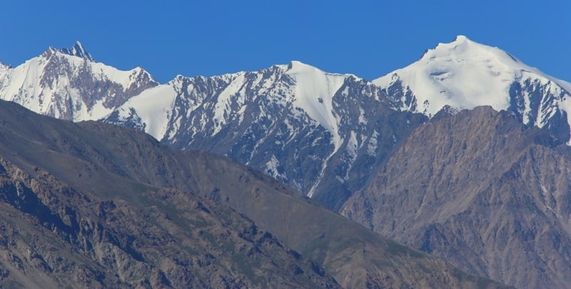
Further south, Zulumart is adjacent to the Northern Tanymas ridge. The total area of glaciation is 460 square kilometers. In the lower part of the slopes, landscapes of the cold high mountain desert prevail, the upper part is in the belt of nival landscapes.
The height of the snow line on the slope of the eastern exposure is 4950 - 5200 meters above sea level, on the slopes of the western exposure and western spurs - 4800 - 5400 meters above sea level. The bottoms of adjacent valleys in the north lie at an altitude of 4100 - 4500 meters above sea level, in the south - at an altitude of 3200 meters above sea level.
The division of the terrain from 1500 to 2300 meters. The lower part of the slopes is located in the belt of the cold alpine desert, the upper - in the belt of nival landscapes. The height of the snow line on the slope of the Eastern exposure is 4950 - 5200 meters above sea level, on the slopes of the western exposure and western spurs 4800 - 5400 meters above sea level.
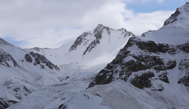
About 30 passes at an altitude of 5000 - 5900 meters above sea level and 4 passes - 4800 - 5000 meters above sea level are known. The easiest crossing paths in the middle part of the Zulumart ridge are the Kokuybel, Zulumart, Dvoiny passes, in the northern part of the trade unions passes, 10 years of LKT, Nikitina).
In the southern part, the Karakul-Posor highway passes through the Dilutek pass. The main approaches: from the east. from Vostochnaya - the Pamir Highway along the valleys of the Karadzhilga, Baigashka, Kokuybel rivers; Saukdara, Balandkiik, Tanymas.
Geographic coordinates of the Zulumart ridge: N39 ° 06'31.52 "E72 ° 51'26.25"
Authority:
"Glaciers." L.D. Dolgushin, G.B. Osipova. Series "Nature of the world." Moscow, the publishing house "Thought". 1989.
Photos
Alexander Petrov.