You are here
Adventures on Mangistau. 4 Days.
Best tours in Mangistau.
"I know there is an unknown
Latitude from latitudes,
Where is our wonderful friendship
It will definitely bring down.
And then we will know what is bold
Everyone took on a big task
And the places we've been
People in the maps of the world noted."
"The globe". 1947 The poet M. Lvovsky wrote his poems on the already existing composition of Mikhail Svetlov.
Short description of route of tour to natural sights of Mangistau:
Distance of tour: 749 km.
Season: from April 1 to October 30.
Duration of tour: 4 days, 3 nights.
Best time tour: April-June - September
Distance active part of tour: 3 km.
No. in party: from 1 to 10 people.
Advanced reservation: for 48 hours.
Detailed tour program day by day to Tuzabir saline land and Boszhira valley:
Adventure tours on Mangyshlak.
Day 1. Aktau - yurt camp "Kogez" (248 km).
Transfer: Aktau - Akshukyr village - Taushyk village - Kapamsay canyon (130 km). Our path from Aktau lies to the north, at the 47th kilometer we turn to the northeast and move towards the village of Taushyk.
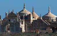
Along the way, there are several ancient necropolises, which are located next to the road, this is one of the large necropolises - Koshkar ata, located in the village of Akshukyr. The following necropolises that you can visit: Kalipan, Zhalzhan, Dongal.
Having passed the small village of Taushyk, we head to the west. At 4 kilometers from the village is the underground mosque of Uytoly and the necropolis of the same name. We pass the Karatau mountains and soon we leave the grader road and turn to the northeast to the Kapamsay canyon.
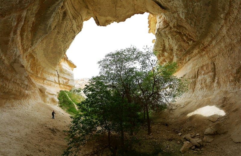
On the way to the entrance to the canyon, we visit panoramic platforms in the upper part of the canyon. Visit to the eastern, side gorge "Grove" in the Kapamsay canyon.
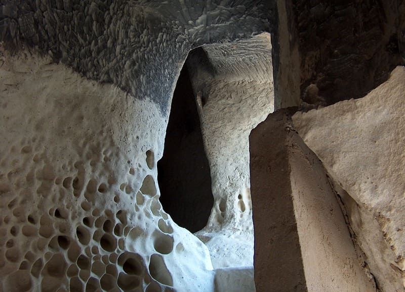
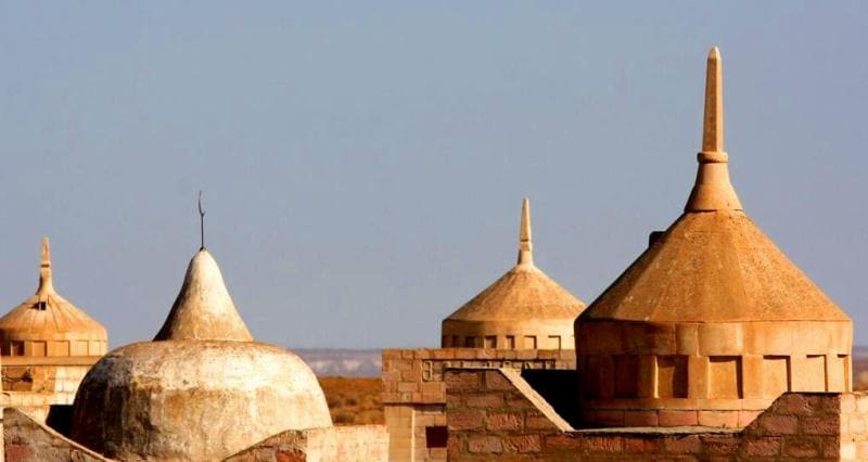
Transfer: Kapamsay canyon - mosque and mausoleum of Yerzhan Khazret - underground mosque Shakpak ata (8 km). The underground mosque Shakpak ata was carved into the chalk rocks, outside and on the walls of the mosque there are drawings and inscriptions (X - XIII centuries). Visit to the underground mosque and the necropolis of the same name, walk in the surroundings.
Transfer: Shakpak ata underground mosque - Shakpak ata sai canyon (6 km). Walk around the canyon.
Transfer: Shakpak ata sai canyon - Taushyk village - Karataushyk mountains - Alas valley - Akmaya mountain (40 km). Hiking at Mount Aamaya.
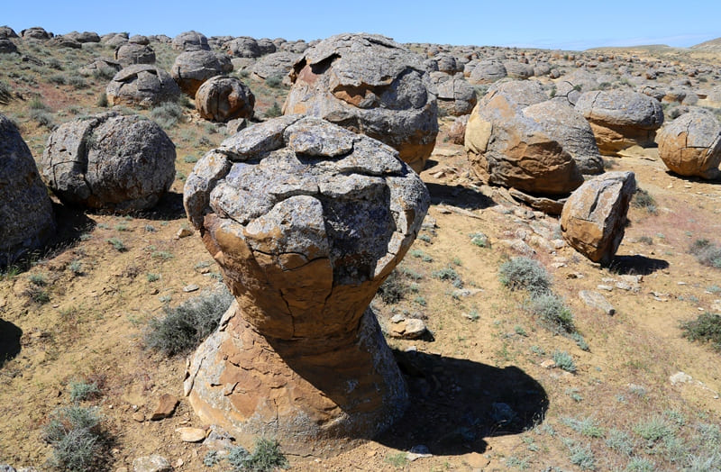
Transfer: Akmaya mountain - Ulken Karasai valley - valley of spherical nodules Torysh (9 km). Walk among the stone balls, visit the mineral pillars of Torysh.
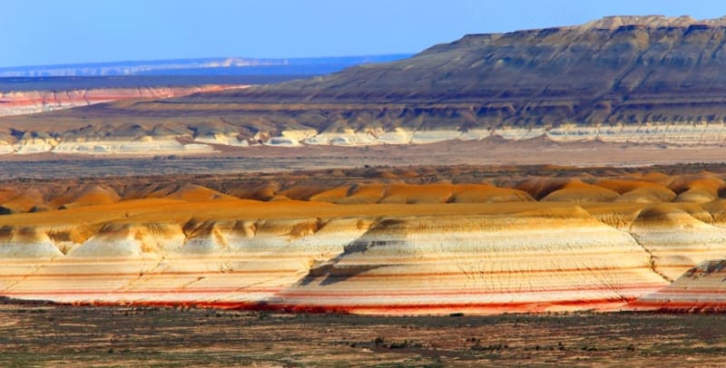
Transfer: stone balls Torysh - valley Torysh - settlement Shetpe - valley Kokkala (31 km). Walk among the multi-colored clays of the Kokkala valley.
Transfer: Kokkala valley - Akmysh valley - Mount Sherkala (14 km). Visiting two picturesque, panoramic sites from which Mount Sherkala is clearly visible, a walk in the surroundings.
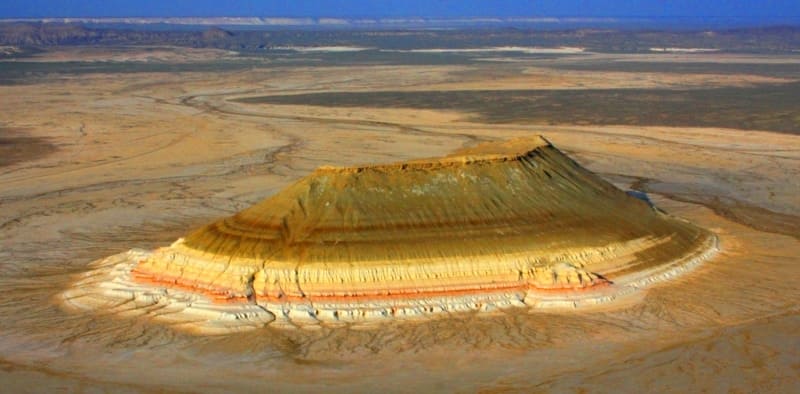
Transfer: Mount Sherkala - Kurturmas tract - rocky-chalk massif "Valley of Airakty Castles" (5 km). Walk in the lower part of the chinks of the Airakty mountain range.
Transfer: "Valley of Airakty castles" - yurt camp "Kogez" (5 km). Accommodation in yurts, overnight.
Day 2. Yurt camp "Kogez" – saline land Tuzbair (154 km).
Breakfast. From the village of Shetpe, a new road begins to the village of Beineu, the construction of which was completed in 2016.
Transfer: yurt camp "Kogez" - Shetpe village - Zharmysh village - Western cliff of Ustyurt - Manata pass (104 km).
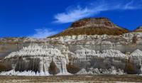
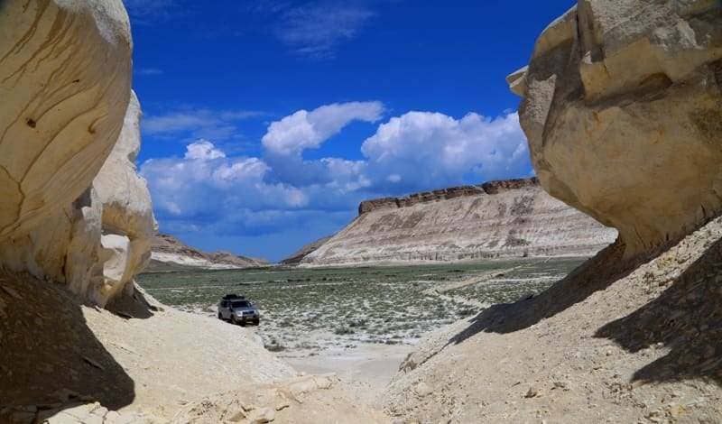
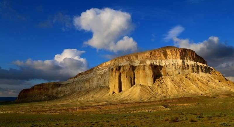
We pass the Manata pass and turn to the southeast and move along the edge of the plateau along the Western cliffs of the Ustyurt. From here you can see a large number of picturesque panoramas on the Tuzbair saline land. A visit to the panoramic platform, which offers a magnificent and magnificent view of the chalk remnants of the Sphinx.
Transfer: Manata pass - Kerty valley (descent from the chink to the saline land) (29 km). Our path lies along the edge of the Western cliffs of the Ustyurt plateau. Stops at beautiful and interesting panoramic sites with a view of the Tuzbair saline land. Descent from the Ustyurt plateau to the Tuzbair saline land.
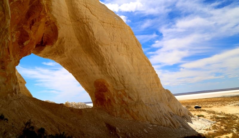
Transfer: Kerty valley - Tuzbair Arch (21 km). Our path lies along the northern edge of the Tuzbair saline land, from here picturesque views of the northern slopes of the Western cliffs of Ustyurt open up. Walks in the vicinity of the Arch of Tuzbair.
Transfer: Arch of Tuzbair - salt lake Tortkol (21 km). Transfer to the western part of the Tuzbair saline land. Walks in the vicinity. Overnight in tents near an artesian salt well.
Day 3. Salt lake Tortkol - mountain chalk cone Shoky tau (182 km).
Breakfast. Transfer: salt lake Tortkol - Mazar Kostam (77 km). Visit to the mazar.
Transfer: mazar Kostam - necropolis and underground mosque Shopan ata (3 km). Visit to the necropolis and underground mosque.
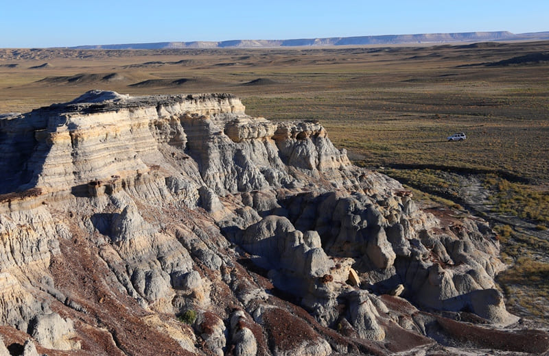
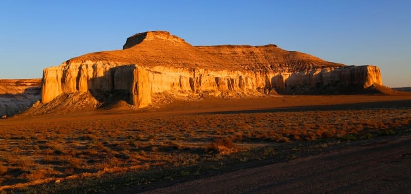
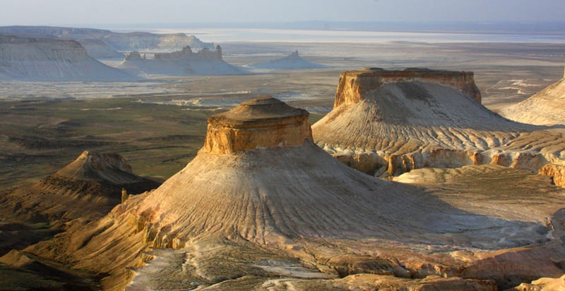
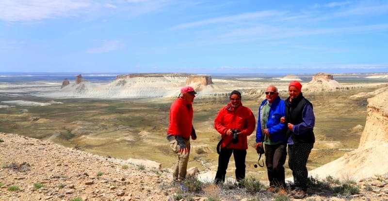
Transfer: Shopan ata necropolis - upper panoramas of Bozzhyra valley (72 km). Visiting graceful panoramic points from the Ustyurt plateau, from where views of the Bozzhyra valley open. We will visit 4 panoramic points.
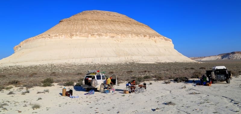
Transfer: Ustyurt plateau - Zhosaly descent - Ortasha Bozzhyra plateau - mountain chalk cone Shoky tau (30 km). Walks around the mountains. Overnight in tents.
Day 4. Ortasha Plateau - Aktau (265 km).
Breakfast. Transfer: Ortasha plateau Bozzhyra - Mount Bokty (26 km). Walks in the vicinity of Mount Bokty.
Transfer: mountain Bokty - valley Kyzylkup (Terammisu) (20 km). Walks in the vicinity of the Kyzylkup valley.
Transfer: Kyzylkup valley - Zhanaozen tosn - Karagie depression - Aktau (219 km).
Note:
Author program of Alexander Petrov. Copying and introduction from the sanction of the author.
Photos by
Alexander Petrov


