You are here
Sook Pass.
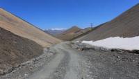
Passes in Jetym-Bel and Sook Ranges.
"In the Suyok Gorge {Suyok in the Karakirghiz dialect, suok in the Kyrgyz-Cossack language means cold.}, crossing the Bolgar Range and dividing it into two parts: the eastern - Urtasy and the western - Sary-tur, two streams flow, both Suyok-su, one to the north, the other to the south, but both flow into the same river {Southern Suyok not directly: it flows into Ak-kurgan-su, and that into Taragai.} under different names, just indicated, skirting the Urtasy Range."
"Travel through the Turkestan Region and Exploration of the Mountainous Country of Tien Shan." N. A. Severtsov. 1873.
Passes on road from Arabel Valley to Lake Issyk-Kul.
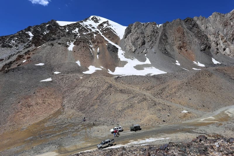
High-mountain pass Sook (translated from Kyrgyz as bone), is located at an altitude of 4028 meters above sea level, is located in main ridge and middle part of Sook range in Jety-Oguz district of Issyk-Kul region. From the village of Barskoon, the road passes two passes that lie on the way to the Sook pass.
The first pass is Sary-Moinok, which is located in the valley spur of the Barskoon gorge at an altitude of 3442 meters above sea level, the distance from the village is 37 kilometers. The next pass is Barskoon at an altitude of 3754 meters above sea level, from the Sary-Moinok pass it is 9 kilometers away.
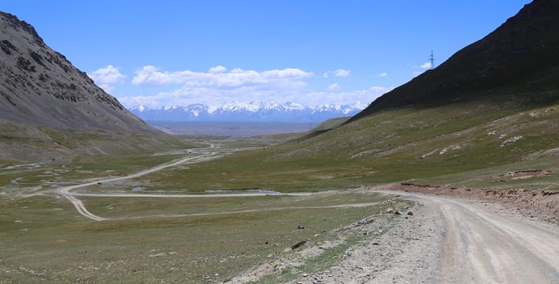
From the Barskoon pass to the Sook pass 16 kilometers. The pass is located between the Arabel-Su and Taragay rivers. Between the Sook ridge on the northern side there is the high-mountain Arabel valley with numerous lakes, on the southern side there are high-mountain syrts of the Naryn valley.
At 6.2 kilometers from the Sook pass there is the high-mountain lake Ekurgen-Kel at an altitude of 3628.5 meters above sea level. At 11.8 kilometers to the east and a little to the north there is the Jetym-Bel pass at an altitude of 3993 meters above sea level.
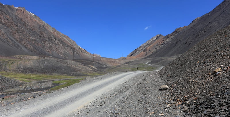
A highway passes through the Sook pass connecting the southern coast of Lake Issyk-Kul with the Karasay border outpost, the sources of the Naryn River, the remote and high-mountain village of Uch-Koshon located at an altitude of 3134 meters above sea level, the Ashusu pass at an altitude of 3840 meters above sea level, through which the road continues to the valleys of the Uzengegush and Aksai rivers in the Naryn region.
A high-voltage power line passes through the pass, the road is open all year round.
Geographical coordinates of Sook Pass: N41°46'51 E77°45'37
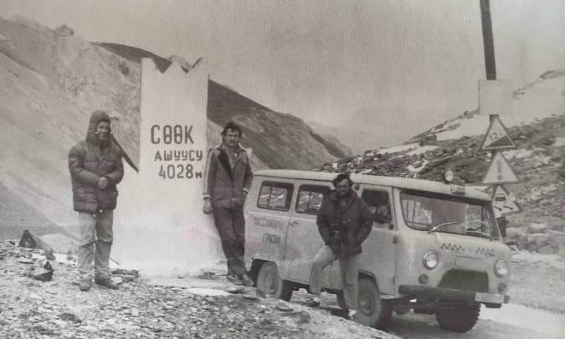
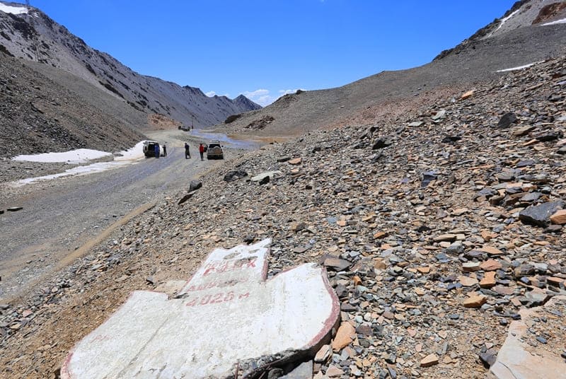
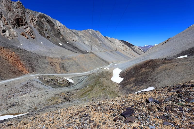
Authority and photos by:
Alexander Petrov.


