


![]()
You are here
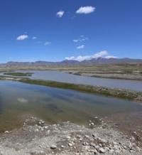
Arabel-Su river.
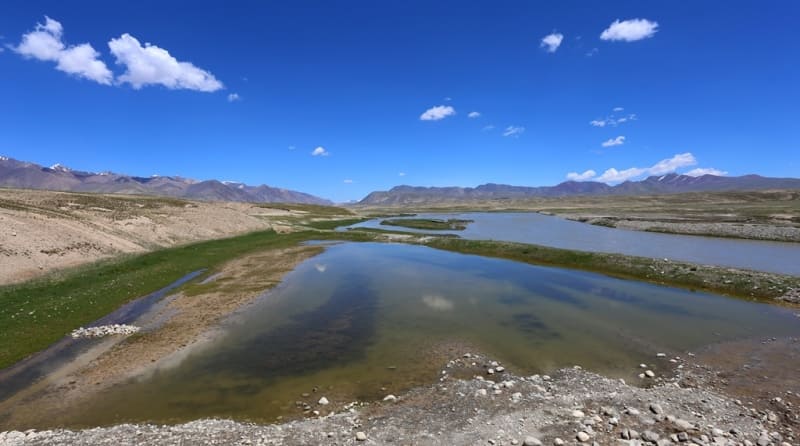
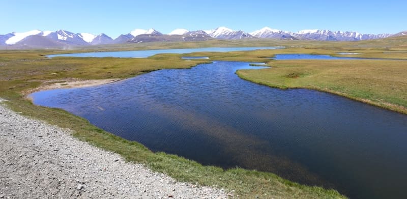
Rivers in Tien-Shan mountains.
"The path runs along a high plateau along the left bank of the Arabel River, a tributary of the Kumtera, from the north the snowy peaks of the Terektey-tau ridge jutted out above the plateau, but they jutted out little, since the plateau itself lies at an absolute height of more than 3,500 meters, and represents a high step above the Issyk-Kul valley, where the northern slopes of the ridge fall."
V.V. Sapozhnikov. "Research in Naryn River Valley." 1913.
Rivers of Arabel valley in Tien-Shan mountains.
Arabel-Su River originates from southern slopes of Terskey Ala-Too ridge and high-mountain syrts located in western part of Arabel valley, from north-eastern slopes of eponymous pass at an altitude of 3839.7 meters above sea level, located in Jety-Oguz district of Issyk-Kul region.
In turn, the Arabel valley is located between the southern slopes of the Terskey Ala-Too ridge and the northern slopes of the Sook and Jetim-Bel ridges on syrt formations. The Arabel-Su river basin consists of three main tributaries - Koturtor, Ittysh and Kichi-Maytor.
The sources of the river start from the south-east side of the Barskoon pass located at an altitude of 3754 meters above sea level. Just below the pass is Lake Barskoon at an altitude of 3750 meters above sea level. The river passes Lake Barskoon and after 1.8 kilometers flows into Lake Dzhashyl-Kel West, located at an altitude of 3779.1 meters above sea level.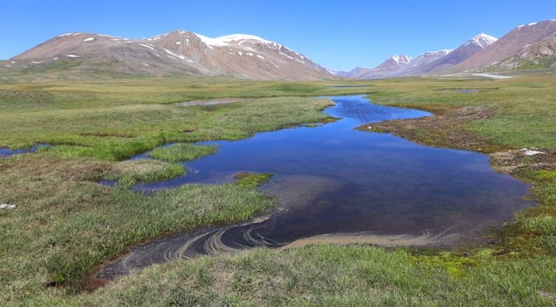
Just 200 meters to the south is the Central Lake Dzhashyl-Kel, located at an altitude of 3779.1 meters above sea level. After 5.5 kilometers, the river flows into the Jashyl-Kel South Lake, located at an altitude of 3752 meters above sea level.
The river bends around the Jetym-Bel ridge from the north, turns south and flows between the western slopes of the Akshiyrak ridge and the southeastern slopes of the Jetym-Bel ridge until it flows into the Taragai River. At the 28th kilometer in Arabel-Su on the left, the Katurtor River flows into the river at an altitude of 3647 meters above sea level.
At 35 km after the sources, the Ittysh River flows to the left and a little higher, the Kichi-Maitor River flows to the right. Throughout its length, Kashka-Su receives 8 tributaries on the left, 15 tributaries on the right. The speed of the river flow is 1.1 - 1.2 meters per second.
Geographic coordinates of Arabel-Su River: N41°52'51.31" E77°53'20.16"
Authority and photos by
Alexander Petrov.