You are here
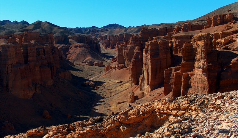
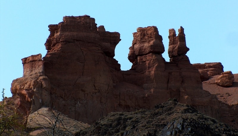
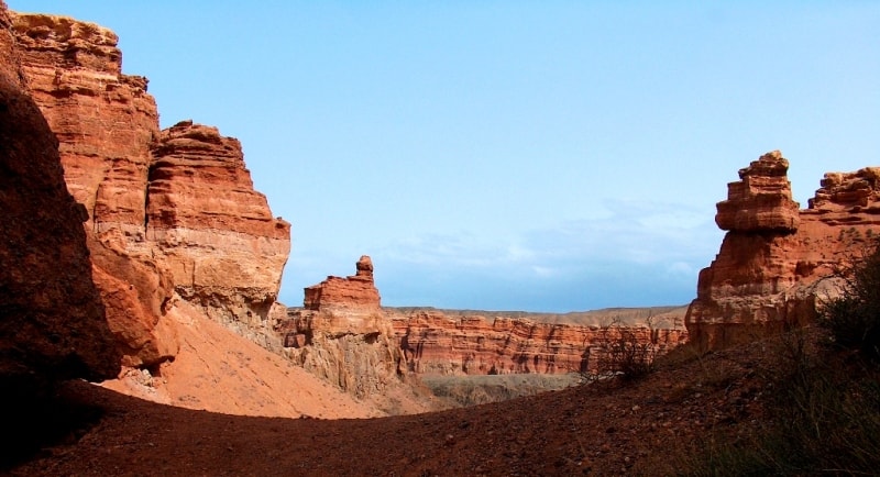
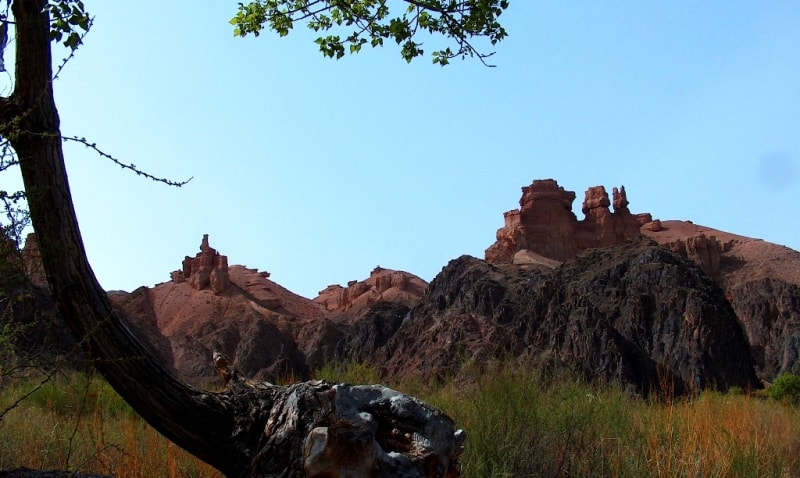
Valley of Castles in Toraigyr mountains.
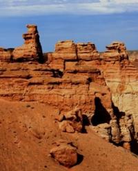

Trip to Charyn Canyon.
“It is not the strongest of the species that survive, nor the most intelligent, but the one most responsive to change”
Charles Darwin.
Distance route to Charyn canyon.
Valley of Castles in the northeastern tip of the Toraigyr Mountains, located at an altitude of 1112 to 910.9 meters above sea level, is located on the left bank of the river of the same name, on the territory of the Sharyn Natural Park, in the Uigur district of the Almaty region.
The quaint Valley of Castles stretches from northwest to southeast for 2550 meters. The valley is located on the territory of the Charyn National Park, formed in 2004. The descent to the Valley of Castles begins to the south, 100 meters from the parking lot.
The beginning of the descent into the Valley is at an altitude of 1126 meters above sea level. Having descended to the starting point of the walk in the Valley of Castles at a height of 1115 meters above sea level, the height loss is only 11 meters.
The Valley of Castles is a giant canyon, a dry ravine, which adjoins the left bank of the Charyn River. To the south of the main Valley of Castles, there is a parallel, less expressive Southern Dry Log with a length of 2400 meters.
If you walk 150 meters from the starting point of the walk in the Valley of Castles to the south to the road, then follow the path 190 meters to the south and climb a small pass, you can easily get to the neighboring Southern Dry Log and along which the path will lead to the Glade of Castles near the Charyn River.
Between the Valley of Castles and the Southern Dry Log there is an elevated watershed, from which majestic and diverse panoramas of the Valley of Castles open. The maximum depth from the surface (above the Valley of Castles) to the bed of the Charyn River reaches 156 meters (near the Glade of Castles near the Charyn River).
650 meters to the east is the first panoramic platform, located at an altitude of 1194 meters above sea level, on the edge of the Valley of Castles. From the hiking trail, which is laid along the northern end of the Valley of Castles, bewitching views of the amazing surroundings of the canyon open up.
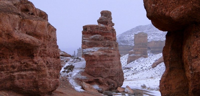
The architect of the Valley of Castles is called the destructive activity of wind (blowing loose rocks), water and gravity. In the Valley of Castles there are Cenozoic deposits that were exposed as a result of weathering and seasonal water work.
Here are the alternation of layers of pale yellow and yellow clay and weakly cemented, well-rounded gravel and pebble conglomerate. Grain of sand and molecule to molecule of limestone, sintered together under the pressure of the upper layers of the rock and under the influence of various chemical compounds dissolved in water.
By geological standards, the Valley of Castles is young. After the uplift of a block of the earth's crust that took place in the foothills of the Tien Shan 2 million years ago, the river began to cut its own passage. Close to the present appearance, the Valley of Castles reached about half a million years ago.
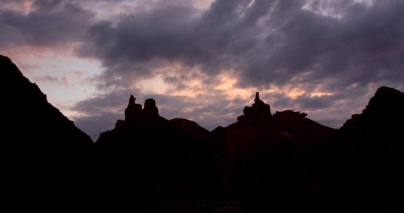
The work of water was continued by the sun and wind. This invisible skillful sculptor - the union of time and nature - does not stop for a second to rest, to look at his mysterious and majestic creations. Many figures in the Valley of Castles have received names: “Dragon”, “Lions Gorge”, there is “Valley of Yurts”, “Stone Bag”.
In 1886, a famous botanist and geographer, the author of the first Russian university textbook "Fundamentals of Geography" A.N. Krasnov: “Leaving for the Charyn canyon, you come to a vast steppe, flat as a table, overgrown with wormwood. In the distance, the mountains turn blue...
The soil breaks under your feet like a sheer wall and forms a steep steep. Above it opens a mountainous country of peaks, valleys and gorges, a harsh and gloomy country, falling steeply into the deepest valley where Charyn roars, from this height, which seems like a narrow ribbon, framed by trees, the crowns of which are no more than a pea".
For the most part, rain floods cut through the Carboniferous and intrusive rocks that make up the Toraygyr mountains, forming a log valley dating back to the Lower Carboniferous about 300 million years ago. These rocks are broken by a well-defined normal fault resulting from the uplift of a block of carbonaceous effusive rocks that were formed in the Quaternary.
This extremely picturesque area is very diverse in geological and geomorphological terms. Numerous fossil remains of the Lower Carboniferous are found on the slopes of the canyon. The flora of the Valley of Castles in the Toraigyr Mountains is poor.
Basically, on the way to the Charyn River, there are individual bushes of white saxaul and ephedra, closer to the river there are barberry bushes and turanga trees. It is rare to see a large gerbil, a hare and snakes.
Postal address of main office of Charyn Park:
Republic of Kazakhstan, Almaty region, Uigur district, with. Chunzha st. Kadyrbayeva 4. Tel. 8 (72778) 214 33, 236 29; nept61@mail.ru; www.charyn.kz The canyon is located 200 kilometers from Almaty.
Geographical coordinates of Valley of Castles in Toraygyr mountains: N43°21'11.47" E79°04'00.41"




Authority:
Marikovsky P.I. "The fate of Charyn". Almaty: Fund "XXI century", 1997.- 120 pages.
Luterovich O.G. "Three popular excursions around Semirechye". Guidebook, Almaty: "Service Press", 2016.- 92 p.
M. Ginatullin. "Linguistic Dictionary". Almaty: "Rarity", 2010
A.N. Maryashev. "Monuments of archeology of Semirechye and their use in excursions". Almaty, 2002
A.P. Gorbunov. Mountains of Central Asia. Explanatory dictionary of geographical names and terms. Almaty, 2006
T. Januzakov. "Essay on Kazakh onomastics". Publishing house "Science" - Almaty, 1982
"Natural Monuments of Kazakhstan". Remarkable landscapes and their protection.. A.V. Chigarkin, Alma-Ata, publishing house "Kainar", 1980.
"Nature of the Zailiysky Alatau", M.Zh. Zhandaev. Publishing house "Kazakhstan", Alma-Ata, 1978.
Photos by
Alexander Petrov.


