You are here
Glacier Abay. Dzungarsky Ala-Tau.


Backcountry skiing in Kazakhstan.
“Nature encourages no looseness, pardons no errors”
Ralph Waldo Emerson.
Health tourism in Kazakhstan.
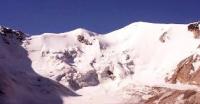
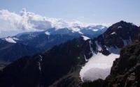
The glacier of Abay is on a northern slope of the ridge the Dzungarsky Ala-Tau in riverheads Baskan who is inflow of the river Lepsy. The area of a glacier of Abay makes 13.2 kilometers square, length of 10,9 kilometers, area of an ablyation of 5 kilometers square.
The volume of ice makes 1.1 kilometer of cubic. The snow line of a glacier of Abay passes at the height of 3620 meters above sea level, the lower part of a glacier is at the height of 3030 meters above sea level. The crest of a glacier more than 10 kilometers long with tops of Abay, Semenov Tien-Shansky of 4560 meters above sea level - the highest point of the Dzungarsky Ala-Tau - is plentifully snow-covered and avalanche.
In 1947 the route group of the sector of geography (since 1983 institute of geography of the Kazakh SSR) investigated a glacier since 1956 periodically observes its mode. It is called in honor of Abay Kunanbayeva.
Authority:
"Zhetysu is the Land of tourism”. A Tourist Guide-book. Almaty. 2003. 68 p. and the material for this page is taken from the printed edition.


