


![]()
You are here
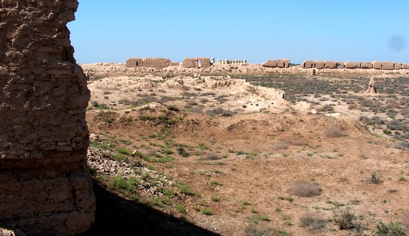
Erk kala fortress.

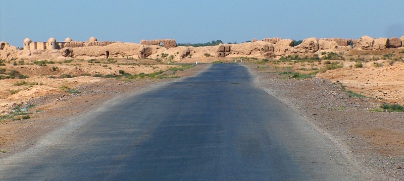
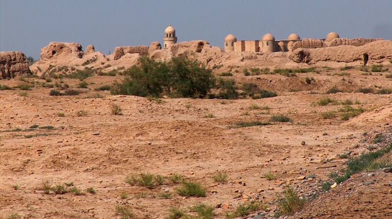
Visit of historical and cultural reserve "Ancient Merv".
«The northern outskirts of the town adjoin the walls of Bairamalihancali – the latest in a number of sites of ancient towns included in the protected area of the modern town – Siltan-Kala (IX-XII centuries), Gaur-Kala (III century B.C. – VIII - IX centuries A.D.) and, finally, Erk-Kala (I millennium B.C.) But the earliest site discovered at Merv (Gonur-Depe) is much older than Erk-Kala, dating back at least to the mid-I millennium B.C»
Excursion to fortress Erk kala in Merv.
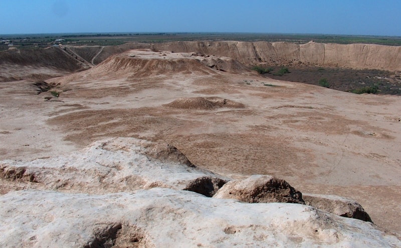
Erk kala ancient settlement is located on a natural hill 261.9 m. a. s. l., located on the territory of the historical and cultural park "Ancient Merv", 6.3 kilometers north-east of the town of Bayramali, 4.1 kilometers to the south-west from the Internationale settlement, 2.5 kilometers to the east and a little north of the Sultan Sanjar mausoleum in the Bayramaly etrap of the Mary velayat.
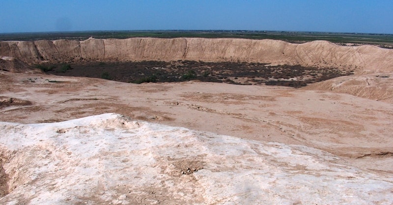
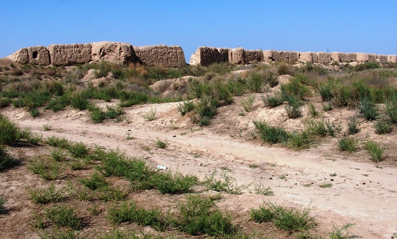
Hill Erk kala settles down considerably to the south Yaz depe, adjoining with medieval Old Merv. In VI-IV c.c. Up to B.C., in days of domination of the Persian tsars, the strengthened city borrowed the area in 12 hectares here settled down.
He has been enclosed thick - 6,5 meters in the basis - by a fortification.
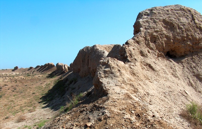
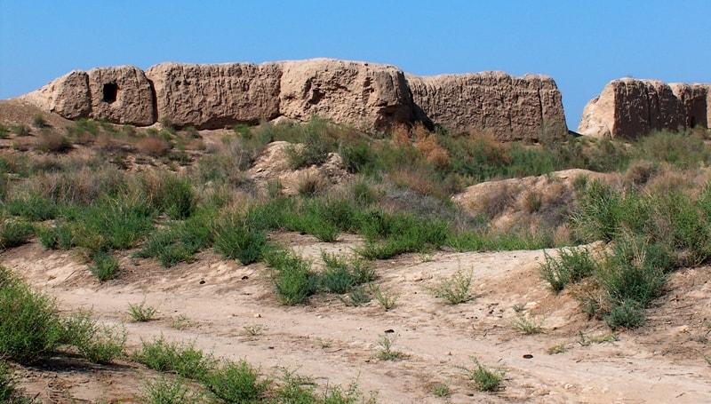
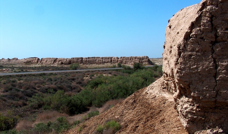
Excavation have found out to Erk kala the layers concerning by times of tsar Dariya and Alexander the Great. Walls of this fortress which later has turned to a citadel big cities, even being ruins, places reach height 3-4 meters. When city big, its territory has been led round by a new wall with massive square towers.
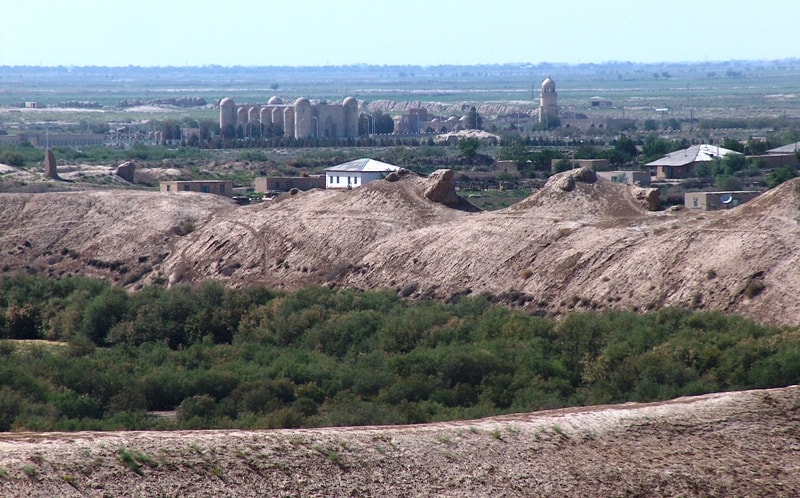
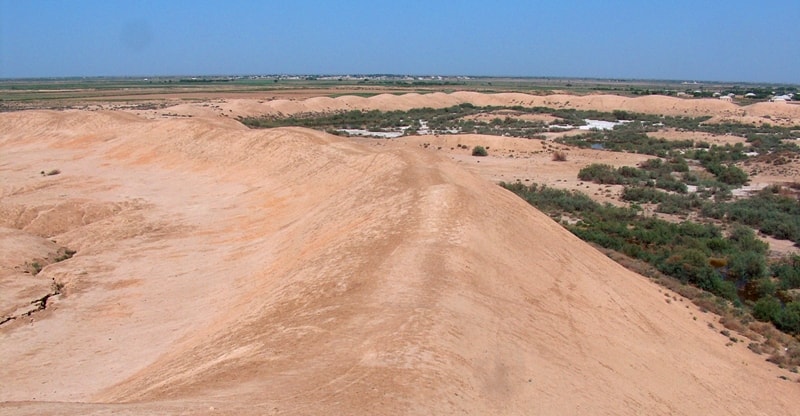
This wall combined from of bricks and today similar on become swollen shaft, covered the area almost in 4 Kilometers square. Long before the arrival of Christianity, this name was famous as the capital of a wealthy state along the River Murgab, on the territory of present-day Turkmenistan. From her former glory, all that remains are ancient crumbling walls, fortresses and tombs, covering an area of almost 100 square kilometers, 30 km from the modern-day town of Merv.
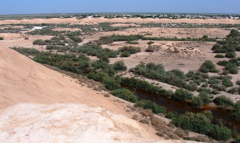
Erk kala, the most ancient of Merv's fortresses, has been seriously eroded by time, but its high and mighty walls still remain standing among the fortress. In ancient times, the area around Merv was a fertile oasis, about which numerous legends have been written.
The ancient Greek Historian Strabo wrote that he had seen grapevines so immense, their stalks were as wide as two men put together. In the fourth century B.C., Alexander the Great conquered the region, and the city became known as Alexander Margian.
After the death of this great general, his heir, Caesar Antioch I, ordered that the oasis be surrounded by a defensive wall, the length of which would be over 250 kilometers. Later, Iranian pagans further strengthened these walls with the aid of 10,000 captive Roman legionnaires, exiled here during the reign of Caesar Orod, after the armies of Mark Krass defeated Orod in Asia.
The originality of Merv lies of the fact that it represents a system of neighbouring sites, whereas in Damascus or Jerusalem new settlement traditionally replaced the old ones. As a matter of fact, Merv can be described as an “itinerant town”.
Later on the sites were abandoned, were never settled again and actually become unique “keepers of time”.
On the same day tourists move on to the town of Bairamali where they stay in the so-called State Mansion of Murgab, which once belonged to the family of Russia’s tsar. Today this magnificent building is occupied by the well-known Barmali sanatorium named after S.Turkmenbashi.
The sanatorium is on the site of a huge shady park. On the second day tourists enjoy an excursion to Ancient Merv where memorials are scattered around the town. They view the ruins of four different towns and four different epochs: Erk kala and Gyaur kala (from VI to X centuries B.C.), Sultan kala (VIII-XIII centuries B.C.) and Abdulah Khan kala (XV-XIII centuries B.C.).
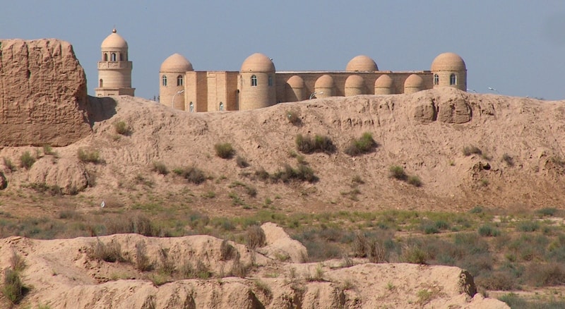
What following is a route southwards, starting at Erk kala and leading to Sultan Sandzar’s Mousoleum and Mohammed Ibn Zaid’s Mousoleum.
Geographic coordinates of Erk Kala ancient settlement: N37°40'10 E62°11'31
Authority:
Bernshtam A.N. «History-archeologic sketches Central Tien-Shan and Pamir-Alay». «Religious and spiritual monuments of the Central Asia».
Photos by
Alexander Petrov.