You are here
Austrian road.

Trip from Markakol lake by Austrian road.
“All art is but imitation of nature”
Lucius Annaeus Seneca.
Jeep tours from Markakol lake to Rakhmany lake.
It is a day's journey from Markakol to the Narym Valley and thence to the most northeastern peak in Kazakhstan's Altai territory: the renowned double summit of Belukha However, those who want to drive in any sort of comfort must go back to the Bukhtarminsk Reservoir, follow its shore and finally turn east up the Narym Valley, an interesting route in itself, but all the same a detour of some 500 kilometres taking much longer than a day.
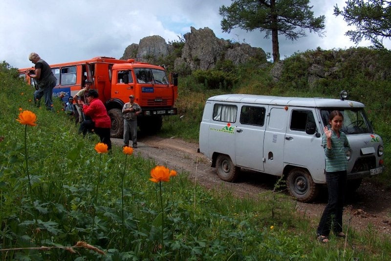
The "shortcut" is known as the Austrian Road, named after the Austrian prisoners of war who built it in 1915. Its condition seems not to have been upgraded since that time, and it is only due to its solid construction that one can still drive on it.
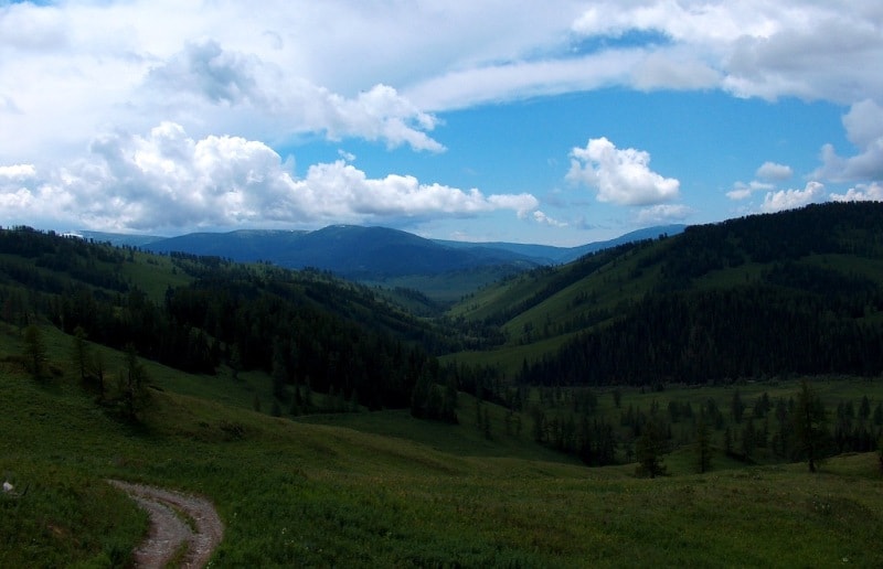
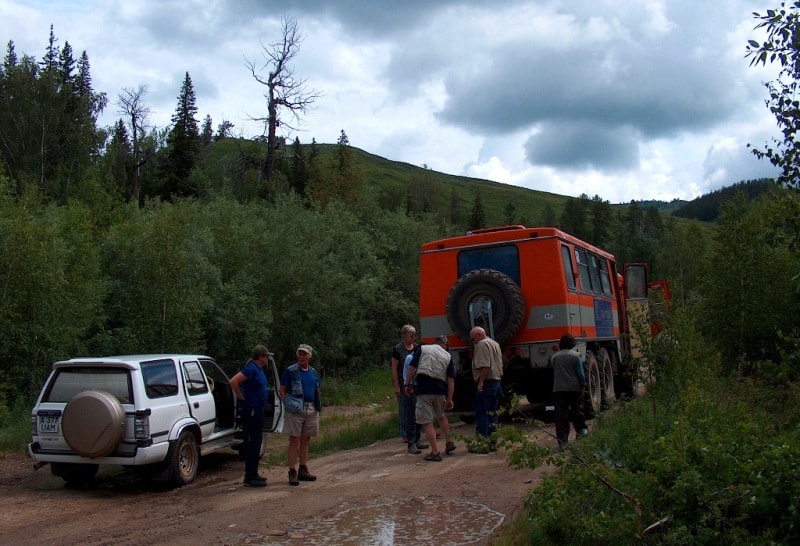
Good maps show the track as no more than a dotted line - meaning the lowest level of quality. People with weak nerves are advised not to attempt this road. North from Markakol the track bends up through a dry riverbed to the picturesque valley of the Sorvyonok River (Little Havoc Maker) and from there to the Altaiskiy Pass (1,967 metres).
A steep and treacherous track down from the pass leads into the Karakaba River Valley; this wild river flows into China where it ends up in the Black Irtysh. The roaring stream is crossed over the Kabinskiy Most bridge - it is best to close one's eyes while doing so, as the bridge's steel structure is heavily affected by water, ice and the substantial rocks carried along by the river, and you can see the foaming water through the many holes.
The road continues through a picturesque gorge, but three more bridges have to be crossed. If the weather is clear, you can see the Altai's highest peak (in fact the highest in all Siberia), Mount Byelukha (4,506 metres), in all its glory from the Burkhat Pass (2,141 metres).
The view stretches more than 100 kilometres from here on clear days. A serpentine gravel track now winds down to the Bukhtarma River Valley with a difference in altitude of 1,000 metres - the view should take your mind off the faint feeling in your stomach and the pressure-popping in your ears.
Once in the valley you are back on tarmac road. From here, you can either turn west and head back towards Bukhtarminsk Reservoir, or turn right and head towards Rachmanov Springs in the northeast.
P.S. Approximately, since 2014 the road is closed, in connection with that bridges through the rivers on the Austrian road (the information from 08.2017 years) are destroyed.


Authority:
The guidebook across Kazakhstan. Authors Dagmar Schreiber and Jeremy Tredinnick. Publishing house "Odyssey".2010.
Photos
Alexander Petrov.


