


![]()
You are here
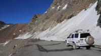
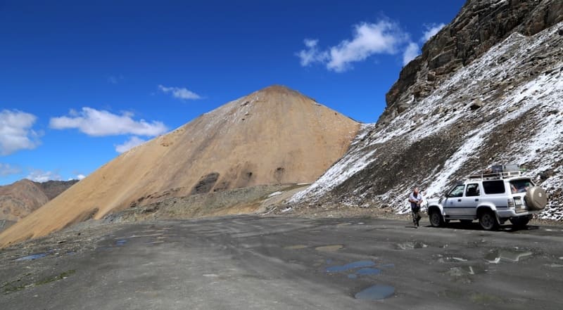
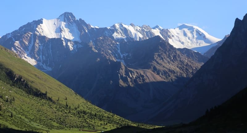
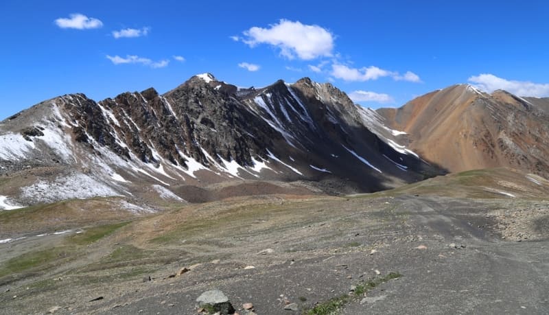
Chon-Ashu pass.
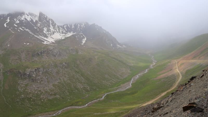
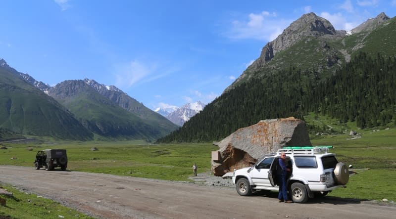
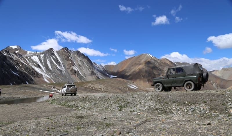
Travel through passes from Lake Issyk-Kul to Saryjaz valley.
"In addition to the road crossing the Tien Shan watershed between the Kok-Dzhar and Sary-Dzhar rivers, another road also comes out to the majestic Kok-Dzhar mountain pass, crossing the Tien Shan watershed between the peak of the Turgen River - Ak-su and Sary-Dzhar, but which was considered difficult in my time."
P. P. Semenov-Tyan-Shansky. "Journey to the Tien Shan". 1856 - 1857.
Passes in Terskey Ala-Too ridge.
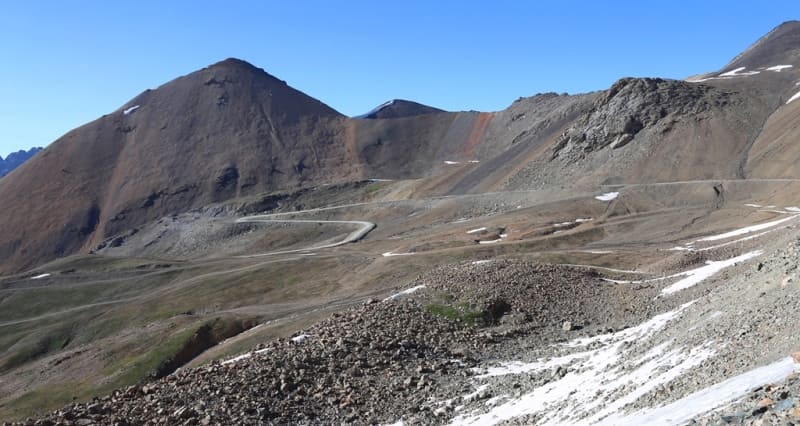
Chon-Ashu pass is located at an altitude of 3822 meters above sea level, located in main ridge of Terskey Ala-Too ridge in Ak-Suu district in southeast of Issyk-Kul region. A highway passes through the Chon-Ashu pass, which connects the administrative city of the Issyk-Kul region - Karakol with the village of Inylchek located on the left bank of the Saryjaz River. The length of the road is 143 kilometers.
History of construction of road Karakol - Inylchek village.
In 1962, at the confluence of the Inylchek River and the Saryjaz River, in the eastern part of the Central Tien Shan mountains, a rich deposit of tin and tungsten was discovered, which was named “Trudovoye”. From 1963 to 1968, prospecting and geological exploration work was carried out at the field.
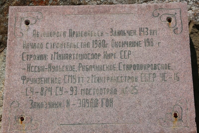
In the mid-1980s of the last century, a decision was made to build the Saryjaz mining and processing plant for its operation, which required a settlement for workers and miners to live. At the same time, construction of the highway began in 1980.
For the construction of the road, the main contracting company Ministry of Automobile Highways of the Kirghiz SSR, Issyk-Kul, Rybachinskoye, Staropokrovskoye, Frunzenskoye construction and installation departments of the Ministry of Transport and Construction of the USSR UE-16, Construction Department 874, Construction Department 93, Mostootryad No. 25 were involved. The customer was ELUAD GOK.
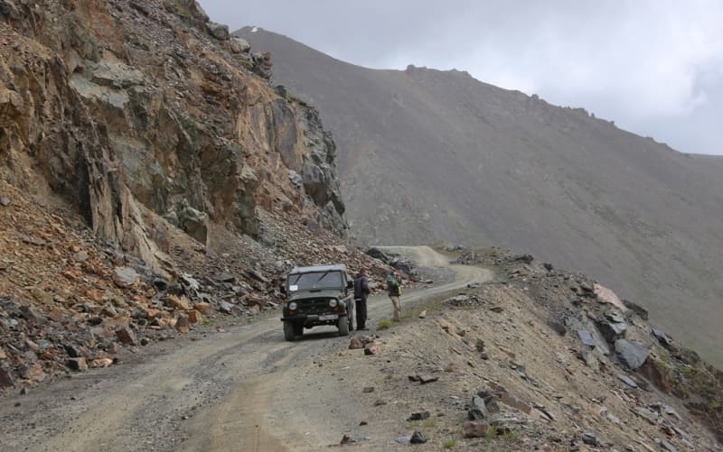
A lot of money and effort was spent on the construction of the road, but due to lack of funding, the road gradually began to fall into disrepair. Before the start of the ascent to the Chon-Ashu pass, on the right side of the road (direction from Karakol to the Chon-Ashu pass) a huge stone was installed, on which the builders installed an old, battered tractor with a DT-75 mechanized shovel.
For some time the monument was on the pedestal, then the tractor disappeared. During the winter months, when there is heavy snowfall, the section of the road from kilometers 82 to 112 (counting from Karakol) is periodically blocked.
Geographic coordinates of Chon-Ashu pass: N42°23'23 E79°03'44
Authority and photos by:
Alexander Petrov.