


![]()
You are here
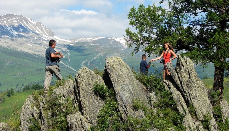
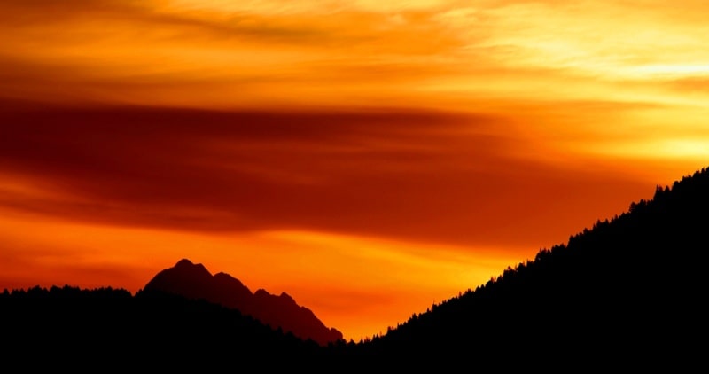
Hiking from Yazevoe lake to mount Belukha.


.")
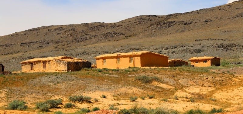
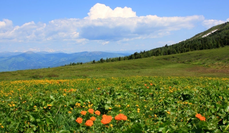
Growing magnet for travellers on Kazakh Altay.
“Travel is fatal to prejudice, bigotry, and narrow-mindedness, and many of our people need it sorely on these accounts. Broad, wholesome, charitable views of men and things cannot be acquired by vegetating in one little corner of the earth all one's lifetime”
Mark Twain.
Short description of route of tour across national park Katon-Karagay on Altay:
Ust-Kamenogorsk - Verkhnie Tainty village - bridge across Bukhtarma Reservoir – villages Ulken Naryn – Katon-Karagay – Uryl – Berel - Lake Karakol (Yazevoe) - upper reaches of Lake Karakus - Itolgon stream - Lower camp Big Kokkol - Upper camp Big Kokkol - Big and Small Berel glaciers - Ust-Kamenogorsk.
Distance of route: 1094 km.
Distance of an active part of a route: 104 km.
Season: from July 1 to September 1.
Best time for an tour: July, August.
Duration of tour: 12 days, 11 nights.
Detailed program of tour day after day from Ust-Kamenogorsk to Yazevoe lake:
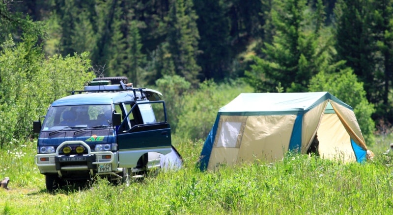
Solo traveller to Kazakhstan Altay.
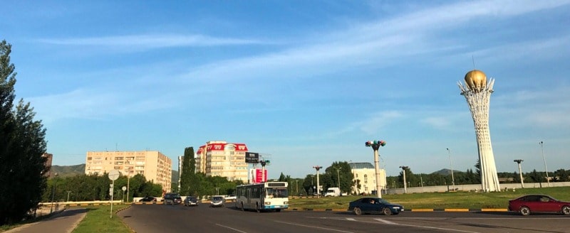
Day 1. Ust-Kamenogorsk - lake Karakol (Yazevoye) (495 km).
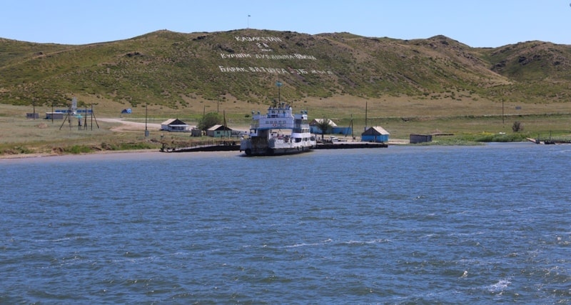
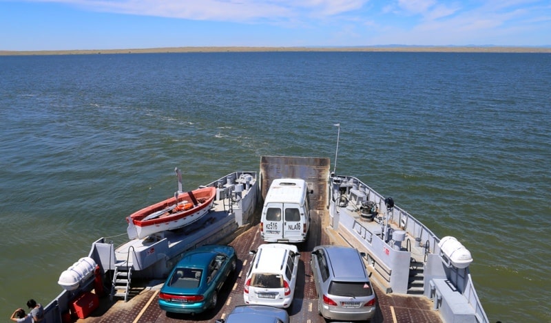
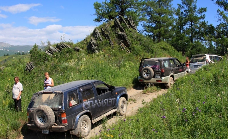
Transfer: Ust-Kamenogorsk - the Kaznakovskay crossing (175 km). Arrival on Kaznakovskay a crossing, expectation of the ferry.
Crossing on the opposite coast of the Bukhtarma reservoir (4 km). Further transfer: The Kaznakovskay crossing - the settlement of Katon Karagay (206 km). A lunch in the settlement of Katon Karagay.
Further transfer: the settlement of Katon-Karagay the settlement - the settlement of Uryl (60 km). A stop in the settlement of Uryl, it is possible to visit shops here. Farther on our way shops will not be any more.
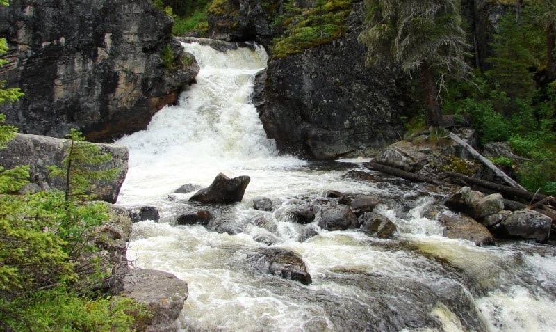
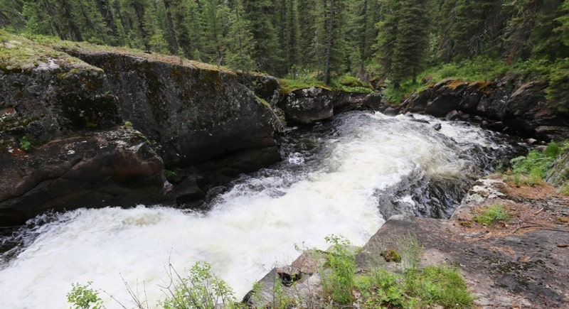
Transfer: The settlement of Uryl - the settlement of Berel - the bridge through river Belaya Berel - the settlement of Karaayryk (Yazovka) - Yazevy falls (45 km). Walk on the falls Yazevy.
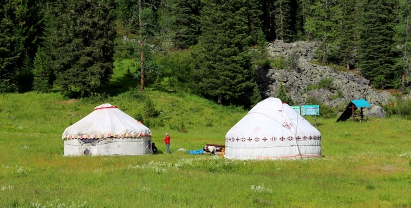
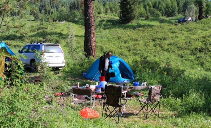
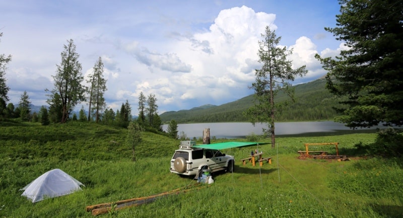
Transfer: Yazevy falls - the lake Yazevoye of 1656 meters above sea level (5 km). Arrival on the lake Yazevoye. Accommodation in guest houses or in tents, a dinner and overnight.
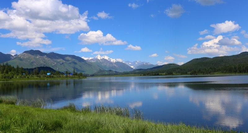
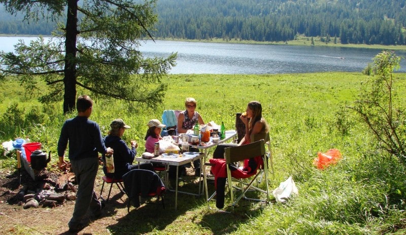
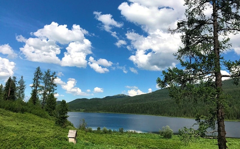
Day 2. Lake Yazevoye.
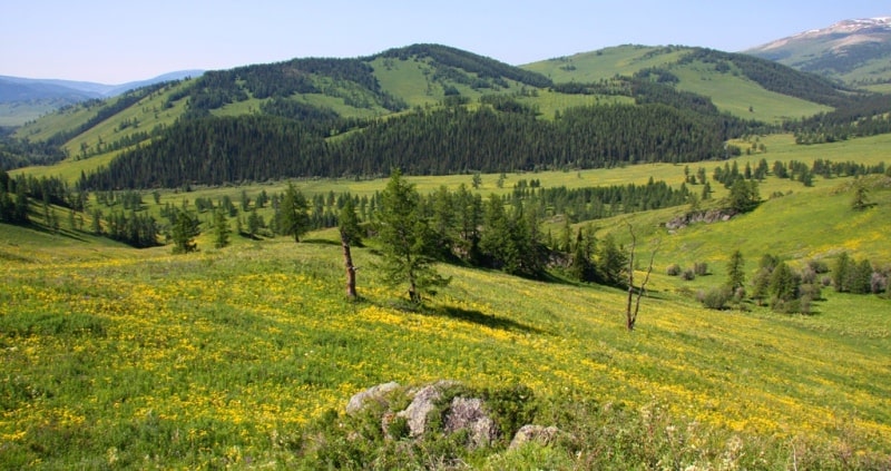
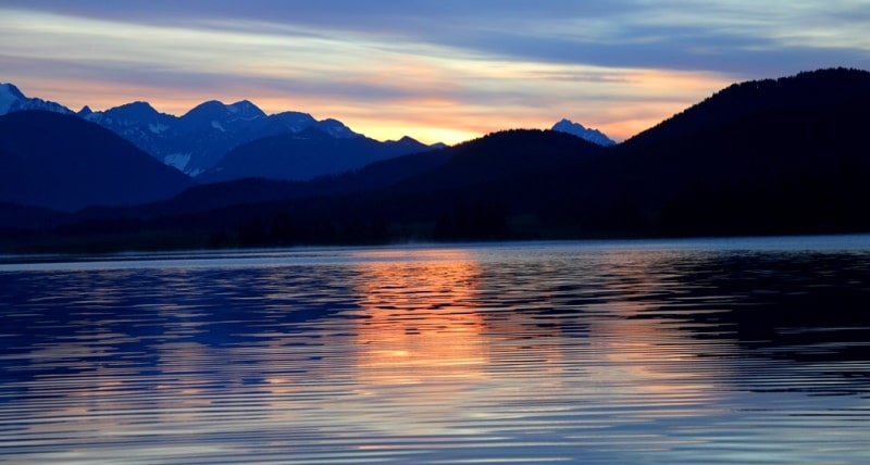
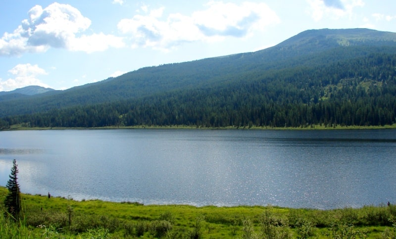
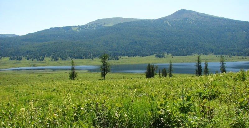
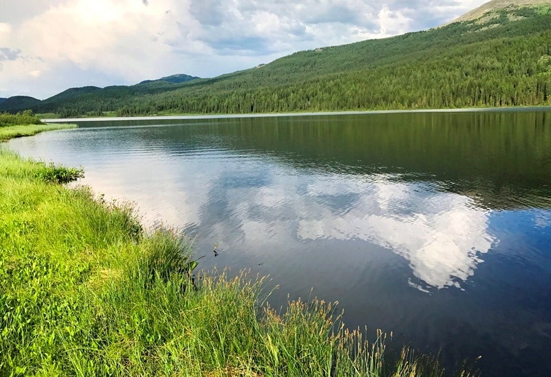
Breakfast. The lake Yazevoye is a fascinating part of our route across the Kazakhstan Altai. The lake Yazevoye is in the picturesque valley located at the height of 1656 meters above sea level. Lake length, from the North on the South 3 kilometers, width is 600 meters.
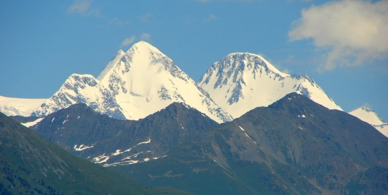
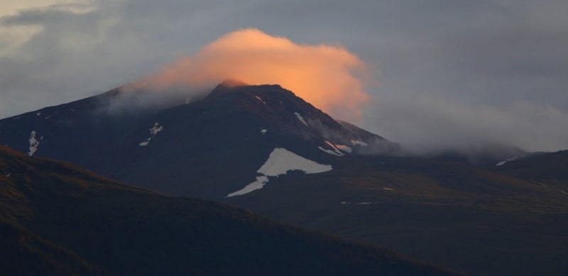
The lake rather warm during the summer period, it is possible to swim in the lake. In a clear weather from the coast of the lake the magnificent view on double tops of Mount Belukha of 4506 meters above sea level opens. Only one species of fish - an lives in the lake. Day of rest on the lake Yazevoy. Lunch. Walks in the environs of the lake. Return to the camp, dinner and overnight.
Day 3. The lake Yazevoye – head of lake Karakus.
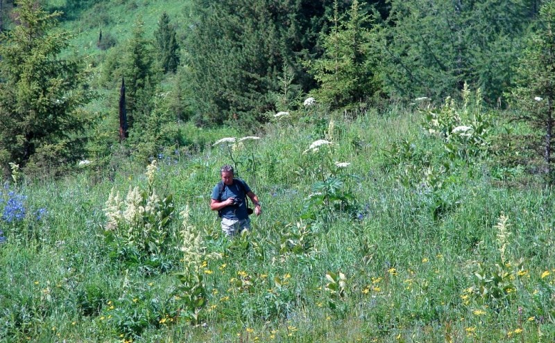
Breakfast. We leave the lake Yazevoye and we go to the thrown sawmill which is in a northeast part of the lake (5 km). Here short stop, rest.
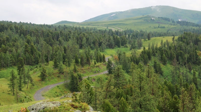
Hiking: the sawmill - Nizhnee sedlo pass height is 1970 subway above sea level the lake Karakus (7 km). After sawmill the track goes for rise. A lunch in way. Our track goes along the Russian border which is from us the northwest. Soon the boggy glade about 3 kilometers long begins. It is a little more time in way and before us the picturesque panorama of the lake Karakus will open. We pass 2 more kilometers above the lake Karakus and we stop on a overnight, a dinner and overnight in the tents.
Day 4. Lake Karakus upper courses – Small river Itolgon (12 km).
Breakfast. On the way we pass the pass of 1786 meters above sea level, our further way goes to the sheep station Sersembay (the sheep station of the shepherd Tursunkhan) which is located at the height of 1600 meters above sea level (6 km). A lunch in the environs of the sheep station Sersembay.
Further hiking: the sheep station Sersembay - the right inflow of river Belaya Berel a stream Itolgon height of 1607,6 meters above sea level (6 km). After the sheep station and the wide track, up river Belaya Berel begins. From east slope of the Katun ridge many streams flow down. The stop on the overnight for the night is higher than a stream Itolgon, a dinner and overnight in tents.
Day 5. Small river Itolgon - Nizhny the camp (13 km).
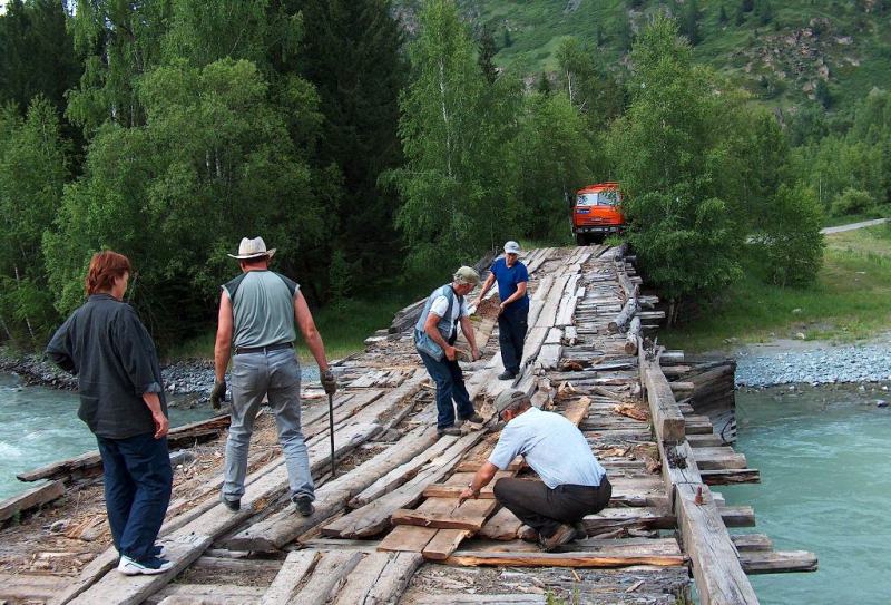
Breakfast. Hiking: Small river Itolgon - the bridge through river Belaya Berel (8 km). We continue our way to the bridge through river Belaya Berel on the right side of the river. A lunch at the bridge. The bridge through river Belaya Berel was constructed in 1938. This difficult engineering construction which serves for a crossing through the river of 80 years (2018). The bridge is built of a larch and hammered together by shod nails.
Further hiking: the bridge through Belaya River Berel - Nizhniy camp of 1795 meters above sea level (5 km). In the environs of the bridge through river Belaya Berel very picturesque place, is a lot of berry here - bilberry. From the bridge steep and difficult slope on the pass begins.
Day 6. Nizhniy camp. Day of rest and easy walks.
Breakfast. The mine Kokkol worked till 1954. From Nizhny of the camp stayed at home only two today. Environs of Nizhny of the camp are the traditional tourist camp lot of all tourists traveling in Altai. From here radial routes to the bottom of Belukha, Big and Small Berel glaciers, on the Top camp, the lake Kokkol are made.
Radial walk on Kokkol falls which are near our camp (15 minutes). Watching falls it is possible to see the water dust rising from below up as dense fog which forms iridescent shine. Walk in the environs of Nizhny of the camp.
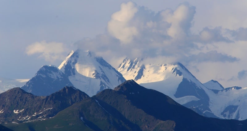
From environs of Nizhny of the camp in a clear weather the magnificent view on top of East Belukha of 4506 meters above sea level, a wide panorama overlooking the Berel glacier opens. In a bottom the river of Big Kokkol which flows into river Belaya Berel flows. Through Big Kokkol river the bridge on the opposite coast on which small house built wood are located is laid. A lunch and dinner, overnight in tents.
Day 7. Nizhniy camp - Top camp (the molybdenic mine) (9 + 9 = 18 km).
Breakfast. We will make radial walk to the Top camp. We ford the river Small Kokkol, on the way we will visit the lake Kokkol. The top camp is on the pass to camp the real old way paved through rocks and big stones is paved.
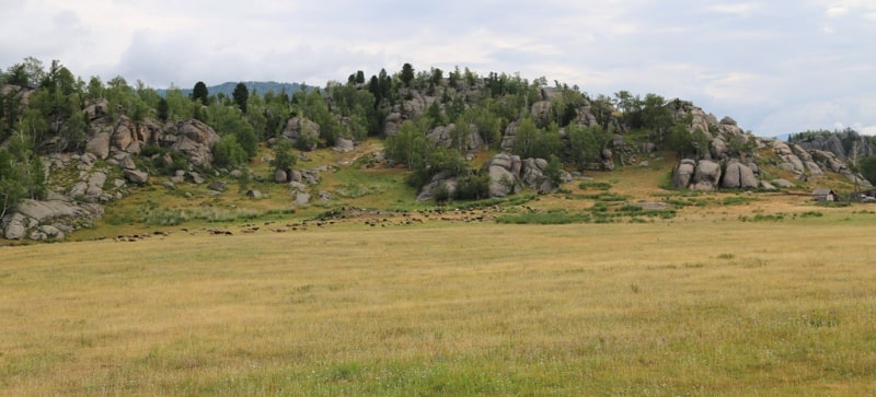
On the pass there is a museum under the open sky - barracks, it is a lot of mining equipment, portable engine, the diesel on which carts transported ore (meter box), the cars "Ford". Lunch on the Top camp. There is a concentrating factory which are in good shape too. Here world of rocks, glaciers and snow, mosses and lichens, mountain lakes and crystal streams. Walk in environs. Return to Nizhny camp, dinner and overnight.
Day 8. Nizhniy camp - Big and Small Berel glaciers (6 + 6 = 12 km).
Breakfast. Big Berel glacier. Is situated in the southern mountainside of eastern part of Katyn ridge in Belukha region. The length is 10.4sqkm , the total area is 10.3km. The total area of the glaciers is 12.2km, the size of the ice is - 0.89km.
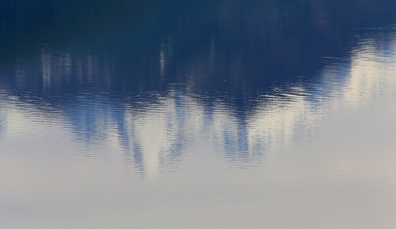
Small Berel glacier. Is situated on the southern mountainside of Katyn ridge in upper White Berel river. The area is 8.9km, the length is 8.3km, the size of the ice is 0.72km. We leave the camp and on the way we visit the thin lake of Balance (Warm). The lake was formed of glacial water. The lake is located opposite to Mount Belukha in good weather in it mountains and the blue sky are reflected. Excursion to a foot of the Berel glacier. At first the track goes on slopes the overgrown cedar wood. Small fords through streams. We go down to the Warm lake. Water in the lake is warmer, than in the neighboring glacial lakes. Further the ford through riverheads.
During a rain this ford can be a serious obstacle. Behind the ford the steep slope on the helipad. There is a camp of rescuers of regional group from Ust-Kamenogorsk. From this place the wonderful view of the Berel glacier and the beauty Belukha opens. We come back on the stony taluses slipping from a glacier and we begin rise on its spurs.
After visit to lake Balance (Warm) we go down to Lake White and soon we will pass in a glacier grotto from where sources of river Belaya Berel begin. Lunch on the way. Returns to Nizhny the camp, a dinner and overnight in tents.
Day 9. Nizhniy camp – Small river Itolgon (13 km).
Breakfast. Hiking: The Nizhniy camp - the bridge through river Belay Berel (5 km). A lunch in way.
Hiking: the bridge through river Belaya Berel – Small river Itolgon (8 km). A dinner and overnight in tents.
Day 10. Small river Itolgon - head of lake Karakus (12 km).
Breakfast. On the way we pass the pass of 1786 meters above sea level, our further way lies to the sheep station Sersembay (the sheep station of the shepherd Tursunkhan) (6 km). A lunch in the environs of the sheep station.
Further hiking: the sheep station Sersembay - head of the lake Karakus (6 km). A dinner and overnight in tents.
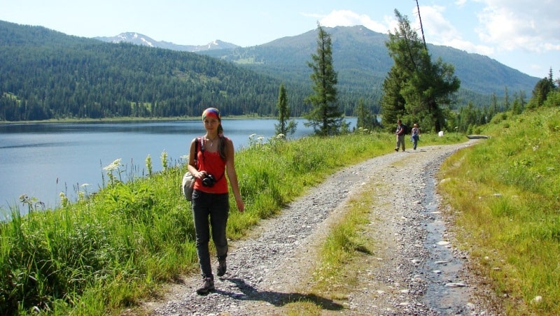
Day 11. Head of lake Karakus - lake Yazevoye (12 km).
Breakfast. Hiking: head of the lake Karakus - the pass the Nizhniy saddle - sawmill (7 km). A lunch in way. Hiking: sawmill - the lake Yazevoye (5 km). Arrival on the lake Yazevoye, accommodation in guest houses or in tents, a dinner and overnight.
Day 12. Lake Karakol (Yazevoye) - Ust-Kamenogorsk (495 km).
Breakfast. Transfer: the lake Yazevoye - the Settlement of Uryl (50 km). A stop in the settlement of Uryl, visit of shops.
Further Transfer: the settlement of Uryl - the settlement of Katon-Karagay (60 km). A lunch in cafe.
Transfer: the settlement of Katon-Karagay - the Kaznakovsky crossing (206 km). A crossing on the opposite coast of the Bukhtarma reservoir (4 km).
Transfer: The Kaznakovsky crossing - Ust-Kamenogorsk (175 km). Arrival in Ust-Kamenogorsk, transfer to hotel, accommodation, farewell dinner and overnight.

Note:
Author program of Alexander Petrov. Copying and introduction - from the sanction of the author.
Alexander Petrov
photos by: