


![]()
You are here
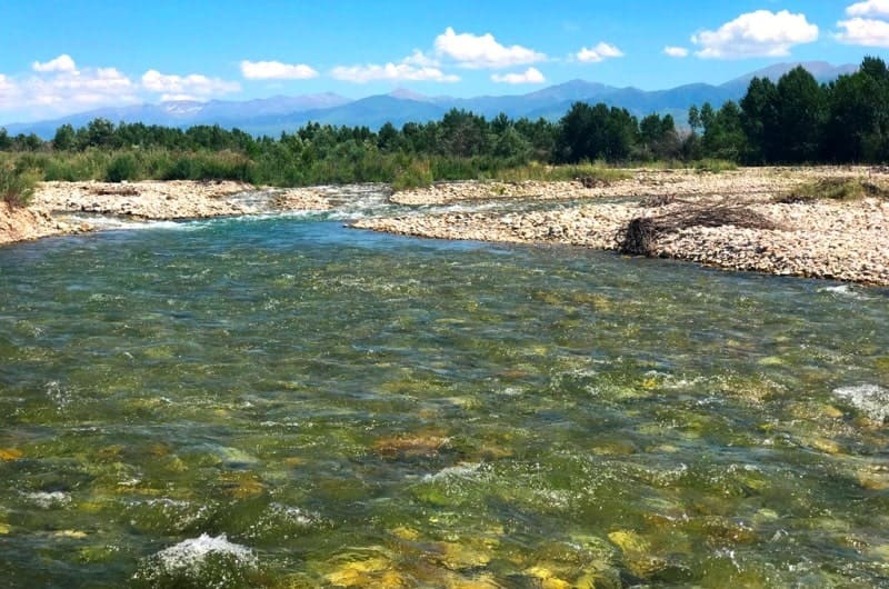
Karatal river in Kazakhstan.


Experiential tourism in Kazakhstan.
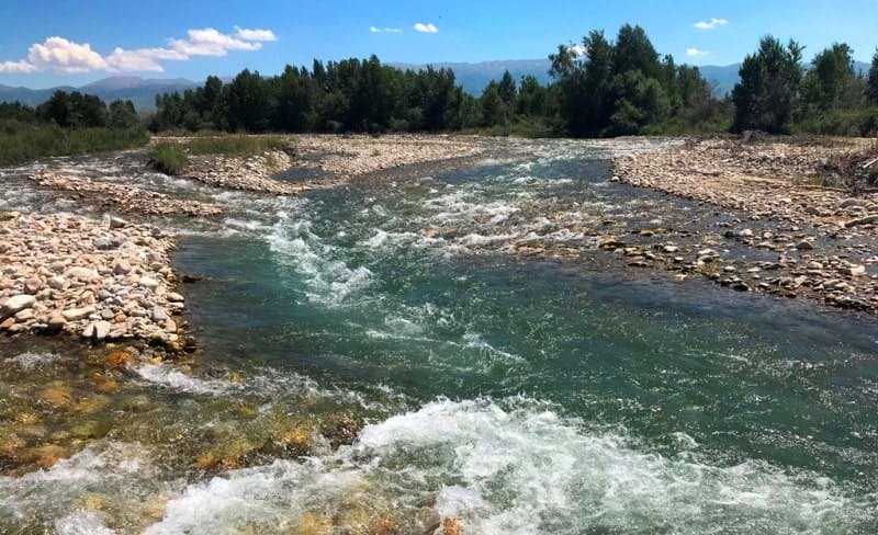
"Leaving Sarybulak early the next morning (August 25), I reached the Karatal River, about five miles away, one of the most significant rivers in Semirechye. Having just emerged from the mountain valley that had confined it, it rushed over rocks and stones, breaking into numerous branches and forming numerous rapids. Fording the river here was difficult due to the extraordinary speed of the two main branches of the Karatal. To facilitate the crossing, the road climbed up the Karatal River for about twenty miles to the newly established Karabulak picket, which at that time was not yet fully completed and consisted of a group of temporary yurts."
"Journey to the Tien Shan," P.P. Semenov-Tyan-Shansky. 1857.
Faith tourism in Kazakhstan.
Karatal River lies at an altitude from 341.7 (mouth) to 1025 (river head) m. a. s. l. The Karatal River, with a length of 390 kilometers, flows through the Karatal and Eskeldinsky districts of the Zhetysu region.
River is formed by the confluence of three rivers: the Kora, Chizhe, and Tekeli. The river is 390 kilometers long, with a drainage area of 19,100 square kilometers. The Kora, Chizhe, and Tekeli Rivers originate from glaciers on the southwestern slopes of the Dzungarskiy Alatau and flow into Lake Balkhash.
In its upper and middle reaches, the abundant tributaries of the Koksu and Tentek flow into the Karatal River; the channel widens, the current slows, and before reaching its mouth, the Karatal flows through the desert plain and deserts of the Zhetysu region (Moiynkum, Saryesik-Atyrau, Zhamankum, Bestas, and Lokkum).
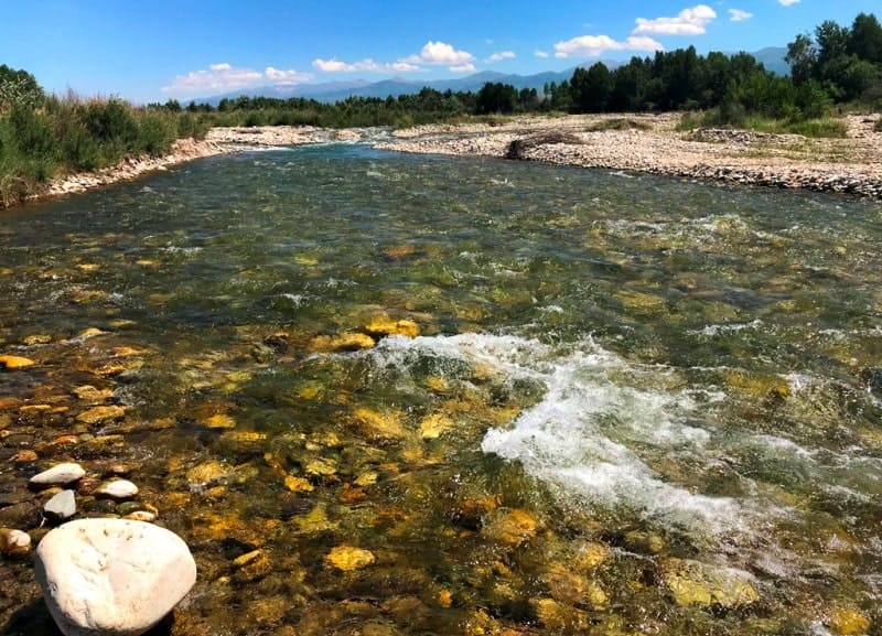
The river is fed by glaciers and snow, partly by groundwater, and partly by underground water. The average annual water discharge near the city of Ushtobe is 66.7 meters per second. The Karatal River and its tributaries (the Koksu, Mukur, Bizhe, Kartoy, and Yerkin) feed the Karatal irrigation system.
The irrigated area covers over 120,000 hectares of crops in the Koksu and Karatal districts. The water is potable and used to supply many populated areas. The cities of Taldy-Korgan and Ushtobe, as well as the urban-type settlement of Karabulak, are located on the banks of the Karatal River.
There is a railway bridge near Ushtobe and a highway bridge between Almaty and Ust-Kamenogorsk. The Karatal River is the second largest river in Semirechye. For a third of its route, the Karatal flows among the mountains, then enters a wide valley, where the full-flowing Koksu River flows into it from the west.
The Karatal River then flows among the sands of the Balkhash region for 40 km. Before flowing into Lake Balkhash, the Karatal River forms a wide delta, reaching 100 meters in width, with a current speed of 7 kilometers per hour. The river delta is home to large catfish and birds.
Pelicans, cormorants, various duck species, herons, gulls, and waders have all made this area their home.
Geographical coordinates of Karatal River's source: N44°51'32 E78°46'03
Geographical coordinates of Karatal River's mouth: N46°29'53 E77°14'10
Geographical coordinates of Karatal River: N45°34'53 E77°35'20
Authority:
Brief Encyclopedia of the Kazakh SSR, Volume 2 "Nature", Alma-Ata, 1990. Encyclopedia "Alma-Ata", 1983. Alma-Ata. Editor-in-Chief M.K. Kozybaev.
Photos by:
Alexander Petrov.