


You are here
Keltau mountains. Western Kokshaal-Too.
Travel to Atbashi region in Kyrgyzstan.
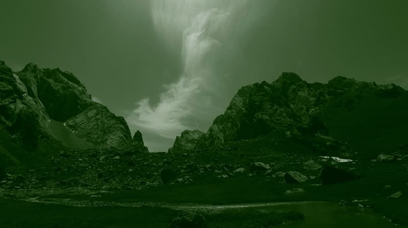
“The gloomy and beautiful mountain in places cut through with small cracks and gorges, from which moisture and mystery wafted on those who were riding; other mountains were visible through the gorges, boers, pink, purple, smoky, or bathed in bright light. Occasionally, when we drove past the gorges, we heard water falling from a height and splashing over the stones."
A.P. Chekhov. "Duel".
Mountains in Atbashi region of Kyrgyzstan.
Keltau mountains are located in the western part of the Western Kokshaal-Too ridge in the Atbashi region in the southeast of the Naryn region. The Keltau mountains are located 8 kilometers southwest of the Sarybeles ridge and 16 kilometers southwest of the Kekkiyya ridge.
Keltau mountains are located on the same line, from northeast to southwest between the Kekkiyya and Sarybeles mountains, it is a branch of an independent ridge from the Western Kokshaal-Too to the southwest for 35 kilometers.
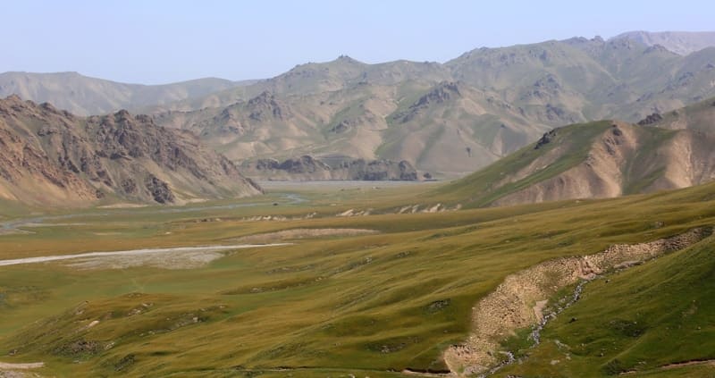
The mountains stretch in the meridional direction for 13 kilometers. The greatest width of the mountains from Lake Kel-Suu and to the mouth of the Karadzhilga river into the river with a length of 7.2 kilometers to the Tuyuk-Botomoynok river is 7 kilometers.
The western borders of the ridge are the Kel-Suu river with a length of 6 kilometers and the lake of the same name, located at an altitude of 3530 meters above sea level. In the north, the mountains border the mouth of the Kel-Suu river into the Tuyuk-Botomoynok river with a length of 30 kilometers. In the east, the border of the mountains is the valley of the Tuyuk-Botomoynok river.
The southern border of the mountains is the valley of the rivers Eschigart East with a length of 3.5 kilometers and Eschigart West with a length of 6 kilometers. The sources of these rivers are located, respectively, on the eastern and western sides of the Eshigart Pass with a height of 3933.8 meters above sea level.
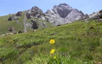
The dominant height of the mountain range is the peak of 4613 meters above sea level, located in the central part of the mountains. There are also several small glaciers here. The snow line in the area is located at an altitude of about 4000 - 4500 meters above sea level.
The river valleys have a high absolute height of about 3000 - 3500 meters above sea level. The climate in the valley is harsh. The average monthly temperature in summer is about 5 - 8 C, the weather is unstable.
This region is characterized by a combination of typical alpine forms (many vertical rocky walls with a height difference of about 1.5 - 2 kilometers). The whole area, including the lowlands, the permafrost zone. Wetlands are common up to 4000 meters above sea level.
Geographic coordinates of Keltau mountains: N40 ° 41'35.02 "E76 ° 25'09.76"
Authority and photos by
Alexander Petrov.