


![]()
You are here
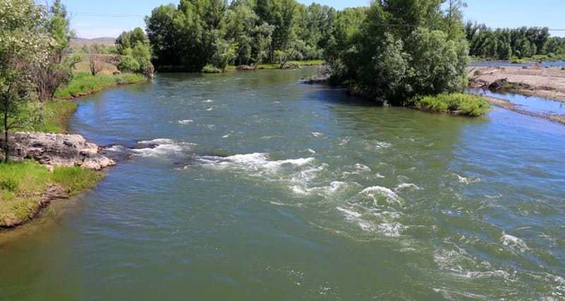
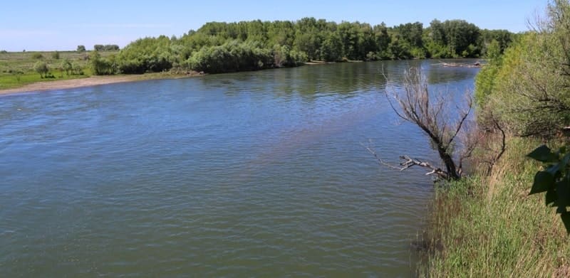
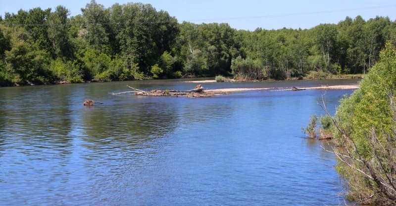
Kurchum river.

Trip and rest on Kurchum River.
"Twilight. Evening. Mountains in spring.
The rocks are washed with fresh dew.
In a flowing moonlit gown, nature –
Like a beauty under a veil."
Saken Seifullin. "In Spring." 1919. Translated by V. Vinogradov.
Rivers flowing into Bukhtarma reservoir.
Kurchum River is located at an altitude of 395 (mouth) to 2592 (source) m. a. s. l. River's source is west of Bayberdy natural landmark, upper reaches of river lie between Kurshumsky Range in south and Sarymsakty Range in north, middle and lower valleys of river are located between Bukhtarma Reservoir and northern slopes of Kurshumsky Range, in Kurshumsky District of East Kazakhstan Region.
The river is 213 kilometers long, with a drainage area of 6,140 square kilometers. It originates in the spurs of the Sarymsakty and Kurshumsky ridges and flows into the Bukhtarma Reservoir. Its main tributaries are the Sarymsakty, Kunduzdy, and Terekty rivers.
The Kurchum is a mountain river with steep and precipitous slopes, heavily dissected by valleys and ravines at depths of 400-800 meters. Its channel is moderately meandering, 30-50 meters wide, and fed by snow and groundwater. The average annual water flow near the village of Voznesenskoye is 60.8 m/s.
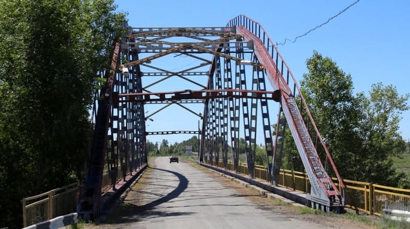
The river has abundant energy resources and is used for timber rafting. Its drinking water is used for public water supply; irrigation is carried out through seven main canals (a total volume of 51.1 million cubic meters of water). There is a road along the river (bus service from Kurchum to Maralikha).
Geographical coordinates of Kurchum River: N48°45'54 E84°47'37
Geographical coordinates of source of Kurchum 1 River: N49°01'20 E85°44'42
Geographical coordinates of source of Kurchum 2 River: N48°58'57 E85°49'10
Geographical coordinates of mouth of Kurchum River: N48°36'42 E83°31'35
Authority:
"Zhetysu is the Land of tourism”. A Tourist Guide-book. Almaty. 2003. 68 p. and the material for this page is taken from the printed edition.
Photos by:
Alexander Petrov.