You are here
Lake of Burkhat Kol.
Interesting travel across Kazakhstan.
"We passed a lake, a hundred fathoms long and 15 fathoms wide, lying in a fairly deep basin; ducks were swimming on it. They say here that this lake has no bottom; its edges are covered with a swamp; it would be a disaster to fall into this quagmire. Finally, we climbed up to the Burkhat Pass; as we climbed, there were some disheveled, low, crooked or simply lying coniferous trees."
L.K. Poltoratskaya. "A Trip Along the Chinese Border from Altai to Tarbagatai." 1871.
Book travel to Central Asia.
Lake Burkhat-Kol (Maralye) is located at an altitude of 2141.9 meters above sea level, is located on southern slope of Tarbagatai ridge, 733 meters from road, 2.4 kilometers northeast of Burkhat pass, 12.5 kilometers (by road) from Katon-Karagay - Uryl road in Katon-Karagay district, natural park of same name in East Kazakhstan region.
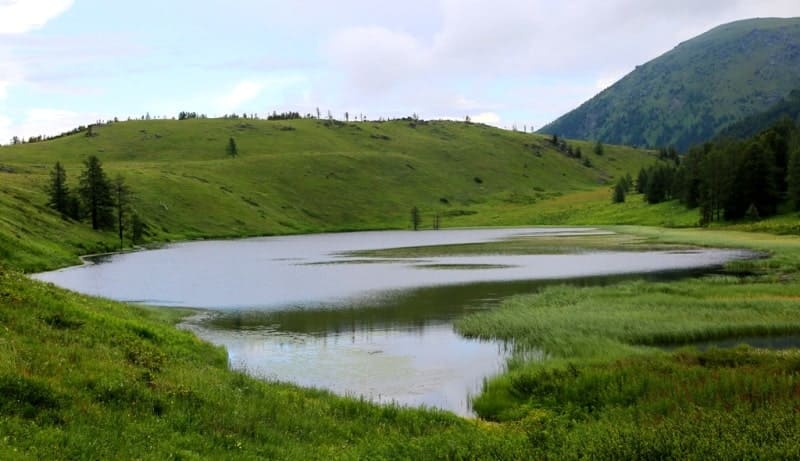
The length of Lake Burkhat-Kol is 477 meters, the greatest width in the eastern part of the lake is 111 meters, the lake is stretched in the meridional direction. The area of the lake reaches 0.05 square kilometers, the length of the coastline is 1.12 kilometers.
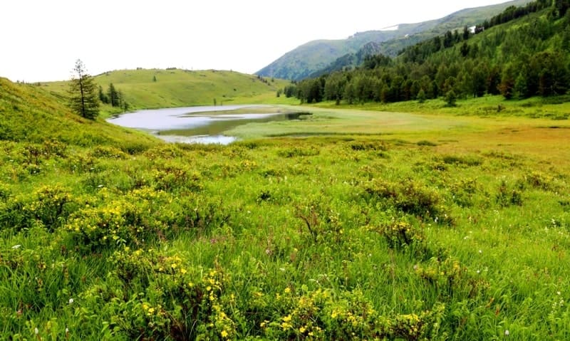
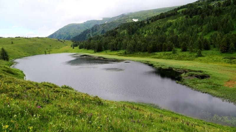
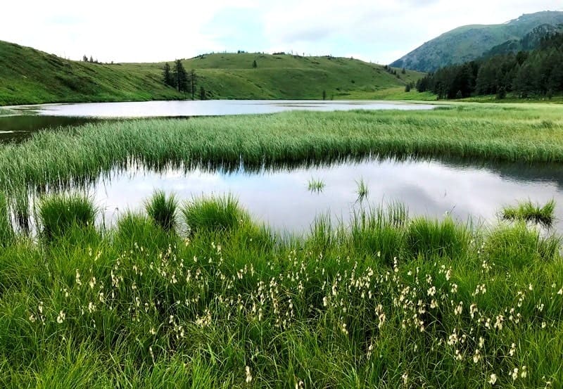
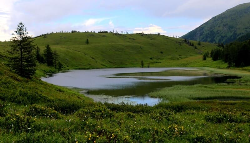
Lake Burkhat-Kol is a lost mirror in the Tarbagatai mountains. Among the folded mountains and foothills of Eastern Kazakhstan, on the northern slope of the Tarbagatai Range, a small but picturesque lake, Burkhat Kol, is hidden. Secluded and little known, it seems to have taken refuge in a fold of ancient land, preserving its pristine beauty and atmosphere of silence.
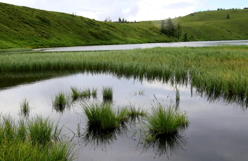
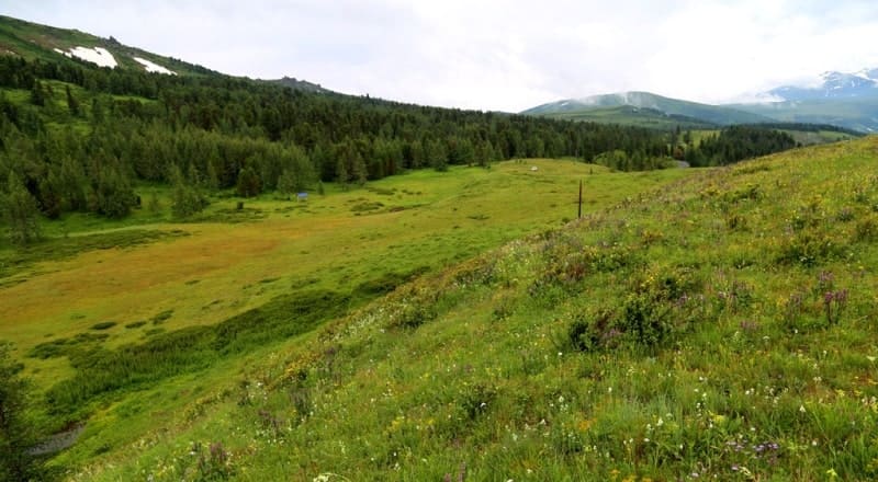
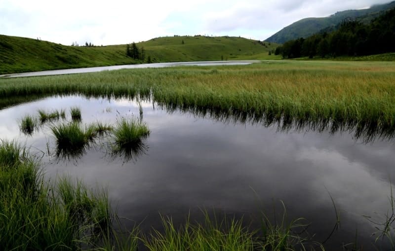
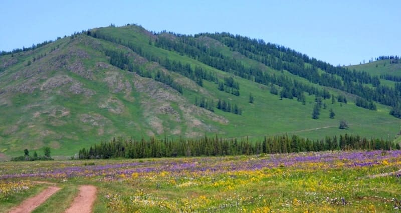
This section of Tarbagatai is distinguished by its soft wavy relief, and its slopes are cut by valleys along which numerous springs and temporary streams flow. The lake is located in a small intermountain depression among deciduous taiga. The western and southwestern parts of the lake are heavily swamped; birch, cedar, larch, dwarf cedar and dwarf birch grow on the mountain slopes around the lake.
The lake is fed by snow and groundwater, as well as seasonal streams flowing from the upper reaches. The lake is distinguished by its clean, transparent water with a bluish-green tint. In the warm season, the banks are overgrown with sedge, grasses and dwarf shrubs.
Here you can meet waterfowl - waders, mallards, shelducks, especially in the spring and autumn migratory period. The lake's surroundings serve as a natural pasture for domestic animals, as well as a habitat for wild ungulates - marals and roe deer, which sometimes come down to the water in the morning. Golden eagles, kites and vultures circle above the slopes of the ridge.
In the waters of Burkhat Kol, you can see small fish, and in some places - duckweed and thin threads of algae. The lake itself is small in area, but is distinguished by its considerable depth in the central part. Lake Burkhat-Kol remains a poorly studied and difficult to access object, which makes it especially attractive for wildlife enthusiasts, ornithologists, botanists and travelers seeking to get off the beaten track.
The road to the lake runs along dirt paths and slopes, requires good physical fitness or off-road transport. Interest in this region is growing, especially with the development of ecotourism and ethnographic routes in the footsteps of ancient nomads and caravan routes. The lake could become an ecological tourist site included in the system of protected natural areas of the region.
Legend of Lake Burkhat Kol.
The name "Burkhat Kol" may be associated with the Turkic root "burkhan" - "deity" or "shrine", which is typical for toponyms with sacred meaning. According to legend, the lake was considered "living water", giving vigor to travelers and cattle breeders.
Old-timers said that during severe drought, the water in the lake never dried up, and the cattle, watered from it, always returned to the camp, as if they sensed the way. Therefore, the shepherds considered this place blessed and protected by the spirits of Tarbagatai.
Burkhat Kol is a quiet, almost unnoticeable corner of Eastern Kazakhstan, where nature has preserved its tender pristine nature. Here you can feel the breath of the steppes, the sound of the winds, the taste of silence. This lake is not loud, not famous, but this is precisely its charm, it awaits the one who can notice it, understand and love it.
Geographical coordinates of Lake Burkhat-Kol (Maralye): N49°08'39 E86°02'44
Authority and photos by:
Alexander Petrov.


