You are here
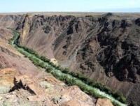
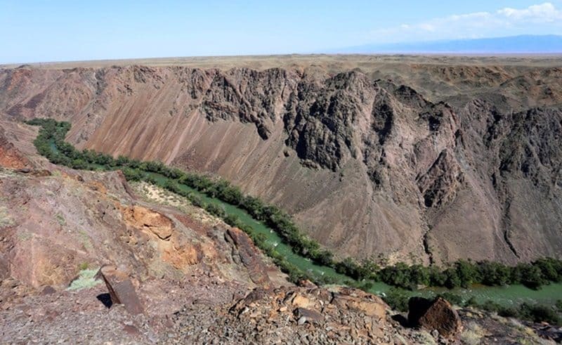
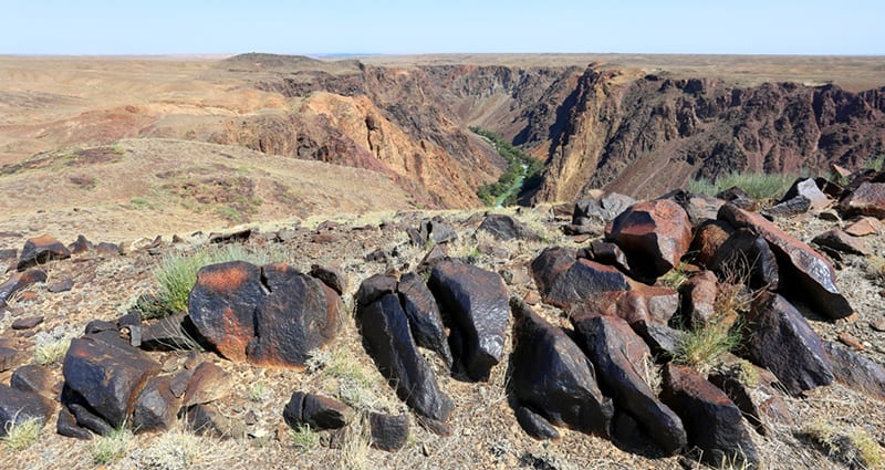
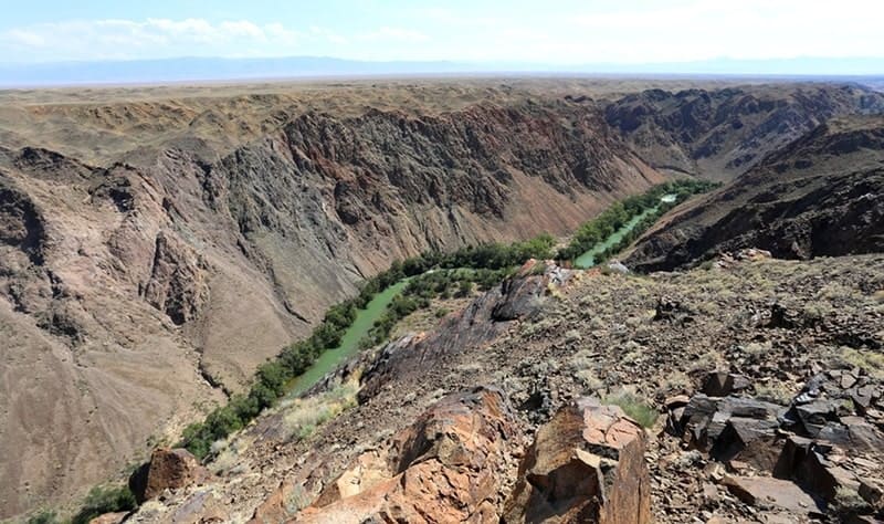
Moiyntogay valley on Charyn River.

Trip to Charyn canyons.
“Nature abhors annihilation”
Marcus Tullius Cicero.
Excursion to river Charyn.
Moiyntogai valley is located on the left bank of the Charyn River, at an altitude of 958 meters above sea level in the Uygur district of the Almaty region. The tract is located 6.7 kilometers southeast of the Almaty-Chundzha highway (in a straight line).
The distance from the Chundzhinsky bridge to the southwest on the Charyn River to the Moiyntogay valley is 8.1 kilometers. The length of the distance to the north-east from the Glade of Castles, on the left bank of the Charyn River to the Moiyntogay valley is 14.8 kilometers (in a straight line).
You can draw a straight line to the edge of the Charyn canyon from the place where the dirt road branches off from the Almaty-Zharkent asphalt road. This road, 20 kilometers long, leads to the southwest and leads to the ecological post of the Charyn Park at the beginning of the Valley of Castles.
9 kilometers after the mouth of the Temirlik River, down the river is the Moiyntogay valley. The height of the Charyn River in the vicinity of Moiyntogay is 863 meters above sea level. Along the eastern part of the valley, the canyon of the Charyn River stretches for 4 kilometers.
From some dominating sites high above the river, the canyon is visible up to 2 kilometers, if you look to the east. Up, to the northwest, the canyon is visible up to 500 meters. The trails of ungulates are clearly visible from the edge of the canyon.
At the bottom, the Charyn ribbon winds, along both slopes of the canyon the river is framed by bushes of barberry and turanga. This is one of the grandiose and majestic canyons on the Charyn River. Over the course of many millions of years, the Charyn River cut its channel in the ancient deposits of rock removal.
Thus, the river came close to the parent rock - the underlying rocks, monolithic rocks. The river canyon is composed of sedimentary rocks that are about 12 million years old. The river flow of the Charyn in the Zhalanash valley increased and concentrated in one channel - the channel of the Charyn River.
At the same time, the strength of the river increased, which cut the earth's surface, which led to the beginning of the formation of a canyon - a flat river valley with steep slopes. The exit of the river into the modern Ili valley was gradually formed.
On the slopes of the canyon, folds of ancient and young rock layers, layers of the earth's crust are visible. Kurtogay tract begins 4.1 kilometers down the river from the Temirlik mouth (this is the second, the same name of the tract on the left bank of the Charyn River, the first Kurtogay tract is located 660 meters below the Kegen bridge).
The Kurtogay valley is located at an altitude of 1001 meters above sea level and precedes the Moyyntogay valley, they are separated by 1.5 kilometers. The height of the Charyn River in the vicinity of Kurtogay is 863 meters above sea level.
Following the Kurtogai valley, 7 kilometers after the mouth of the Temirlik, the Saigak rapids of the 5th category of complexity follow - the element of water sportsmen. The length of the threshold is 680 meters. 700 meters after the Saigak rapids, the Bronenosets rapids of the 6th category of difficulty begin.
The length of the main threshold is 330 meters. The remaining 670 meters of the secondary part, the threshold of serious difficulties do not represent. To get to the grandiose canyon on the Charyn River, it is necessary to move along the technological, old, dirt road along the power line, which crosses the Almaty-Zharkent highway 16 kilometers before the Chundzhinsky bridge.
Geographical coordinates of turn to Moiyntogay valley: N43°29'20.70" E79°03'56.08"
Geographical coordinates of Moiyntogai valley on left bank of Charyn River: N43°27'34.19" E79°11'16.94"
Geographical coordinates of Kurtogay valley on left bank of Charyn River: N43°25'16.89" E79°09'28.18"


Authority and photos by
Alexander Petrov.


