


![]()
You are here
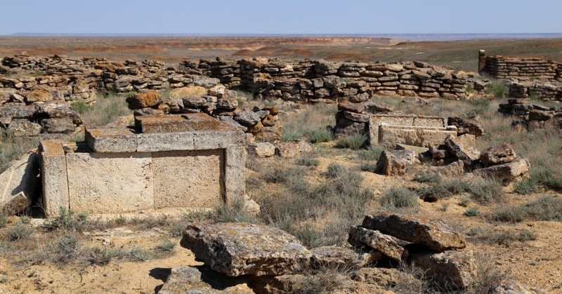
Necropolis of Donyz Tau cliff.
Best travel Kazakhstan.
"What is the history of mankind if not a pre-long story about unrealized designs and unfulfilled hopes?"
S. Johnson.
Tourism in Kazakhstan.
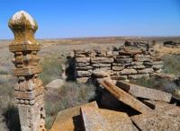
Cliff Donyz Tau can be distinguished as an independent part of the northeastern part of the Ustyurt plateau, at the same time the cliff fits into the boundaries of the Northern Cliff of Ustyurt. Cliff Donyz Tau stretches from the south, from the Shomshikol saline land to the northeast, bypassing the Manaysor saline land and the Saline land Donyz Tau valley, which bends around the Cliff from the west and northwest.
In the eastern part of the Donyz Tau saline land valley, the cliff takes a southeasterly direction and continues to the Kurusai ravine, then stretches to the Ashchibulak well, passing the Aksai ravine in a northeastern direction. From the Ashchibulak well, the Donyz Tau cliff abruptly changes its direction and turns to the north-west, bypassing the Ushashi ravine and north of Cape Chagray it comes into contact with the Shagarai plateau.
Thus, in this direction, the Donyz Tau cliff stretches for 183 kilometers and covers a small part of the Mangistau, Atyrau and Aktobe regions. Within the Atyrau region, the cliff is located for 31 kilometers. The largest part of the Donyz Tau cliff is located in the southern part of the Aktobe region.
Cliff Donyz Tau is a sharp scarp of the Ustyurt stratal plain, with which this plateau breaks off to a vast depression separating Ustyurt from the Shagyrai plateau. The depression is occupied by the saline land of the lower reaches of the Shagan River, including directly along the cliff; a large one stretches more than 72 kilometers in length and up to 7 kilometers in width, the Donyz Tau vallley.
The maximum heights of the plateau are confined to the cliff - Mount Isengach 210 meters above sea level in the central part of the cliff, Mount Barak 203.3 meters above sea level and in the northernmost part of the cliff in the vicinity of Cape Chagrai, an unnamed mountain rises 228.8 meters above the level seas.
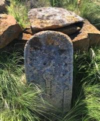
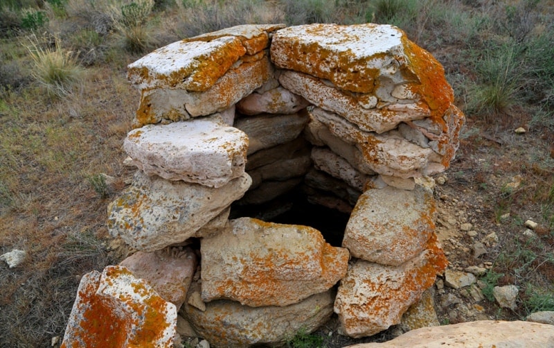
On the valley-saline land Donyz Tau at the foot of the cliff, the minimum for the terrain heights of 13 - 15 meters above sea level are recorded, on the average, the bottom of the depression lies 50 - 90 meters above sea level. Along the entire length, along the edge of the Donyz Tau cliff, more than 25 named necropolises have been counted, the largest of which are Kainar, Tasastay, Taskudyk, Karamola, more than 70 single and more burial grounds, there are also wells, the water from which, unfortunately, left, which was the settlement of localities.
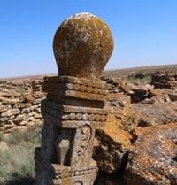
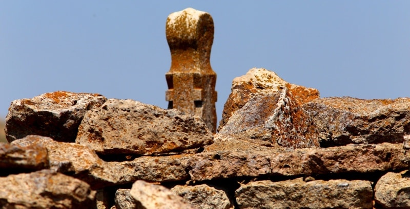
Along the edge of the cliff there is a large number of hunting barriers - arans, through which people got their food. Traditions of stone-cut memorial monuments can be clearly traced in the region of the Northern Cliff of Ustyurt (Dongyz Tau).
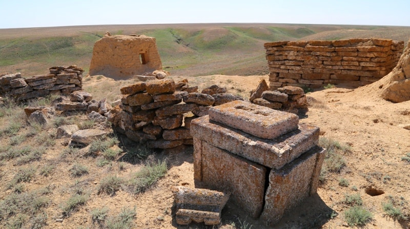
Here, along the banks and slopes of deep sais, there is a group of necropolises of the XIXth - early XXth centuries.
The Mangyshlak-Ustyurt type is attributed to two small beyits in the Kokey area. In general, the Dongyz Tau complexes have characteristic features found in monuments and other, larger, necropolises: Aksai, Ulken Zhybysky, Kishi Zhybysky, Arys-aulka.
Geographic coordinates of central part of Donyz Tau cliff (in the vicinity of Mount Isengach): N46 ° 24'33 "E57 ° 11'56

Authority:
Alexander Petrov.
The article "Architecture of the Aral-Caspian Sea: area, chronology, traditions".
Photos by
Alexander Petrov.