


![]()
You are here
Peak of Sverdlovsk University.
Climbing in Zailiskiy Alatau mountains.
“There is the concept of front-line brotherhood, there is also the concept of mountaineering brotherhood. This is indeed the case. I have a lot of instructor practice. When newcomers begin to leave after a 20-day stay in the alpine camp, they literally leave with tears.
Why? People, being in harsh climatic conditions, united by a common idea, communicate, solve a common problem. Help, mutual assistance, just being together - unites people to such an extent that the phenomenon is called brotherhood.
As in a war, when people united in the most difficult conditions, doing a significant thing, winning, losing, fighting, dying, etc. This is an integral part of mountaineering, it is good, it pleases. I am happy that I know all the people that mountaineering gave me.
That we were united by the idea. Although it was in different years, in different regions, we have not met for a long time, but what was, you cannot throw out your fate."
Sergey Bogomolov.
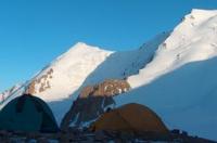
Travel to Left Talgar gorge.
Top of SSU (Sverdlovsk State University) is located at an altitude of 4522 m. a. s. l., located in upper reaches of Turistov River, in Maloalmatinsky spur, on northern slope of Zailiyskiy Alatau ridge, on territory of Ile-Alatau natural park in Medeu district of Almaty.
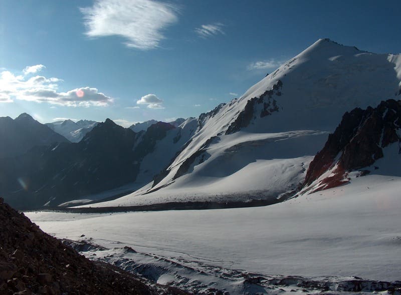
On the northeastern slope of the peak of the Sverdlovsk State University is the Turistov glacier. The Tourist Glacier occupies the northern slope of a lateral spur extending from the Molodaya Gvardiya massif (Big Almaty spur) to the east, deep into the left Talgar depression.
The summit of SSU (Sverdlovsk State University) stands out on this spur. The glacier is a plume type. The summit is located between Dmitriev glaciers in the east and Tourist in the west, in the watershed ridge between the sources of the Turistov rivers and further Levy Talgar and Kyzylsay and further Big Almaty.
The ridge stretches from west to northeast and east for 11 kilometers. Its western part begins at an altitude of 3307 m. a. s. l. near the confluence of the Ozernaya and Kyzylsay rivers. The eastern part ends at the mouth of the Tourist River with tributaries originating from the Toguzak and Constitution glaciers at an altitude of 2937 m. a. s. l.
The ridge contains the main peaks of the Young Guard 4398.3 m. a. s. l., the Soviet climbers and SSU (Sverdlovsk State University). From the Tourist Pass, which is located at an altitude of 4039 m. a. s. l., a majestic panorama of the ridge opens up. Individual ascents and traverses of the peaks also begin from here.
Geographic coordinates of the summit of SSU (Sverdlovsk State University): N43°00'55 E77°06'47
Authority:
Alexander Petrov
Photos by
Sergei Mikhalkov, Almaty city.