


![]()
You are here
Peninsula Tyub-Karagan.
Nature of Mangyshlak
“The northeastern shores of the Caspian Sea have never been overlooked with the attention they deserve in their geographical position. Very few of the sailors, and then in passing, looked into these deserted places. Not a single naturalist has visited the shores included between Guryev and Old Mangyshlak for more than 900 miles. The space is great, and all the more important because it belongs to the lands that serve as the key to our future trade and political ties with Central Asia. Although a closer inspection of the country gives little hope for direct economic settlements or colonies, but in terms of military and commercial, it can but all justice gain the attention of the government!"
G. S. Karelin.
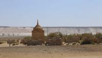
Places of interest of Mangyshlak.
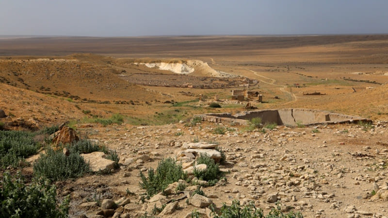
Tyub-Karagan peninsula is located at the western tip of the Mangyshlak peninsula, the eastern border of the peninsula runs from the southwest, from the Saura valley to the northeast to the eastern tip of the Sarytash Bay in the Tyupkaragan district of the Mangystau region.
The peninsula is a plateau cut by ravines, mountains rise in places in the depths of the peninsula. In 1716 Alexander Bekovich-Cherkassky founded a fortress. In 1846, an expedition arrived here under the command of Colonel of the General Staff M.M. Ivanin, who founded the Novopetrovsk fortification, which provided protection for the Turkmens from the devastating raids of neighboring feudal states.
The construction of the fortress contributed to the expansion of Russia's trade with the coastal population of Mangyshlak.
From the eastern border to the eastern coast, the length of the peninsula is 66 kilometers, the maximum width from the village of Kyzylozen on the southern coast of the peninsula to Cape Zhygylgan is 45 kilometers.
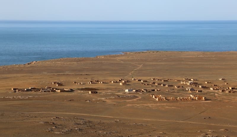
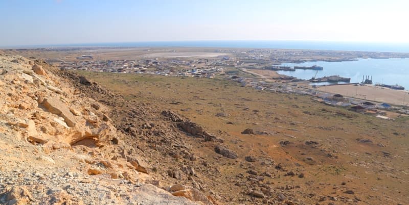
In the west, Mangyshlak deeply protrudes into the Caspian Sea by the Tyub-Karagan peninsula with a fairly leveled surface of the Neogene plateau. In the western part of the Tyub-Karagan peninsula is the city of Fort Shevchenko and to the north of it is the village and port of Bautino.
From the west, the peninsula is washed by the waters of the Tyub-Karagan Bay, from the northeast - by the waters of the Sarytash Bay.
Geographic coordinates of Tyub-Karagan peninsula: N44 ° 26'32 "E50 ° 41'02


Authority
http://www.caspianmonitoring.ru/
Photos by:
Alexander Petrov.