


![]()
You are here
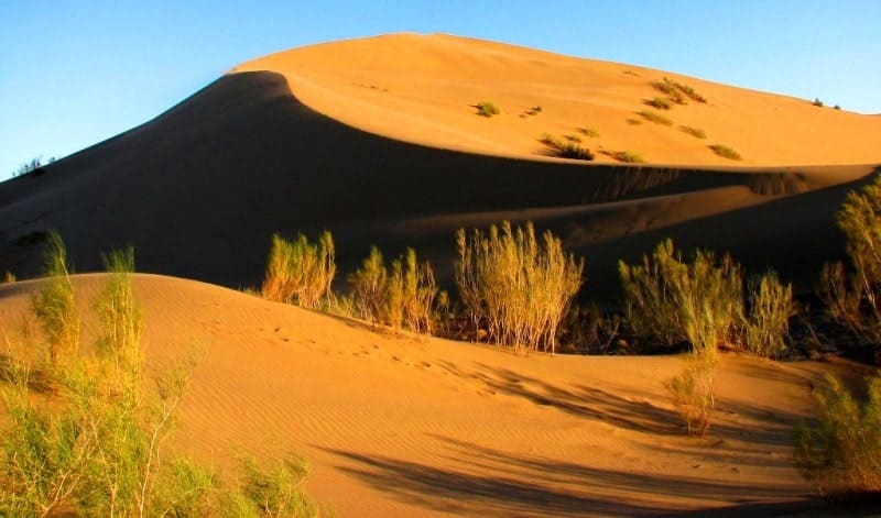
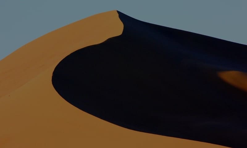
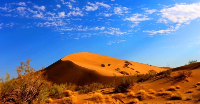
Sandy Mountains Akkum-Kalkan.

Tourism in park Altyn-Emel.
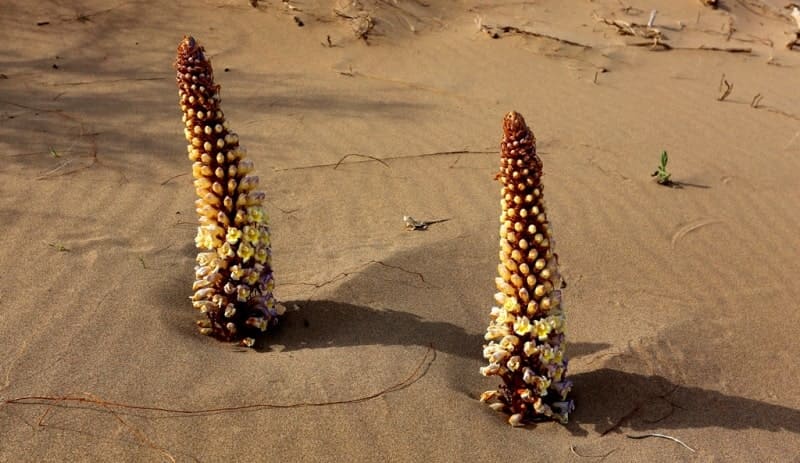
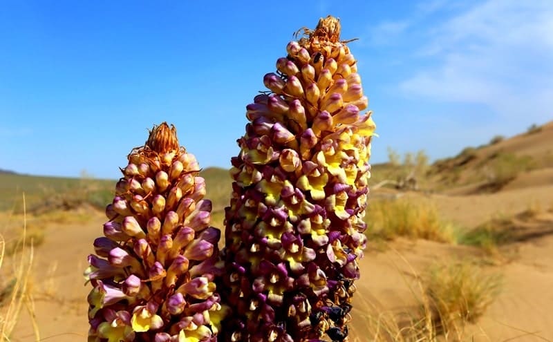
“My companions and I walked for a long time along this sand, and it sounded under the feet of each of us. It was a kind of music ... In places, under a loose sand, a crude layer of oolite was found. In these places the sounds became the strongest and easiest to be made with the foot”
Miller. Germany.
Guide to park Altyn-Emel.
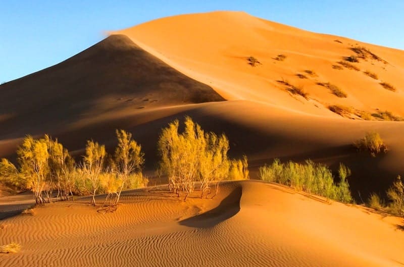
Akkum-Kalkan Sand Mountains are located at an altitude of 580.5 m. a. s. l. in north to 667.4 m. a. s. l.in north. They are located south of Kokbastau tract, 1 kilometer from right bank of Ili River, 10.2 kilometers southeast of Mynbulak cordon, 32.5 kilometers southwest of village of Basshy, within Altyn-Emel Nature Park in Kerbulak district of Zhetysu region.
Akkum-Kalkan Sand Mountains cover an area of 6.46 square kilometers. The sand massif consists of three parts: the northwestern, western, northern, and southern ridges. The northern ridge of Akkum-Kalkan extends for 1.5 kilometers, the northwestern ridge stretches for 552 meters, the western ridge is the shortest at 274 meters, and the southern ridge is the longest at 1.9 kilometers.
The southern ridge, in its central part, reaches an altitude of 667.4 m. a. s. l., making it the highest. The sand massif is located between mountains: Kysty-Kalkan in the west, with a dominant elevation of 956.8 m. a. s. l, and Ulken-Kalkan in the east, with a highest elevation of 1,281 m. a. s. l.
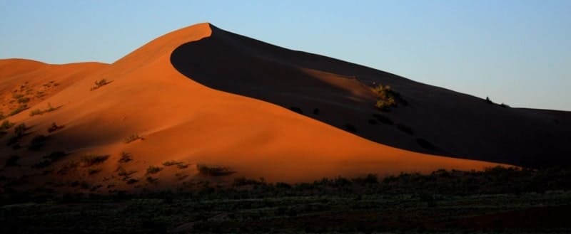
The Singing Pesky (Singing Pesky) tract, or Akkum-Kalkan Sand Mountains, is located 149 kilometers northeast of Almaty. The Ulken-Kalkan mountain range forms a shield over the Basshi Depression to the southwest (the word "kalkan" means "shield").
The Akkum-Kalkan sand mountains are part of the Kalkan mountain range, which stretches 23.5 kilometers from west to east, with a maximum width of 9 kilometers. The Akkum-Kalkan sand mountains extend 6.6 kilometers from west to east and are 5.2 kilometers wide from south to north.
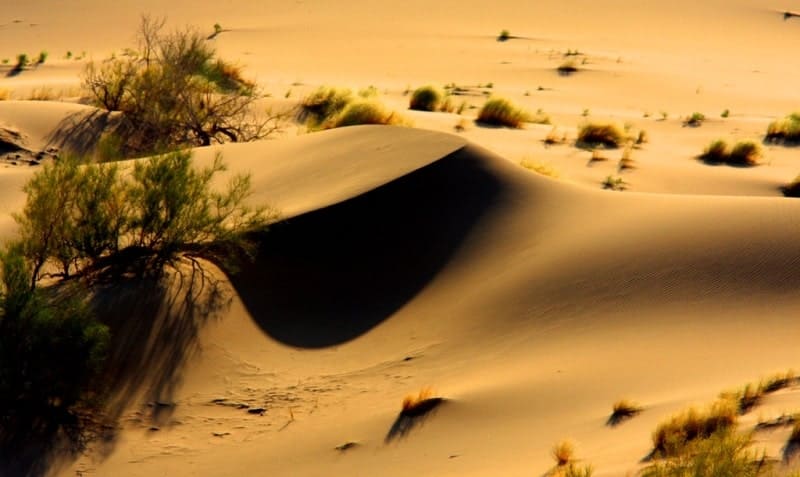
The highest elevation, 667.4 m. a. s. l., is located in the central part of the sand massif. The Ili River flows near the Akkum-Kalkan mountains at an altitude of 477.4 m. a. s. l. Akkum-Kalkan sand mountains are composed entirely of fine quartz sand, with quartz grains 0.3-0.5 millimeters in diameter.
Geographical coordinates of Akkum-Kalkan sand mountains are: N43°52'11 E78°33'49
Authority and photos by:
Alexander Petrov.