


![]()
You are here
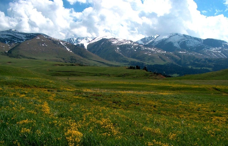
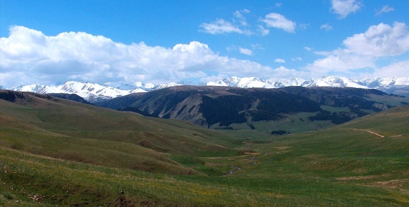
Sary-Tau ridge. Northern Tien-Shan mountains.
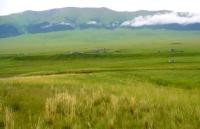
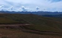
Mountains of Almaty region.
"Mountains are made to show a person what a dream might look like..."
Yuri Vizbor.
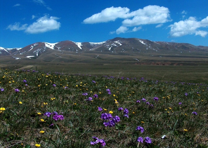
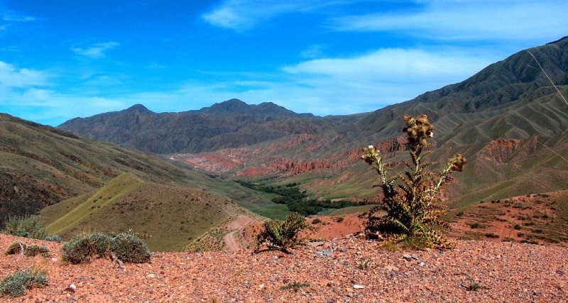
Trip to Almaty region.
The Sary Tau mountain range is located in the eastern part of the Zailiyskiy Alatau ridge and in the north of the Kungei Alatau ridge in the Enbekshikazakh and Kegen districts of the Almaty region. Sary Tau, belonging to the system of the mountainous country of the Northern Tien-Shan, stretches from west to north-east for almost 50 kilometers.
Its greatest width in the eastern part reaches 13 kilometers, in the western part from the northwest to the southeast, the width has advanced by 16 kilometers. The western border of the ridge is considered to be the eastern end of the Zailiyskiy Alatau ridge, in particular, the Amanzhol pass with a height of 3649 meters above sea level.
The pass is a watershed of the Amanzhol rivers flowing to the south belonging to the Shilik river basin and Kyzylbulak flowing north to the Turgen gorge belonging to the Turgen river basin. The eastern border of the ridge is the western end of the Alabaytal mountains, which gravitates to a decrease, and here the Sary Tau ridge reaches an altitude of 1920.9 meters above sea level.
Thus, it can be seen that the difference in height from west to north-east in the Sary Tau ridge is 1730 meters. The southern border of the ridge is the valley of the Zhinishke River, 63 kilometers long, which flows from west to east and also originates from the eastern side of the Amanzhol pass.
Zhinishke ends its course in the Shilik River near the left-bank village of Algabas. The northern border of the ridge is the upper reaches of the Kyzybulak river, the southern part of the Asy plateau in its central part and the Asy river valley in the northeast.
The dominant height in the west of the ridge is an unnamed peak 3550.9 meters above sea level, followed by Karagyz peak 3454.4 meters above sea level. Further, the peak of Sary Tau is 3230.1 meters high above sea level.
In the eastern part of the ridge, there is the Zhambas peak, 3294.4 meters high above sea level, the peak is composed of granite outliers up to 14 meters high. There are several passes in the ridge, the easternmost Batyrma pass with a height of 2359.3 meters above sea level, located on the border of the Sary Tau and Alabaytal mountains.
The most popular pass for motorists is Kyzylauz with a height of 3077 meters above sea level, which will lead from the valley of the Zhinishke River to the Asy plateau. Further in the west there are Karasha passes with a height of 3258.3 meters above sea level and next to it, in the northwest, the Issykasu pass with a height of 3253.7 meters above sea level.
The Karasha pass is located in the main ridge of the Sary Tau ridge, and the Issykasu pass is separated by a plateau-like elevation, which in turn is the watershed of the rivers of the basins - Zhinishke and Turgen.
The hydrology of the southern slope of the Sary Tau ridge is very developed; they all belong to the basin of the Zhinishke River.
Geographic coordinates of the Sary Tau mountain range: N43 ° 16'48.02 "E78 ° 15'58.51"


Authority and photos by
Alexander Petrov.