You are here
Climbing tour in Tien-Shan mountains.
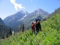
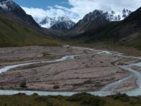
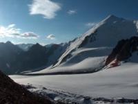
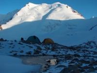
Mountain hiking in mountains in vicinities of Almaty.
“Why do you go away? So that you can come back. So that you can see the place you came from with new eyes and extra colors. And the people there see you differently, too. Coming back to where you started is not the same as never leaving”
Terry Pratchett. “A Hat Full of Sky”.
Geographical location in mountains Zailiski Ala-Tau. Northern Tien-Shan stretches from west to east for 400 km. It is divided into two ranges – Zailiski Alatau (“the first range behind Ili river”) and Kungei Alatau (“bright snowy mountains faced to the sun”). Zailiski Alatau is 280 km long and up to 60 km wide. Its northern slopes belong to South-Eastern part of Kazakhstan. Kungei Alatau (275 km long and up to 31 km wide) is situated completely in Kyrgyzstan.
The highest point of Kungey Alatau is Chaktal peak 4771 meters above sea level and of Zailiski Alatau - Talgar peak 5017 meters above sea level.All this mountain system belongs to Chiliko-Keminski mountain junction. The highest part of the ridge is situated between Kastek 2825 meters above sea level in the west and Amanjol 3510 meters above sea level passes in the east. It is about 180 km long. The biggest glaciers: Korzhenevskogo, Bogatyr, Shokalskogo, Tuyk-Su, Djangaryk.
Climate in the region in mountains Zailiyskiy of Ala-Tau. Climate is continental. It is effected by relief, high-altitude zoning, presence of Issyk-Kul lake. Max average temperature in July is + 18°C at 3600 m. Average monthly temperature at the coast in July is + 16,5°C, in August + 16,9°C. If summer is not hot, weather is mostly cloudless.
Temperature in mountains Zailiyskiy of Ala-Tau. The coldest months are January and February with average monthly temperature from – 17°C to – 24°C. Temperature in the high mountain hollows is from – 14°C to - 17°C. The warmest month is July with average monthly temperature from + 14°C to + 22°C. In July at heights of 1000 - 1500 m temperature may reach – 0°C. In the high-altitude regions temperature falls by 0,6°C per every 100 m.
Sunny days in mountains Zailiyskiy of Ala-Tau. The most favorable are summer months. In July there are about 17 sunny days in region of our safari program, in September no more than 14. At the bottoms of deep valleys, within the forest line max number of favorable days in August and September is about 17. Nights in summer in forest zone are not freezing
Winds in mountains Zailijskiy of Ala-Tau. In Summer, in the mountains winds are mountain-valley. Wind speed is not high, it rises in the morning.
Precipitation in mountains Zailiyskiy of Ala-Tau. In Summer precipitation reach 2200 mm. At height of 2600 m snow lays in the third decade of August. When it is raining clouds are low, cover the peaks and passes. In July and August precipitation reach 90 mm. Precipitation increases with the height in the mountains from 433 to 633 mm per year. Max precipitation is in July. Southern slopes get 2 times less precipitation than northern ones. Precipitation rises from west to east from 119 mm to 538 mm.
Route and difficulties – no difficulties. Any healthy person can join this program.
The brief description of a route of a mountain hiking in mountains Zailiiskiy of Ala-Tau:
Almaty - a valley Medeo - ski resort «Shymbulak» - pass Big Talgar - the Alpine rose glade - a glacier of Tourists - pass of Tourists - lake Big Almaty - Almaty.
Hiking: 41 km.
Distance of route: 89 km.
Season: from 10 of July to 10 of September.
The best time for travel: from July, 15th till August, 30th.
Group size: no more than 12 pax.
Duration of the trekking: 4 days, 3 nights.
The detailed program of round day after day on natural sights of gorges Left Talgar and Big Almaty:
Rock-climbing tour in Kazakhstan.
1 Day. Almaty - a ski resort «Shymbulak» 2200 meters above sea level - pass Big Talgar 3163 meters above sea level - pass Small Talgar 3100 meters above sea level - the river Left Talgar 2250 meters above sea level - a glade the Alpine Rose – Alpine rose a glade of 2722 meters above sea level (31 km).
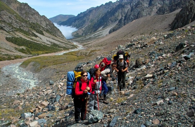
Transfer Almaty – valley «Medeo» (14 km). Rise on cable way on pass Big Talgar. If the third site cable way will not work, rise on cable way can be make only up to «20-th stand-by», there from hiking on pass (7,5 km). The beginning of a campaign in mountains Zailiiskiy of Ala-Tau Northern Tien-Shan. Hiking: pass Big Talgar - a glade Alpine rose (9 km, 4 - 5 hours). After rise, on cable way, we go down on a track, through pass Small Talgar in gorge Left Talgar, we pass small lake and we go down to the river.
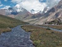
From a saddle of pass Big Talgar on the east the good kind on a valley of the river Left Talgar opens, the bottom part of gorge turns on northeast, and the top part of gorge turns on a southeast. The panorama on the south opens to us - glacier Bogdanovitch. It is well visible from here Tchkalov's peak and the Fizkulturnik (Athlete). On pass there is a complex of constructions cable way, one cable way goes down downwards to pass Small Talgar.
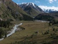
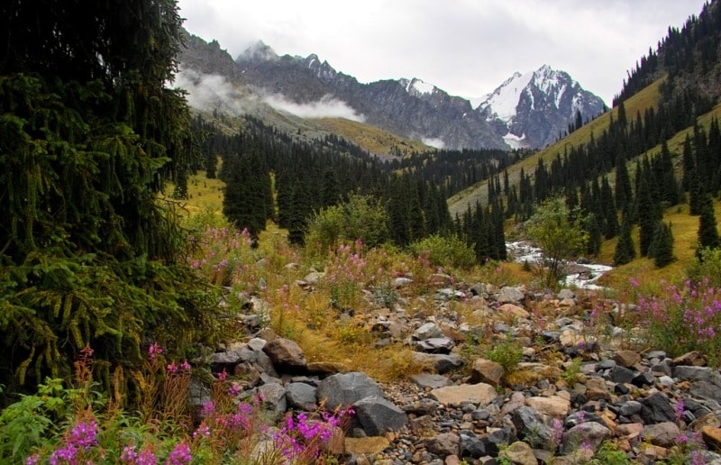
On the east from pass the good track leaves. Through fifteen - twenty minutes hiking we shall be at stream Sauruk-Sai which follows from bottom moraine glacier Bogdanovitch. On a good track we rise on downturn in the small ridge which has stretched from the east on the West, it is pass Small Talgar. Approximately in an hour we leave on a slope among Tien-Shan fur-trees to the river.
2 Day. Glade the Alpine rose - the Solar glade of 2722 meters above sea level - confluence of Tourists and Left Talgar of 2836 meters above sea level (9 km, 4 - 5 hours).
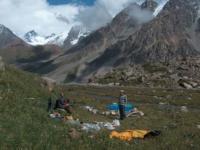
Breakfast. Hiking: A Alpine rose - confluence of Tourists and the Left Talgar (9 km). After a lodging for the night on a glade the Alpine rose, our way lies up the gorge. The zone of the wood ended and we are surrounded by steep slopes and snow-covered peaks of mountains. We pass the Solar glade and the track goes further to the South, on the left river bank the Left Talgar. Lunch in way. Dinner and overnight on confluence of Tourists and the Left Tlagar in tents.
3 Day. Confluence of Tourists and the Left Talgar - a glacier of Tourists - the pass of Tourists of 4000 meters above sea level - the natural boundary Kyzyl Sai of 3600 meters above sea level - confluence Lake and Turistov of 3120 meters above sea level (14 km).
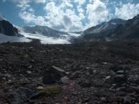
Breakfast. The further way from the camp on confluence of Tourists and the Left Talgar turns on the southwest and lies along the right river bank of Tourists which prevails nachal from a glacier the Tourist. The green grass zakanivatsya soon and our way lies on stones of a moraine of a glacier of Tourists.
After rise on pass, we shall see a magnificent panorama of neighboring mountains, it is the most beautiful part on our travel, the southern ridge of mountains consists of peaks: the Soviet Climbers of 4379 meters above sea level, SGU (Sverdlovsk state university) 4522 meters above sea level, Dzerxhinskyi 4410 meters above sea level. From a place of overnight on the center of the open glacier of Tourists we rise on pass of Tourists.
From pass the panorama on surrounding peaks Zailiskyi of Ala-Tau - peak of Young Guards of 4394 meters above sea level, Sovetov of 4317 meters above sea level, the Locomotive of 4128 meters above sea level, Pogrebeskyi 4231 meters above sea level, Tuyk-Su 4218 meters above sea level, Ozernay 4126 meters above sea level opens. From a saddle of pass we make radial walk on one of peaks of horseshoe Tuyk-Su, the magnificent kind on gorge Small Almaty whence opens.
A lunch in a way. Descent from the pass abrupt, but, not difficult, on the West along a stream of Tourists in the valley Kyzylsay. Further on the old abandoned highway we come to confluence of Tourists and Lake. Dinner and overnight in tents.
4 day. Confluence of Tourists and Ozernaya - the lake Big Almaty of 2527 meters above sea level - Almaty (37 km).
Breakfast. Hiking: Confluence of Tourists and Ozernay - the lake Big Almaty (9 km, 4 hours). A lunch in way. From green lawns on confluence Ozernay and Turistov on the old highway we go down to the lake. The end of a mountain travel in mountains of Northern Tien Shan. Moving to Almaty (28 km).
The price programs of a mountain hiking “Left Talgar and Big Almaty lake” (in $ USA) on 1 person:
1 person - 1290
2 persons - 718
3 persons - 615
4 persons - 550
5 persons - 491
6 persons - 478
7 persons - 453
8 person - 440
9 person - 415
10 + 1 - 400
The price includes of the program of a mountain campaign “The Left Talgar and Big Almaty lake”:
Visa support in Kazakhstan.
All transfers under the program.
Full board in a hiking (two breakfasts, three dinners and three suppers).
Transportation of personal clothes by porters (at most 15 kg of personal belongings the porter besplaatno transports the tourist's things).
Accommodation in double tents.
Services of the translator and the guide.
Entrance and ecological payments.
Sanctions in special zones.
Consultations of the guide.
Mineral water on transfers.
The price doesn’t include of the program of a mountain campaign “The Left Talgar and Big Almaty lake”:
The cost of Kazakh visa.
All optional deviations from the main itinerary.
Beverages and meals not included in main menu.
All personal expenses (medical expenses/insurance, etc.).
The rent of individual equipment.
Tip, additional excursions not include into the program of round.
Alcoholic drinks.
Additional payment for single tents accommodation - 35 p\p
Additional information:
* Porters carry 15 kg of the personal luggage of the certain tourist.
Note:
The Program is Alexander Petrov author program. Copying and introduction - from the sanction of the author petrovsra@mail.ru
Alexander Petrov and Sergey Mikhalkov.
photos.


