You are here
Gorge Kim-Asar.
Tours to Zailiskiy Ala-Tau Almaty.
"The mountains hid their heads in the ground,
Having embraced them with the arms of the roads,
Dark backs with white spots,
Like fat lazy cows"
Yuri Kukin. "Well, let's eat...". 1966.
Hiking to Small Almaty gorge.
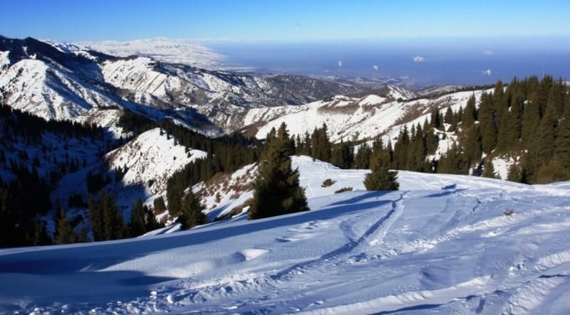
Kim Asar Gorge (Kazakh: "Whoever overcomes, crosses"), is located at an altitude of 3260 to 1719 meters above sea level, is located on western slope of Maloalmatinsky Gorge, on northern slope of Zailiysky Alatau ridge, in Medeu district of Almaty.
Kim Asar Gorge is the second longest gorge in the valley of the main Maloalmatinsky, almost 6 kilometers long. From the east, the gorge is bordered by the river and the Left Talgar gorge, from the western side by the main Maloalmatinsky gorge, along which the road from Almaty to the T-1 tract passes.
In the area of the Medeo skating rink, the Kim Asar gorge adjoins the Maloalmatinskoye gorge on the eastern side. The river of the same name flows through the Kim Asar gorge, being the right tributary of the Malaya Almatinka River. The length of the river is 6 kilometers, the catchment area reaches 7.65 square kilometers.
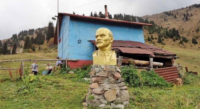
The main tributary of the river is the Left Ortaksai, which originates from the springs of the northern slope of Mount Medeu, 2861 meters above sea level. The name of the gorge recalls the stay in our city in 1920 of Dmitry Ivanovich Furmanov, the legendary commissar of the 25th division of V.I. Chapaev.
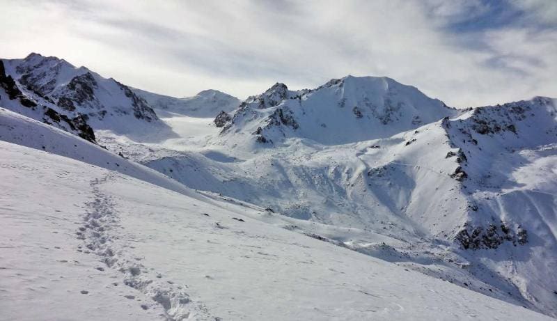
In the upper reaches of the Kim Asar gorge, one of the most visited peaks is located - Furmanovka, 3053 meters above sea level. What is characteristic is that on the topographic map, the river in the Kim Asar gorge is marked as Komissarovka.
At the mouth of the gorge there are water treatment facilities of the Gorvodokanal organization. The eastern part of Almaty is fed by the waters of the Malaya Almatinka River after purification. Above the station, after 1.3 km, the gorge forks.
At the fork there is a gamekeeper's cordon. From it down the gorge to the water treatment station there is a terrain cure. A badly damaged asphalt road goes to the cordon. Further on there are only dirt roads. The right gorge leads to the Komissarovsky Pass.
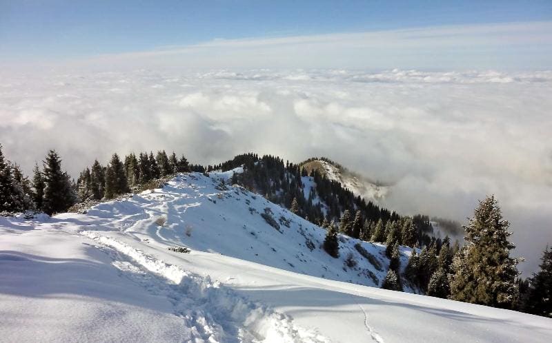
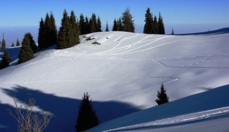
The northwestern slopes of the cordon are densely planted with pine trees. Two concrete bridges are thrown across the left gorge in its lower part. A dirt road runs along the gorge, which leads to the inner valley. This is a convenient place for spending the night and picnics. In the valley until July there are often avalanche cones left over from avalanches that came down in the winter, on which you can safely ride on alpine skis and sleds.
At the end of the road, a trail begins that leads to a small waterfall in the bed of a stream, and then, steeply climbing up the slope, leads to a small plateau at the foot of Furmanovka Hill. In the Kim-Asar Gorge, there are two private ski slopes with T-bar lifts.
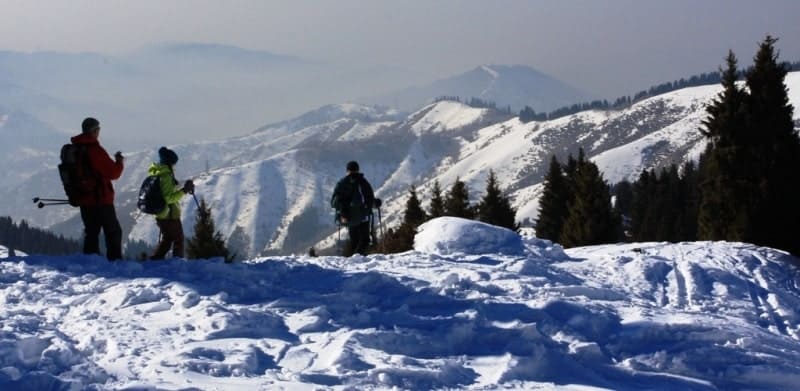
Opposite, on the right-bank slopes of the gorge, there is the Kimasar ski cooperative. You can climb up to this cooperative along the road to the inner valley, and then along the trail climb to the ridge and then move south to a house located at an altitude of 2,700 meters above sea level.
In the vicinity of the private ski trail there are so-called swings, the remains of unknown metal structures, on which a rope for a swing is attached. After the second bridge, you can turn left, climb a low ridge, then along the side gorge, moving along the trail, climb to the same ridge, but only from the north, and then move on as described earlier.
Geographic coordinates of Kim Asar gorge: N43°09'37 E77°05'16


Auhority:
Alexander Petrov.
http://almatyregion-tour.kz
Photos by:
Alexander Petrov and Sergey Mikhalkov.


