You are here
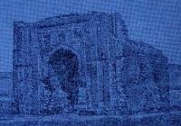
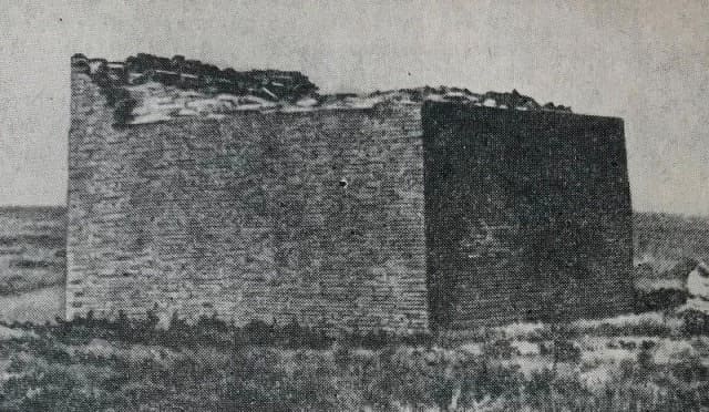
Mausoleum of Ayakkamyr.

Architectural Monuments Ulytau.
“If an ancient man saw planes two thousand years ago
He would've thought they were birds
Or angels from another world
Or messengers from other planets”
Dejan Stojanovic.
Historical sights of Ulytau.
Ayakkamyr mausoleum is located on the right (southern) bank of the Zhezda River, on the southern side of the Karabulak tract, 635 meters from the mouth of the Karabulak stream, 7.1 kilometers northwest of the village of Zhezdy, 337 meters to the north-east of the Ayakkamyr ancient settlement and 63.6 kilometers northwest of the town of Zhezkazgan in Ulytau district of Ulytau region.
The monument is built of burnt bricks. According to A.Kh. Margulan's assumption, the mausoleum was built as the tomb of the Chingizid Kutlug-Temir. The mausoleum consists of a square shape, with sides 50 meters long, surrounded by an earthen rampart 1 meters high.
The mausoleum is surrounded by a late medieval necropolis.
Geographic coordinates of Ayakkamyr mausoleum: N48 ° 06'50.12 "E66 ° 59'22.53"

Authority:
"Archaeological map of Kazakhstan." Alma-Ata, 1960. No. 937, table III, 16.21. Akishev K.A. "Antiquities of Northern Kazakhstan." “Proceedings of the Institute of History, Archeology and Ethnography” T.7. Archeology. Alma-Ata, 1959. p. 9, fig. 4-5, tab. I. Margulan A.Kh. "The remains of settled settlements in Central Kazakhstan." "Medieval hillforts and settlements." Zhezkazgan, 1996.111 s. www. tengrifund.ru


