


![]()
Вы здесь
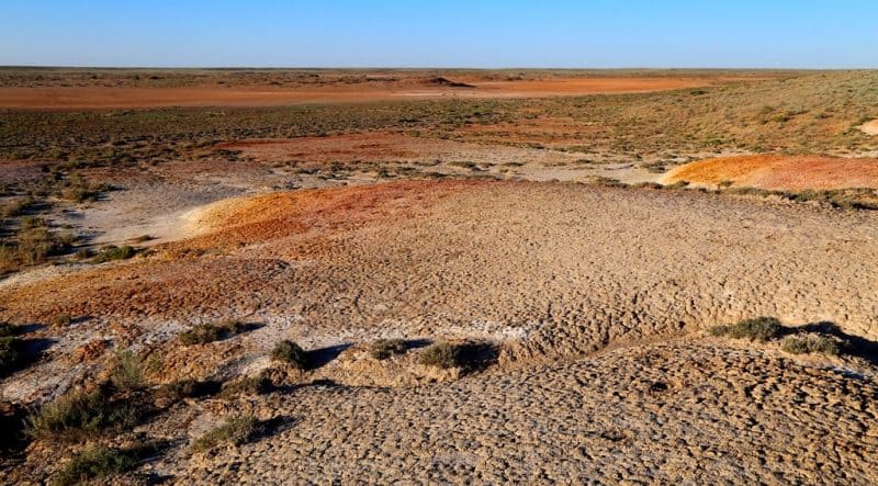
Semi-deserts of Central Kazakhstan.
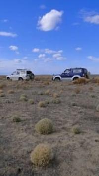
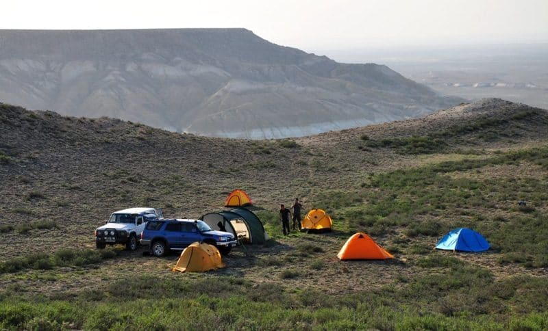
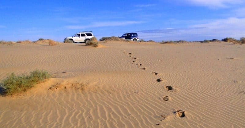
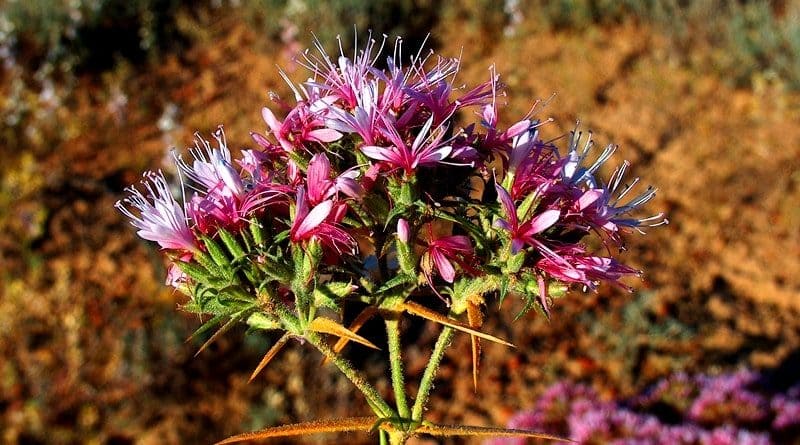
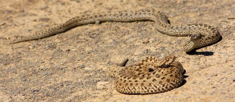
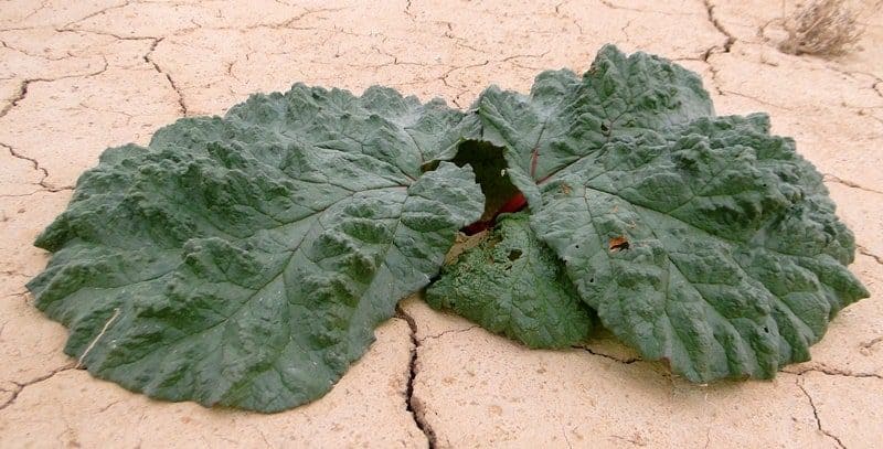
Photos of deserts of Kazakhstan.
"The deserted, waterless steppes of Central Asia can only be inhabited by nomadic, pastoral peoples. Their physical nature, customs and morals have developed here, and no one is able to compete with them in the ability to use the meager benefits of nature that the desert is endowed with."
A. M. Nikolsky. "Journey to Lake Balkhash and the Semirechye Region." 1885.
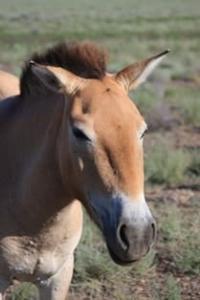
Bird-watching in Central Kazakhstan.
Southern, more branched part of Turgai plateau and most of southern Kazakh uplands are a semi-desert zone, with exception of southernmost territories. At the northern border, along the Turgai hollow, this zone smoothly turns into a steppe zone, which is explained by the presence of saline Paleogene rocks in this area.
In comparison with the steppe zone, the semi-desert is characterized by a higher level of solar radiation and less precipitation. These conditions contribute to an increase in temperatures, especially in summer, increased evaporation and a significant moisture deficit.
The climate becomes even more continental: severe winters (the average January temperature is -16 ° C, and in some places frosts reach -40 ° C) are replaced by hot summers, when the temperature varies from 23 - 26 ° C in the west to 18 - 23 ° C in the east.
The annual precipitation in the semi-desert zone is only 200-225 mm, and in some areas reaches 250-275 mm. The bulk of the precipitation falls in May. The summer period here is characterized by extreme heat and dryness, which intensifies the processes of physical destruction of rocks and has a significant impact on the formation of soils and vegetation.
In winter, there is an extremely small amount of precipitation, which causes a small thickness of snow cover - about 20 cm, much less than in the steppe zone. The soil freezes in winter. Geographically, the semi-desert is located south of the axis of the winter Asian anticyclone.
This determines the predominance of north-east winds in winter, which are distinguished by their high strength. These winds redistribute the snow cover, blowing it off the hills and concentrating it in depressions in the relief, such as ravines and valleys.
In spring, this moisture is washed into the rivers, making winter precipitation virtually inaccessible to plants and soil, exacerbating the overall moisture deficit. The warm season in the semi-desert zone is also characterized by strong winds, which significantly affect the climatic and ecological conditions of the region.
Semi-deserts belong to the Central Asian region of internal runoff, where the main rivers, such as Turgai, Sarysu, Bakanas and Ayaguz, have hydrological characteristics similar to those of the steppe zone. However, their runoff is less abundant, and seasonal drying and salinization processes are even more pronounced.
Most lakes in this zone have highly mineralized water, especially on the Turgai Plateau. The hydrogeological conditions here resemble the steppe, but groundwater, as a rule, has a higher degree of salinity. This is especially characteristic of formation waters on the Turgai Plateau, where salinization is associated with the presence of gypsum-bearing and saline Paleogene clays.
The vegetation cover of the semi-desert differs significantly from the steppe. It is less diverse, with sparse grass and low plant height. It is mainly represented by drought-resistant perennials, such as fescue and wormwood. Salsola spp., plants adapted to high salt concentrations in the soil, predominate on the saline soils of the semi-desert zone.
Among the herbaceous plants, there are ephemerals and ephemeroids, such as bluegrass and tulips, which manage to complete their life cycle in the short wet season of spring and early summer. This period is characterized by active plant growth due to the presence of moisture in the soil.
However, in the second half of summer, due to dry conditions, most of the vegetation dries out. The semi-desert zone is characterized by a complex combination of soil and vegetation. In relatively small areas, areas with typical steppe sod-grass communities and desert plants, such as wormwood and saltwort, alternate.
This complexity is due to the diversity of microclimatic conditions and the characteristics of soil-forming processes. The basis of the soil cover is light chestnut soils containing 2 - 3% humus. These soils have low salinity and increased alkalinity.
They have carbonate already on the surface, which indicates the presence of lime. Such soils are suitable for agricultural use, provided that irrigation is organized. Soils of the semi-desert zone are mainly carbonate, with carbonates already on the surface.
Easily soluble salts are absent within a meter from the surface, which makes these soils relatively favorable for agriculture. With irrigation, light chestnut soils can be used to grow various crops without the need for preliminary melioration. Fescue-wormwood plant communities are formed on these soils.
Among them, white and sublessing wormwood predominate, which are adapted to dry conditions. Feather grasses such as tyrsik, tyrsa and feather grass are also common, giving a characteristic appearance to this zone. In the southern part of the semi-desert, species such as pycnose and chaste tree play a special role in the vegetation cover, which are an important part of the local flora.
In the Kazakh small hills, light chestnut soils are formed on the slopes of the hills and are characterized by various physical properties, such as rubble, gravelly and a small soil layer. The vegetation on these soils is sparse and is represented by species such as scaly-leaved wormwood and sublessing wormwood.
Cold wormwood dominates in rocky areas, and eastern feather grass (Stipa orientalis) is also found. Light chestnut soils often form complexes with solonetzic soils and solonetz. This soil complex is associated with saline rocks, which are common in river valleys, lake basins and hill lowlands.
In solonetzic soils, a dense solonetzic horizon is found at a depth of about 60-80 cm, under which readily soluble salts appear. This complicates their use in agriculture without melioration measures. These soils are potentially suitable for agricultural use, provided that irrigation is organized.
However, in some cases, specialized melioration measures may be required to remove the solonetzic horizon and improve the soil structure. Among them, crusty and solonchakous solonetzes are widespread. Solonchakous solonetzes contain water-soluble salts at a shallow depth, which limits their fertility.
Crustacean solonetzes are home to salinity-resistant plants such as black wormwood, Anabasis salsa, and kokpek (Atriplex cana), which have deep roots that can penetrate the dense solonetzic horizon. The gravelly saline soils are sometimes populated by tasbiyurgun (Nanophyton erinaceum), and the salt marshes are dominated by succulent stem saltworts.
In river valleys and lake basins, meadow soils are formed, mainly saline, where meadow vegetation is widespread with species such as chyi (Lasiagrostis splendens), azhrek (Aeluropus litoralis), and beskol'nitsa (Puccinellia distans). This vegetation ensures the stability of the ecosystem and can prevent soil erosion.
On small hills of the semi-desert zone, where the amount of precipitation reaches 250-275 mm per year, a pronounced altitudinal zonality can be traced. Light chestnut soils here gradually give way to dark chestnut soils, on which wormwood-feather grass communities develop with a predominance of scaly-leaved wormwood and sublessing wormwood.
Here you can also find thickets of shrubs such as spirea, chiliga and rose hips. On the southern edge of the semi-desert zone, light chestnut soils turn into brown desert-steppe soils, which are then replaced by gray-brown low-carbonate soils of clay wormwood and saltwort-wormwood deserts, typical of the northern desert zone.
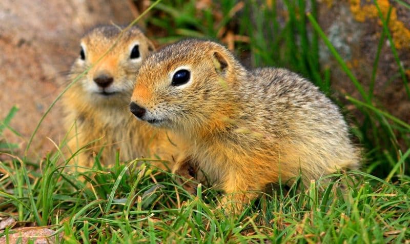
The fauna of the semi-desert zone is diverse. Here you can find not only steppe species of animals, but also typical representatives of desert ecosystems, such as desert jerboas and various reptiles. In some low-mountain areas of the Kazakh Uplands, where pine forests are widespread, on the border of the semi-desert you can meet representatives of the forest fauna, such as the red-backed vole.
These features of the ecosystem of the semi-desert zone demonstrate the significant influence of climatic and geographical conditions, which form unique biotopes with characteristic plant and animal communities. In the low-mountain areas of the semi-desert zone, there are species characteristic of higher mountain areas.
Such representatives of the fauna include the Streltsov's vole, the argali mountain sheep and the Mongolian pika. Among the birds that live in these places, the Central Asian Buchanan's bunting, the pied rock thrush, the Mongolian finch and the mountain redpoll stand out, which are found on mountain slopes and in rocky areas.
Farming in the semi-desert zone is possible only with artificial irrigation. This is due to the lack of large rivers that could serve as natural sources irrigation. Water resources are limited, and irrigated areas are found mainly near sources with abundant water flows.
In addition, the presence of saline and alkaline soils significantly complicates agricultural development of these territories. In this regard, agriculture is limited to pockets, and the main use of the territory is associated with pastures where cattle are bred.
The low snow cover in the semi-desert zone facilitates winter grazing. During this period, sheep are able to eat even saltworts, which are inedible in summer due to their high salt content. However, in the summer months, grazing is difficult due to a lack of water, which makes grazing land less effective.
Nevertheless, some areas, such as the Sary-Arka "steppes" (in fact, these are not only steppes, but also semi-deserts) in the south and center of the Kazakh Uplands, are used as summer pastures. In winter, cattle are driven through the Betpak-Dala desert to the Moyynkum sands and the Chui valley.
Thus, the semi-desert zone is mainly used for pasture farming. This makes the northern border of the semi-desert an important natural and economic boundary, since it serves as the southern border of non-irrigated agriculture.
Geographical coordinates of Turgai plateau: N51°27'08 E64°12'34
Authority:
N. A. Gvozdetsky, N. I. Mikhaylov. "Physical geography of the USSR. Asian part. The edition third corrected and added. Moscow "Thought" of 1978. http://tapemark.narod.ru/geograf/1_5_5.html
Photos by:
Alexander Petrov.