


![]()
You are here
Lake Derevyannoye in Kazakhstan.

Travel across Almaty to Kyrgyzstan.
“What is that feeling when you're driving away from people and they recede on the plain till you see their specks dispersing? - it's the too-huge world vaulting us, and it's good-bye. But we lean forward to the next crazy venture beneath the skies”
Jack Kerouac, «On the Road».
Greatest travel across Astana.
Flowing, fresh lake Derevyannoye, located at an altitude of 519.2 meters above sea level, is located in Karaeren channel, which is left (western) channel of Charyn River, 8.1 kilometers from the left (eastern) bank of Ile River, 8.3 kilometers north and slightly east of village of Sharyn, 5.5 kilometers northwest of Chundzha-Zharkent highway, in Uyghur district of Almaty region.
The length of the lake from southwest to northeast reaches 1.3 kilometers, the greatest width in the middle part of the lake is 600 meters. The area of the lake is 0.7 square kilometers, the length of the coastline is 4.36 kilometers. The southern and southwestern parts of the lake are heavily swamped.
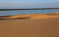
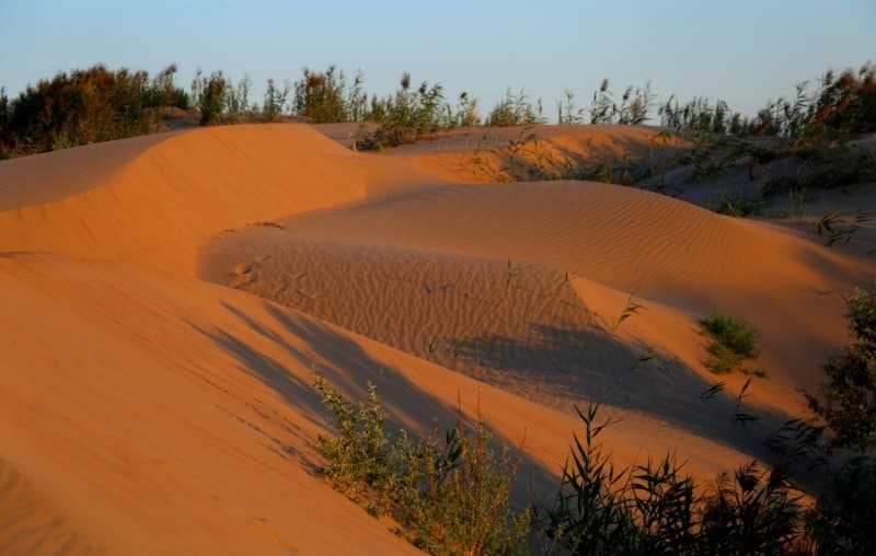
The area of the marshy part of the lake is 0.63 square kilometers. The western and northwestern parts of the lake border the Karabaskum sands. The lake is hidden in the sands and reed thickets, here is a real oasis in the hot desert. The lake was named after the poplars, flooded as a result of the advance of sand dunes, - turanga.
About 15 years ago, there were flooded groves along the northern shore of the lake, and even living trees were preserved. The westernmost branch of the Charyn is supported by sands moving from the Ile River, the trees are in the water, there were many stumps of dead trees.
Hence the name - Wooden. The lake is surrounded from the west and north by the advancing sands of the Karabaskum Desert, which are located to the west of the lake. From the east and south, the lake is surrounded by tugai and turang thickets.
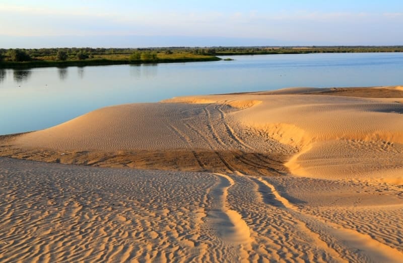
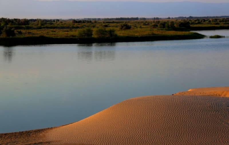
The Karaeren River flows out of the lake and continues on its way to the Ili River. In the vicinity of the lake there are wonderful places for flora and fauna. The shores of the lake are sandy, with magnificent beaches and extensive reeds. From the height of the dunes you can see in the north the magnificent Aktau mountains (White Mountains) located on the opposite bank of the Ili River, on the territory of the State National Natural Park Altyn-Emel.
The water world of the lake is represented by carp, silver carp, grass carp, catfish are found. Apparently, the life of the Wooden Lake is short-lived, the reason for its disappearance will be sand. The desert is advancing on the lake, gradually absorbing it, years will pass and the lake will disappear, leaving numerous dried trunks of trees strangled by sand on the shore.
The lake will revive on another oxbow of the Charyn River and will again fight the advancing desert.
Geographic coordinates of Derevyannoye Lake: N43 ° 50'45 "E79 ° 25'14


Authority:
Nazarchuk M. K. candidate of physiographic sciences. http://almatyregion-tour.kz
Photos by:
Alexander Petrov.