


![]()
You are here
River Gorelnik in Northern Tien-Shan.

Walking routes from Almaty to North Tien-Shan.
“The world is a book and those who do not travel read only one page”
Augustine of Hippo.
Hiking Tours from Almaty to Charyn canyon.
Gorelnik River (Kazakh – Kuigen-Sai) has its source at an altitude of 3,317 meters above sea level, its mouth is at an altitude of 1,892 meters above sea level, located on right (eastern) slope of Maloalmatinsky gorge in Medeu district of Almaty.
The Gorelnik River is one of the most abundant left tributaries of the Malaya Almatinka River, the length of the river is 7.4 kilometers. The catchment area reaches 12 square kilometers. There are 3 moraine lakes in the upper reaches of the river.
The width of the river bed varies from 1.8 to 2 meters, the depth reaches from 0.15 to 0.2 meters. The average long-term, annual water flow is 0.24 cubic meters per second, the flow is all year round. The river is dangerous during mudflows.
The largest mudflows were observed: May 10, 1944 (the mudflow rate was 9.9 cubic meters per second) and May 22, 1951 (the mudflow rate reached 20 cubic meters per second). The river originates on the northern slope of the Zailiyskiy Alatau, has several tributaries with a total length of 4 kilometers.
In the upper reaches, the main channel of the river receives a few tributaries. One of them, the right tributary on which there are two waterfalls, Nizhniy and Verkhniy, originates from the southern slopes of Mount Pribornaya, 3,340 meters above sea level, and from the eastern and southern slopes of Mount Chasovaya, 3,230 meters above sea level.
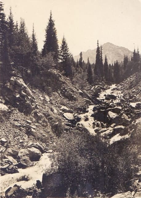
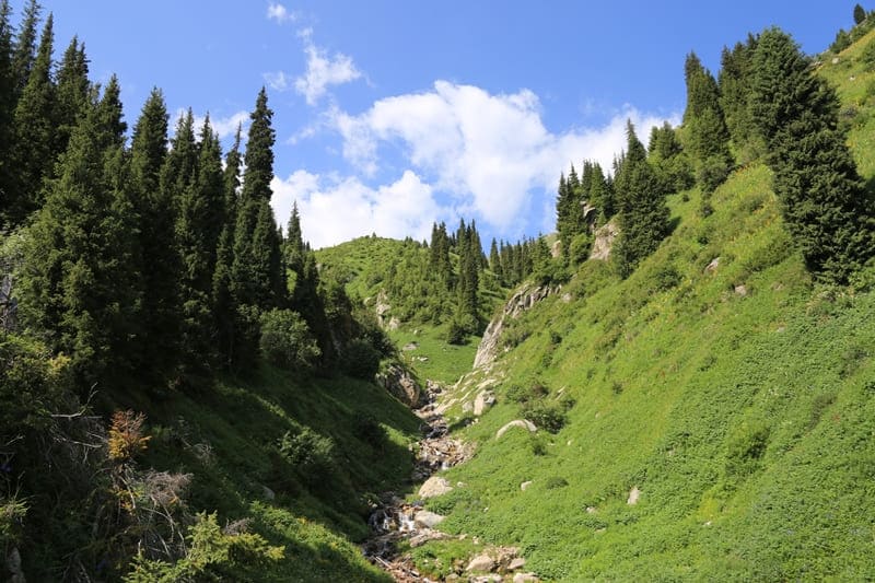
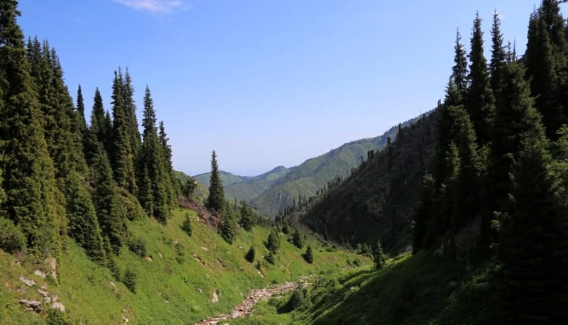
One of the left tributaries flows down the eastern slopes of Mount Kumbel, 3,160 meters above sea level. Over many millennia, the river has carved a deep gorge in a pile of mountains. Steep cliffs of gray granite rise tens of meters on both sides.
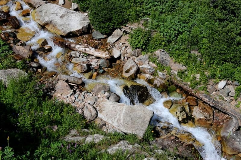
The mountain stream rushes rapidly from stone to stone and with a roar falls down from a height of 10 meters, breaking into a cloud of water dust. The right slope of the river valley is steep (up to 30 °), the height of the slopes is up to 200 meters.
The Gorelnik River Valley has been transformed into a year-round tourist base. 150 meters from the mouth at an altitude of 1910 meters above sea level there is a warm hydrogen sulfide spring. The water has a sulfate-hydrocarbonate, sodium composition.
The left bank is flat, terraced, here is the meteorological station "Upper Gorelnik". 500 meters above the mouth there is a waterfall with a drop of water of about 10 meters. The lower waterfall of the Gorelnik River opens up to tourists in all its splendor, the water streams of which play in the rays of the mountain sun with all the colors of the rainbow.
Geographical coordinates of Gorelnik River: N43 ° 07'43 E77 ° 03'21
Authority:
http://www.kazakhstan-tourist.isd.kz
Alexander Petrov.
Photos by:
Alexander Petrov.