


You are here
Sands Sam on Mangystau.


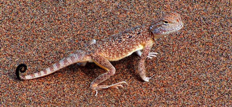
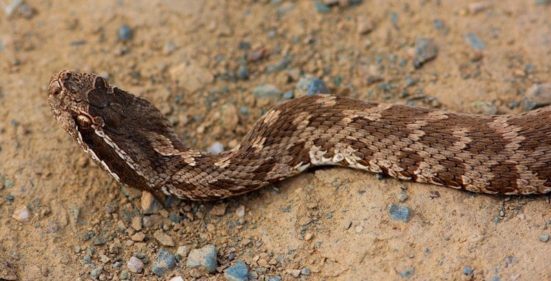
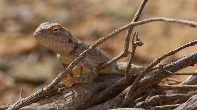
Bird-watching on Mangyshlak.
“Why do you go away? So that you can come back. So that you can see the place you came from with new eyes and extra colors. And the people there see you differently, too. Coming back to where you started is not the same as never leaving”
Terry Pratchett. “A Hat Full of Sky”.
Familiarization tour from Aktau to Atyrau.
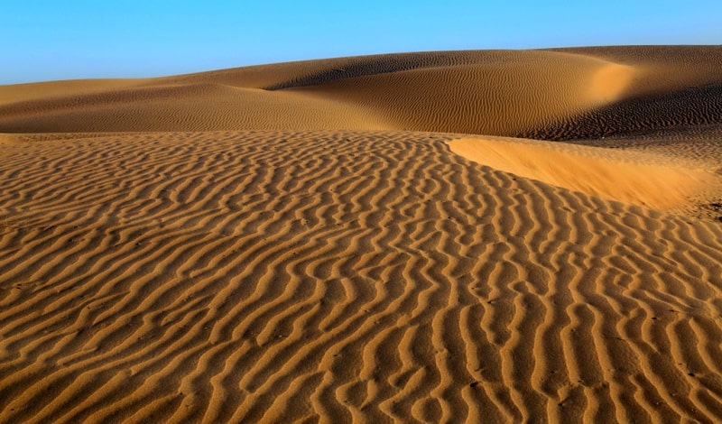
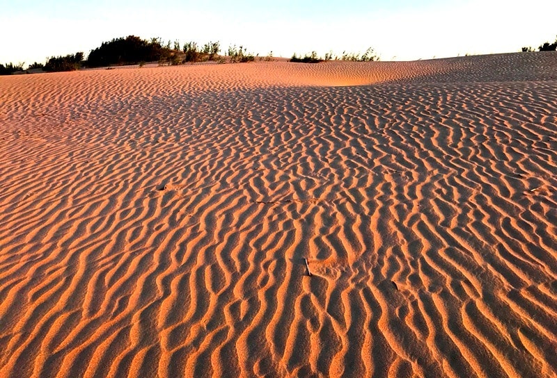
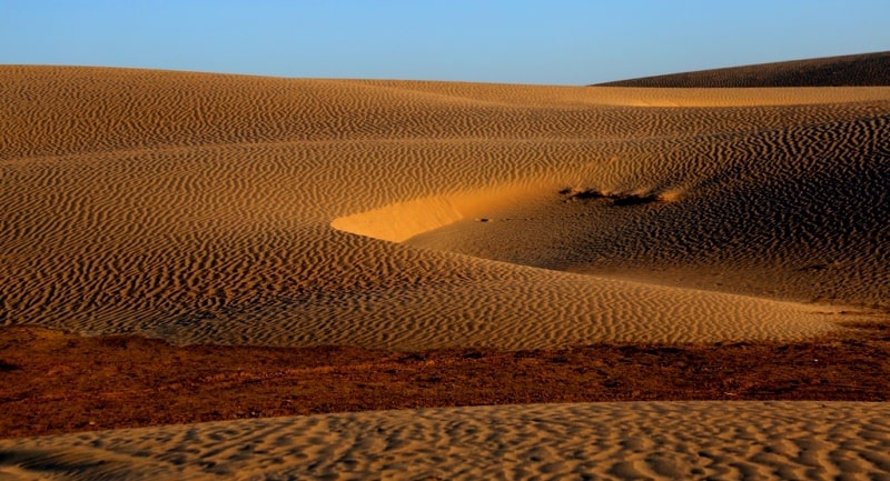
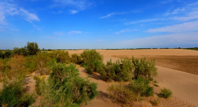
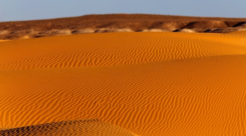
The sands of Sam are located in the Beineu district in the north-eastern part of the Mangystau region. The northern and eastern parts of the sands itself surrounds the saline march itself, which stretches for 45 kilometers in the meridional direction.
The eastern part of the litter itself is located in the Aktobe region. On the northwestern border of the sands is the village of Turysh, which serves as a station for servicing “The Central Asia – Center” gas pipeline.
The sands themselves got the name from several sands scattered throughout 77 kilometers, which have their own names.
So in the eastern part of the border in the Aktobe region located sand Zharkum. To the west of the saline tract of Saparkand are the Shonai Sands, which extend westward to the Karabulak Upland, beyond which the Sorsha Sands begin.
The southernmost part of the sands itself got its name - the Sholkum sands, which in the south border the Zharykkuduk salt marsh. The southern part of the salt marsh Zharykkuduk is located on the territory of the Republic of Uzbekistan, the northern part in Kazakhstan.
The state border between Kazakhstan and Uzbekistan divides the Zharykkuduk salt marsh in half in the meridional direction. In the north-western part there are the sands of Uyaly, which in the south are bounded by the Zharykkuduk salt marsh.
The length of the sands itself from south to north and further to the east is 77 kilometers, the greatest width, 28 kilometers to the south from the village of Turush to the south. By the Sam sand, along the sands of Uyaly and the Sam station, a new railway line runs from the Shalkar railway station located in the Aktobe region to the Beineu station in the Mangystau region.
The length of the railway from the station Shalkar to the station Beyneu is 471 kilometers. From Dzhezkazgan to Beyneu, the length of the railway was 988 kilometers. The construction of the road began in August 2012 and on July 3, 2016, a passenger train No. 377\378 followed Almaty-Mangyshlak.
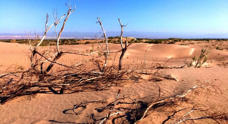
The sands of Sam are represented by hilly and cellular sands fixed by sands, the height of the sand mounds is 5 - 10, the depth of the sand cells is from 3 to 5 meters. In the sands themselves grow a feather grass, comb wheat grass, Zhuzgun, weeds, biyurgun from shrubs in the sands are represented by saxaul.
The geographical coordinates of the central part of the Sam sands: N45 ° 22'21.03 "E56 ° 11'13.23"


Authority and photos
Alexander Petrov.