


![]()
You are here
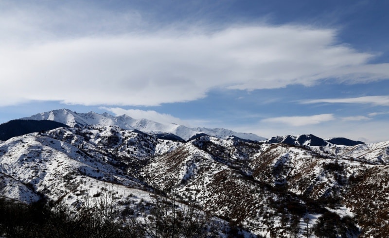
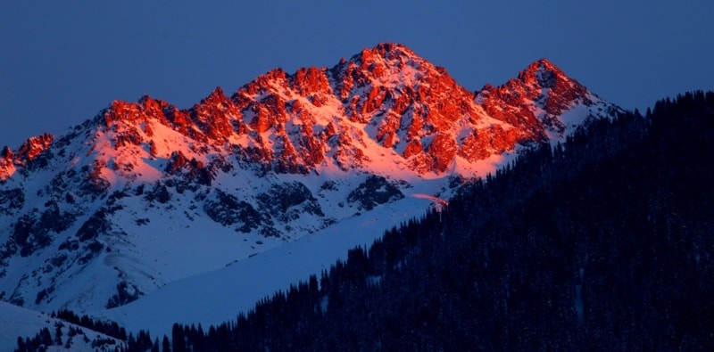
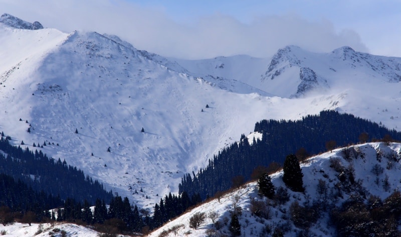
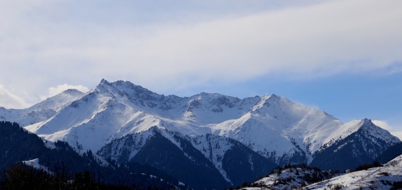
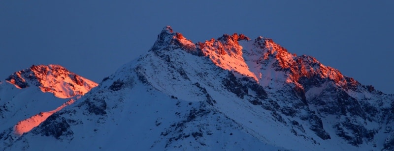
Zailiiskiy Alatau mountains.


Tours in mountains of Zailiyskiy Ala-Tau.
“Nature abhors annihilation”
Marcus Tullius Cicero.
Hiking and trip in Zailiyskiy Ala-Tau.
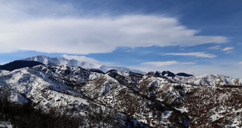
Zailiysky Alatau, a ridge in the mountain system of the Northern Tien Shan, on the border between Kazakhstan and Kyrgyzstan. Zailiysky Alatau, continues to the west by the Zhetyzhol (Zhetyzhol) ridge, up to 3273 meters above sea level and the Kandyktas mountains, up to 1520 meters above sea level.
To the east by the Sugaty (Sogeti) ridge up to 1801 meters above sea level. The highest peak of the ridge is Talgar peak, 4978 meters above sea level. The northern slopes are strongly dissected, have more than 10 spurs with a length of more than 30 kilometers, on the southern slopes there are many short spurs.
From the southern slope to the east one large spur extends over 50 kilometers. The northern valleys of the ridge are elevated to a height of 1,500 to 3,000 meters above sea level. In the upper part they are enclosed by the ramparts of ancient moraines, which increases the mudflow hazard.
In the upper reaches of the valleys, there are lakes of the stricken type: Issyk, Big Almaty, Zhasyl-Kol, Kolsai, Kaindy, etc. The highest and most difficult pass is Talgar, with a height of 4288 meters above sea level, the simplest pass is Ozerny, with a height of 3503 meters above sea level.
The Chiliko-Kemin bridge, connecting Zailiysky Alatau with Kungey-Ala-Too in the south, divides the ridge into two parts: the Western Zailiysky and the Eastern Zaili ranges. There are over 200 peaks on which about 250 climbing routes have been laid.
Zailiysky Alatau belongs to the most northern chain of the Tien-Shan ranges. This powerful snow ridge in the latitudinal direction from west to east stretches almost 350 kilometers, its width is 30 - 40 kilometers. In the upper reaches of the Zhenishke and Turgen rivers, the Zailiysky Alatau in the east borders on the Sugatinsky and Boguty mountains and the Turaigyr ridge, in the west - on the Kyrgyz Alatau.
The highest point of Zailiysky Alatau is located east of Alma-Ata at a distance of 20 kilometers.
This is the Talgar mountain junction with the peak of Talgar, reaching a height of 4973 meters above sea level. The average height of Zailiysky Alatau is 4000 meters above sea level, the highest absolute heights (4500 - 5000 meters above sea level).
In the middle part of the ridge in the Chiliko-Keminsky mountain junction, where the Zailiysky Alatau connects with the powerful Kungei-Alatau snow ridge, which is further west separated from the Zailiysky Alatau by the Kemin River Valley and in the east by the Chilik River Valley.
East of the Turgen Gorge, the Zailiysky Alatau gradually decreases to 3300 - 3400 meters above sea level. The western end of the ridge beyond the Kostek pass passes into the system of Kandykta hills (2000 - 3000 meters above sea level) and does not have glaciers.
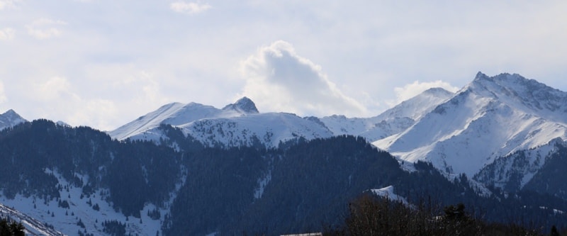
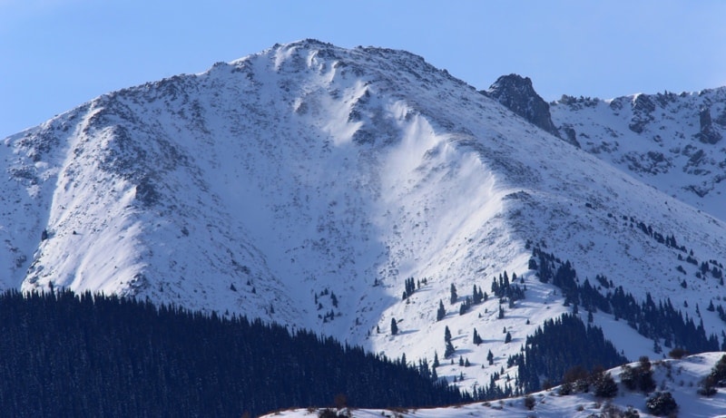
Near the city of Almaty, Zailiysky Alatau is a powerful snow ridge with glaciers and high peaks. The northern slope of Zailiysky Alatau is divided by many gorges with deep and steep valleys. The southern slope is very steep, shorter and less divided into gorges.
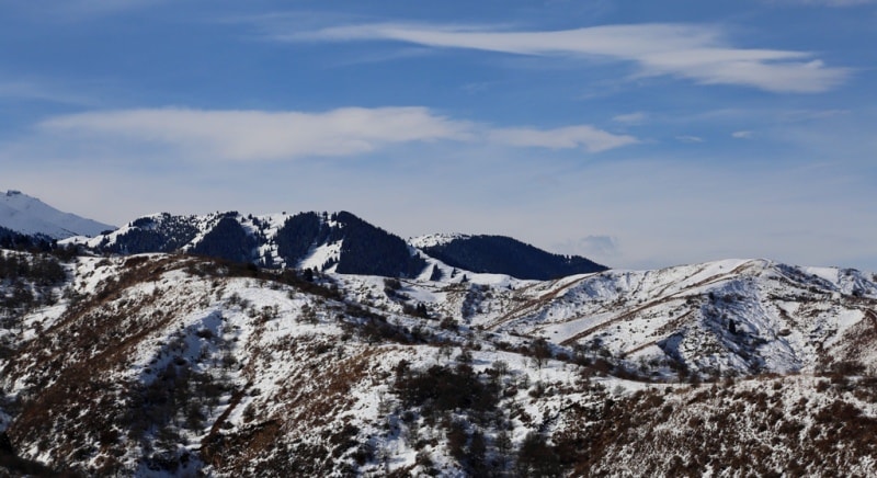
Lateral spurs in the form of "mountain counters" depart from the main ridge on the northern slope, the smaller ridge - Talgar, Maloalmatinsky and Kumbel. In the highlands of Zailiysky Alatau at an altitude of 2600 - 3000 meters above sea level, flat tops of the surface are widespread - syrts occupied by high-mountain meadows.
These are the famous summer pastures of Jailau. The upper part of the mountains is a mountain glacial sharp peaks landscape of rocks, screes and glaciers. The foothills of the Zailiysky Alatau, called “mountain counters”, occupy a belt from 1000 to 1700 meters above sea level.
They are composed of a thick thickness of loesslike loams, have relatively flat peaks, and the slopes are rather steep. The strip of "mountain counters" is most developed in the area of the cities of Talgar and Almaty and has a width of up to 10 - 15 kilometers.
To the west and east of these places the strip of "mountain counters" decreases to 1-10 kilometers wide, and in places it completely disappears. Behind the "mountain counters" begins the main ridge of the Zailiysky Alatau, which is characterized by steeper slopes, cliffs, screes and frequent outcrops of rocks, mainly granites.
The geological structure of the ridge is quite colorful and complex. At the base of Zailiysky Alatau, powerful deluvial and alluvial deposits of river cones and mudflows formed, representing a plain slightly inclined to the north, on which villages, cities and the beautiful Almaty are located.
The Zailiysky Alatau ridge arose in the last 12 million years, but the mountains have been rising most intensively during the last million years in the anthropogenic period. The relief of the mountains was also formed in the last 10,000 - 12,000 years under the influence of earthquakes, rockfalls, mudflows and changes in river beds.
In recent centuries, a significant part of the mountains was covered with terraces and gardens, roads and settlements were built. An anthropogenic cultural landscape has appeared. Scientists say that the process of mountain building on the Zailiysky Alatau ridge continues to this day.
The ridge rises annually by an average of 5 mm per year, which contributes to earthquakes, rockfalls and a change in the terrain. Zailiysky Alatau in the distant past was a relatively flat plain. All past mountain systems, formed as a result of Herzian folding for hundreds of millions of years, have been aligned.
In the Pliocene, the rise of the Zailiysky Alatau ridge begins. For 13-14 million years the mountains reached an altitude of about 2,500 meters. Along with the raising of the ridge, the foothills and intermountain valleys in the east of the ridge gradually decreased.
After a period of relative calm in tectonic activity in the middle anthropogenic era (about 600,000 years ago), tectonic movements increase sharply, and the mountains reach a height close to modern - 4,700 meters above sea level.
The formation of the relief of Zailiysky Alatau with huge cones of rock outflow in the foothills and moraine deposits and in the upper zone was significantly affected by glaciation.
The main parts of the Zailiysky Alatau ridge.
Western Zailiysky Alatau, the length of 150 kilometers from west to east, is located at an altitude of 2049 to 4612 meters above sea level.
Eastern Zailiysky Alatau, the length of 150 kilometers from west to northeast and east, is located at an altitude of 2701 to 4978 meters above sea level.
Authority:
The guidebook across Kazakhstan . Authors Dagmar Schreiber and Jeremy Tredinnick. Publishing house "Odyssey".2010.
Alexander Petrov
photos.