You are here
Sary-Moinok Pass
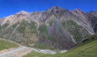
Passes in Terskey Ala-Too Range.
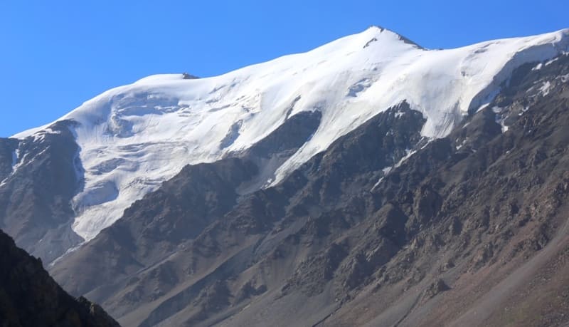
“I assumed its height, based on the eternal snows only in the hollows, to be about 12,000 feet above sea level, but according to the subsequent barometric measurement by A. V. Kaulbars in 1869, calculated by Yu. I. Shtubendorf, the Barskaun Pass is almost 1,000 feet higher than I assumed, namely reaching 12,700 feet, and the peaks rise another 3,000 feet higher (by eye), between which the pass itself is a saddle.”
“Travel through the Turkestan Region and Exploration of the Tien Shan Mountain Country.” N. A. Severtsov. 1873.
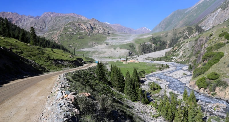
Trip from Barskoon Gorge to Sary-Moinok Pass.
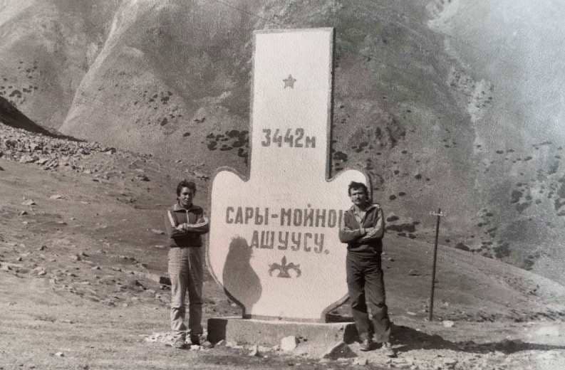
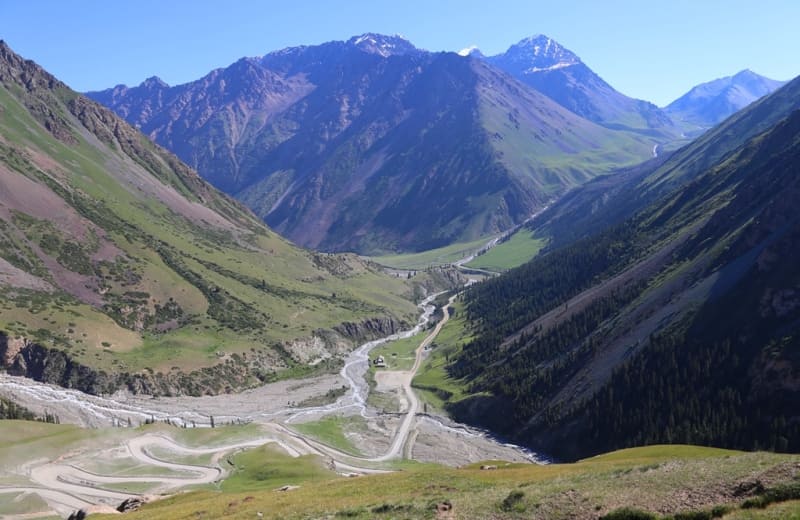
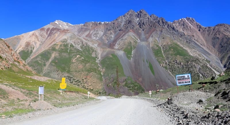
Sary-Moynok Pass, 3,442 meters above sea level, is located in Barskoon Gorge in a spur that is located between Barskoon and Keregetash Rivers, on northern slope of Terskey Ala-Too Range, in Jety-Oguz District of Issyk-Kul Region.
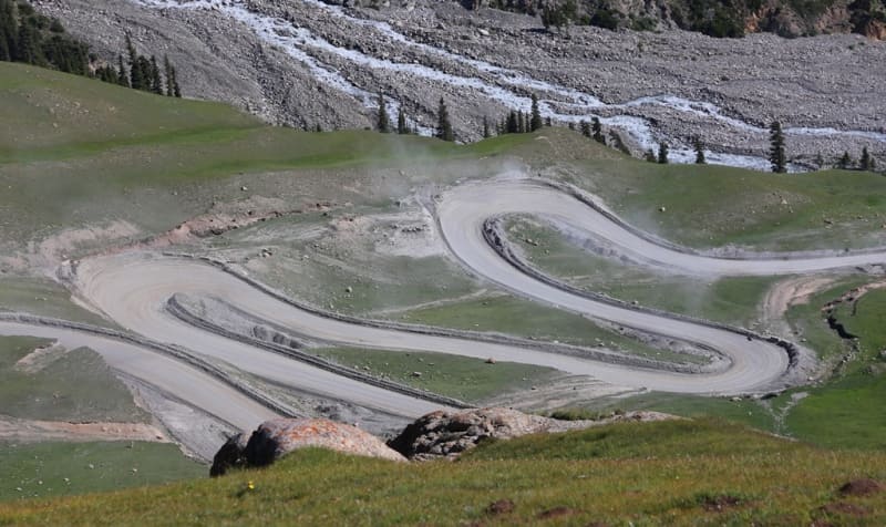
The Sary-Moynok Pass is the first in a series of passes that leads to the Naryn River Valley. The difference in altitude from the beginning of the climb to the pass itself is 640 meters. From the northern side, 14 serpentine roads lead to the pass.
It was almost impossible to build a road along the Barskoon River, since from the mouth of the Keregetash River the river is in a deep, inaccessible canyon. The builders chose the right solution to build a road along the spur, which is located between two rivers.
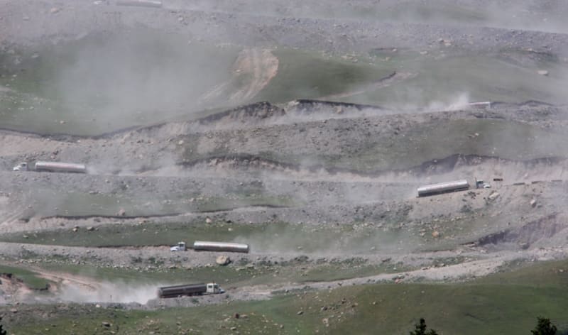
A 15-kilometer-long spur starts from the mouth of the Keregetash River and extends to the main ridge of the Terskey Ala-Too Range, ending at the western end of the Barskoon Pass, 3,754 meters above sea level. A road passes through the pass connecting the southern shore of Lake Issyk-Kul with the Kumtor mine, which is located in the western part of the Ak-Shyirak Range, the Karasai border outpost, the sources of the Naryn River, the remote and high-mountain village of Uch-Koskhon located at an altitude of 3,134 meters above sea level, the Ashusu Pass at an altitude of 3,840 meters above sea level, through which the road continues to the valleys of the Uzengegush and Aksai Rivers in the Naryn Region.
Geographical coordinates of Sary-Moynok Pass: N41 ° 54'57 E77 ° 37'56
Authority and photos by:
Alexander Petrov.


