You are here
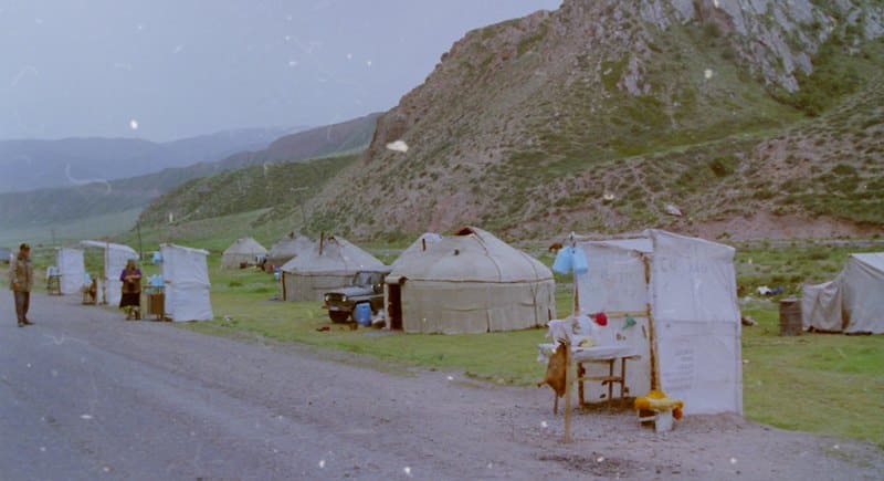
Dolon Pass.
Mountain passes in Naryn region.
“The flat summit of Dolon-bel was completely snowless on October 25, and in the upper parts of the hollows, here and there in the spruce forests, only insignificant remnants of snow that had fallen on the 13th-15th remained: meanwhile, the height of the pass, according to Reinthal’s barometric data, reaches 9,800 feet; the exit of Ottuk from the mountains is 7,300 feet. According to its moderate speed of flow in the gorge (taking into account the low water), one can assume that the fall of the river from the ascent from the valley to Dolon-bel to the end of the gorge for 25 versts is about 1,000 feet, which will give 8,300 feet for the beginning of the ascent from the valley to the pass, and 300 feet per mile of this ascent. The descent to Bolshoy Karakhodzhur is even more gradual: its level at the mouth of Tyulyuk, according to the same data, is 7,400 feet, and these 2,400 feet are distributed over 12 miles; the road goes along the Sary-bulak stream, on gentle ridges, and comes out at its mouth onto Karakhodzhur four miles above the mouth of Tyulyuk."
"Travel through Turkestan region and exploration of the mountainous country of Tien-Shan." N. A. Severtsov. 1873.
Journey from Kochkor to Naryn.
Dolon Pass, 3038,4 meters above sea level, is located at junction of Kara-Dzhorga ridge and Aktash mountains with Baidula ridge, in Naryn and Kochkor districts of Naryn region. The Dolon Pass is a watershed between the ridges of the Kochkor and Naryn basins in Kyrgyzstan.
From the pass to the north flows the sources of the Sary-Bulak River, which belongs to the Chu River basin, to the southeast flows from the pass one of the right unnamed tributaries of the Kichin-Kara-Kudzhur River, which belongs to the Naryn River basin.
The relative heights of the nearby mountain peaks are 200 - 300 meters. The slope facing the north to the Sary-Bulak valley is gentle, and to the Kichin-Kara-Kudzhur valley it is steep. The Bishkek - Naryn - Torugart highway is laid through the pass.
The name of the Dolon Pass has several well-known toponyms. According to one legend, the Kyrgyz judge Dolon-biy during a long journey decided to make a stop at the pass, eat and spend time relaxing in the shade of the trees, on a green lawn.
After this incident, the place where Dolon biy rested was given the name: "Where Dolon biy rested." The Mongolian word "dolo", that is, the number "7" also has its own history of the toponym for the Dolon Pass. In ancient times, the pass had seven steep serpentines that Mongolian warriors overcame.
In the dictionary of folk geographical terms, E.M. Murzaev translates the word Dolon as "mountain pass" from the Tajik language. From Persian "dalan", also a pass. It can be correlated with the Mongolian "dalyn", as "scruff of the neck", "back of the head".
During the construction of the road from the village of Kochkor to the town of Naryn through the Dolon Pass, filmmakers from the Mosfilm studio shot the film "I am Tien-Shan". The film "I am Tien-Shan" is a Soviet feature, full-length color film, directed by Irina Poplavskaya in 1972, based on the story by Chingiz Aitmatov "My Poplar in a Red Scarf".
The film tells the story of the tragic love of a young driver working on a large highway between the Issyk-Kul and Tien-Shan (now Naryn) regions of Kyrgyzstan. The main events take place on the Dolon Pass between the Naryn and Kochkor districts and in the city of Rybachye (now Balykchy).
The driver Ilyas falls in love with Asel. They have a child, but after an incident at work, Ilyas starts drinking. He has an affair with Kadicha. His wife leaves him. Later, Ilyas decides to return to his wife and son. The following took part in the construction of the road through the Dolon Pass: the road construction department of the Kochkor trust "Sevdortransstroy" of the Gosstroy of the Kirghiz SSR, the road construction department of the Naryn trust "Sevdortransstroy" of the Gosstroy of the Kirghiz SSR.
Both enterprises were created in 1979 on the basis of the Kochkor and Naryn machine and road stations of the Ministry of Motor Transport and Highways of the Kirghiz SSR.
Geographical coordinates of Dolon Pass: N41°50'24 E75°44'29
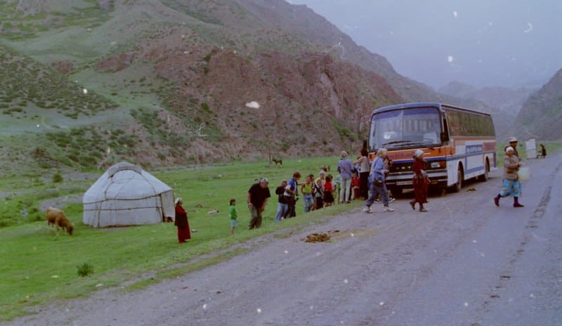
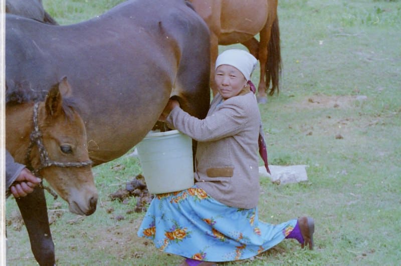
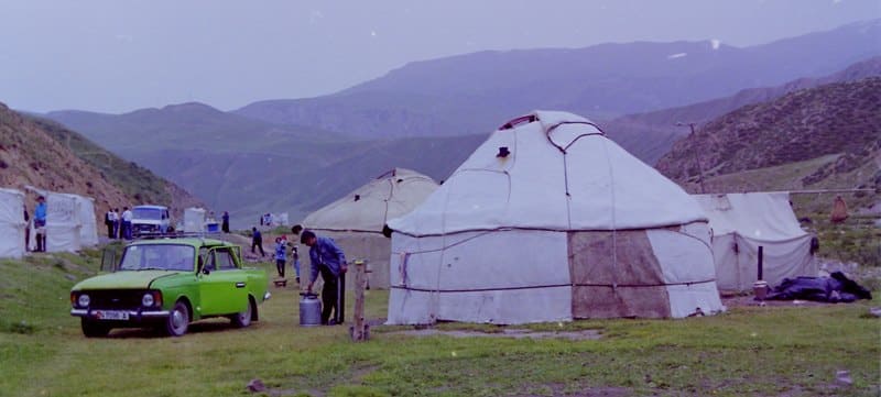

Authority and photos by:
Alexander Petrov.


