You are here
Pass San-Tash.
Group inclusive tour from Bishkek to Almaty.
"The Sentaz Mountains, where the four Chinese guards are located, have their name for two different reasons: the traders call them Syn-taz, which in Russian means a breakthrough through the mountains; this name seems fairer than the other: for here the last chain of the Alatau mountains really ends, and beyond that there are already flat places. But following the Kirghiz fable, they take on the event in the word Sentaz. Sentaz in Russian translation is a million stones. This name, as the Kirghiz assure, came from the fact that the former ruler of Asia, Genghis Khan, intending to conquer the current border cities of China, wanted to count his army in this place and, since the Mohammedan law forbids counting it, Genghis Khan ordered each horseman to take a stone and throw it into one pile, where a whole million of those stones were counted. After spending the night in the Sentazha Mountains, about halfway through the next day, we appeared at the Chinese guard posts called Merke, Charyn, Karkory and Kordzhar, but not wanting to be noticed by them, I tried to have as much of a secret direction from them as possible, contenting myself with one superficial reconnaissance glance, on which I make my conclusion about them. "
August, 1825. Military doctor (doctor) of the Omsk garrison regiment Zibberstein Faddey Karlovich.
Cultural walking excursion on Issyk-Kul lake.
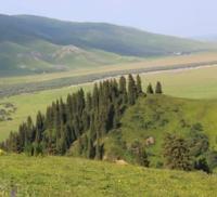
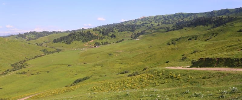
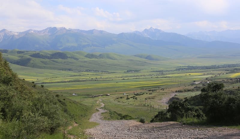
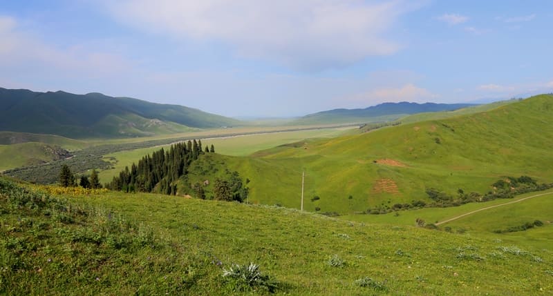
San-Tash Pass is called Kyzyl-Kiya pass, located at an altitude of 2166 meters above sea level, is located in Tasma ridge, which is a watershed between Tyup and Dzhergalan valleys, 21 kilometers northeast of village of Novovoznesenovka, in Aksuysky district in east of Issyk-Kul region.
The pass is located northwest of the Kylchykbay Mountains, which are the northern end of the Terskey Alla-Too Range between the Jargalan and Tyup Rivers. In winter, travel through the San-Tash Pass is difficult due to heavy snow. Strong easterly winds originate here, which are called "San-Tash" after the pass, through which the wind bursts into the lake basin.
The west wind "Ulan" blows through the Boom Gorge from the Chu River valley. Both winds arise when cold air accumulates behind the mountains that enclose the lake basin. They cause a storm over Lake Issyk-Kul, but their influence usually extends only twenty to thirty kilometers from the shore.
The A-364 country road passes through the Sat-Tash Pass, which is the shortest route from the Kek-Kiya (Basharino) farm to town of Karakol. The distance by road from the Kek-Kym farm (Basharino) located on the left bank of the Tyup River through the San-Tash Pass to the village of Novovoznesenovka is 24 kilometers, to town of Karakol - 56 kilometers.
The distance from the Kek-Kiya farm by road through the village of Tyup to Karakol is 79 kilometers. The route through the San-Tash Pass has been known since the XVIIIth century.
History of San-Tash Pass.
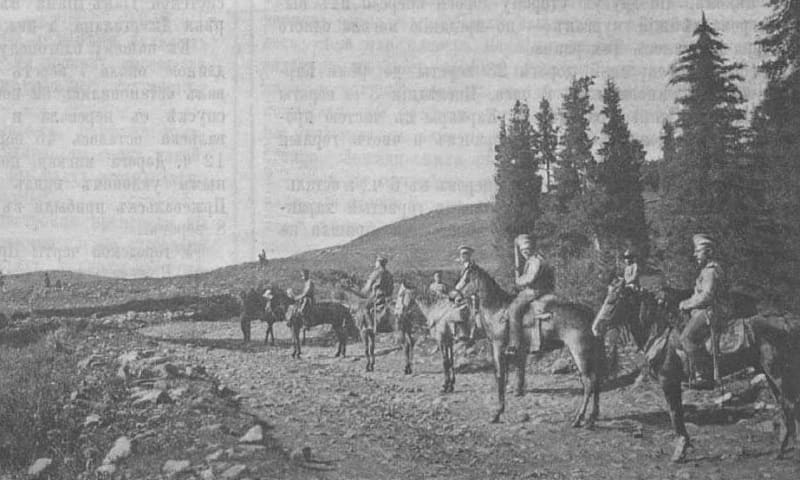
August, 1825 - a small detachment of Russian troops passes through the pass, which included a military doctor (doctor) of the Omsk garrison regiment Zibberstein Faddey Karlovich (1797 - 1938). In 1825, he headed the Russian military-diplomatic mission to the Tien-Shan to Lake Issyk-Kul, to the Kyrgyz Bugu tribe. Upon returning to Omsk, he presented the West Siberian authorities with a diary report, “Travel Notes,” a valuable source on the history of Russian-Kyrgyz relations in the first quarter of the XIXth century.
From the diary of F.K. Zibberstein, October 12, 1825:
“...Having finished surveying Lake Issyk-Kul, I returned back to the auls of the biy Epalak, where, having agreed with him, accompanied by many honorable biys and Kyrgyz, we went to the auls of the biy Ulzhebai, where it was necessary to hold a public meeting to carry out a certain assignment, to which end all the children of the biy Shiraly with their uncles and other biys, except for Yaik-Aman, were invited by ensign Nyuhalov.
At that meeting, with due importance, letters were handed over and the very circumstances for which the detachment was sent to them were announced. All our proposals were accepted by the elders with signs of good will in their favor, which is why one could expect consent at that time; but the circumstance, which will be indicated below, stopping them on the path of desire, diverted them this time from determination.
Finally, the prudent suggestion of the ensign Nyukhalov about the strong protection that they would acquire from the power of Russian patronage, the biys Ulzhebay and Epalak were the first to reject any idea of Kokhania and, by the example of their good competition for the glory of the Russian state, they carried away with them all the other founders, who, in fulfillment of our demands, gave subscriptions and letters of gratitude to the Governor-General of Western Siberia... ".
1856 - 1857 - expedition of P.P. Semenov-Tyan-Shansky passed through San-Tash Pass.
On September 24, 1867, Nikolai Severtsov traveled through the San-Tash Pass; he calls the pass through the Tasma Mountains Kyzyl-Kiya: "Having crossed the shallow Tyup, I began to climb the Kyzyl-Kiya ridge, which is truly red (kyzyl in Kyrgyz means red); It consists of clayey sandstone, not too hard, but not loose, densely colored with aqueous iron oxide.
This sandstone is easily washed away by rain and snow water, and therefore is dug up by ravines, along which spruce trees are scattered, solitary and in small groups, but not forming a continuous forest. Here and there there are grassy areas, but more bare stone, the valley of the Tyup is narrow and wooded.
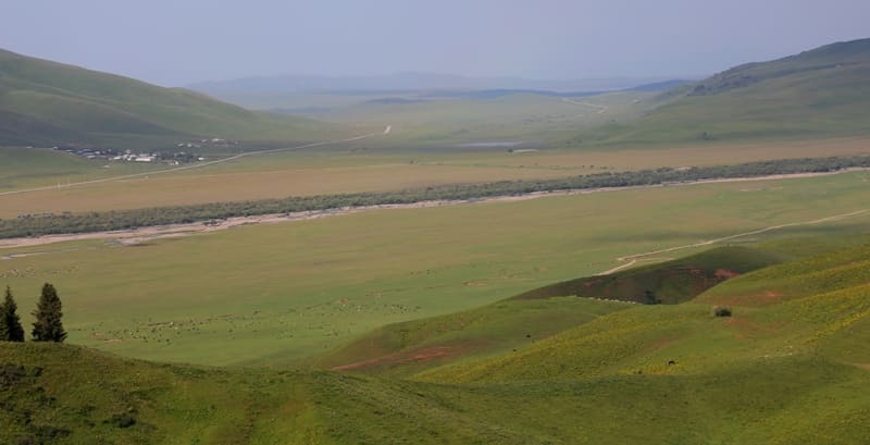
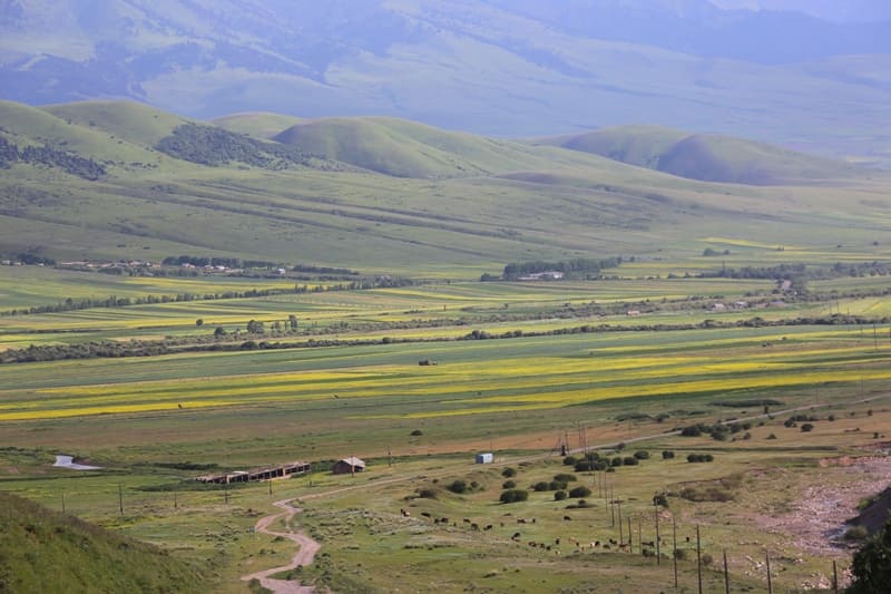
The ascent to Kyzyl-kiya is not steep; the descent to the river Dzhirgalan is also quite gentle, which flows along a completely steppe plain, three or four miles from the foot of the Kyzyl-kiya. The course of the Dzhirgalan along the steppe is marked by a long row of deciduous trees, mainly black poplars, and partly birches; there are even rarely scattered spruce trees, grown from cones carried away by the river from mountain spruce forests and thrown onto the shore.
The view from the Kyzyl-kiya Pass to the main Tianynan Range beyond Dzhir-galan should be magnificent on a clear day, but I saw only the lower spruce forests on the Tien Shan slopes; higher up the range was covered with grey clouds promising rain; the sky above was still blue, but the sun was already shining dimly through the mesh of cirrus clouds."
Summer, 1926 - Alexander Mikhailovich Briskin, a writer and journalist for the editorial board of "Sovkhoznaya Gazeta", passed through the pass. This is how he describes his journey through the San-Tash Pass: "The road to Karkara passed through the magnificent mountain pass Santash (million stones).
The rain washed away the road, and we, leaving the Dzhirgalan Gorge to the right of us, slowly dragged ourselves up the mountain, rattling over the stones and falling into holes. After an hour of difficult climbing, we found ourselves at the top of the pass and flew.
The road is wild and beautiful, but all broken up, potholed and littered with stones. All around, mountains rose up, covered with spruce forests, bright and fresh from the rain, like spring. Suddenly, the sun shone through the torn clouds, and three rainbows shone in giant stripes.
Far below, Lizogubovka was visible as a green spot; herds crawled along the hills like flies. Two colossal piles of stones remained on the side. It was they that gave the name to the entire pass. Legend has it that the great Tamerlane once passed through here with his troops.
Wanting to count his army, the king ordered each warrior to throw one stone into the pile: a huge mountain was formed from these stones. When the Iron Lame Man returned along the same road, having defeated his enemies, he ordered his warriors to throw another stone next to the first mountain, and then a second, many times smaller mountain was formed.
Geographic coordinates of San-Tash pass (Kyzyl-Kiya): N42°43'16 E78°55'29
Authority and photos by:
Alexander Petrov.


