


![]()
You are here
Ugam mountain range.


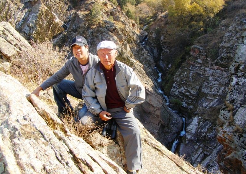
Trekking in mountain ridges of Talasskiy Ala-Tau.
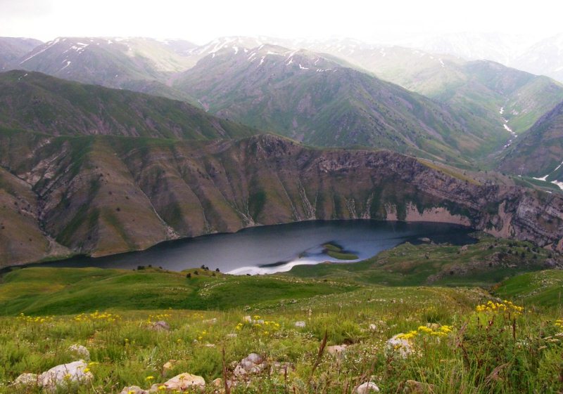
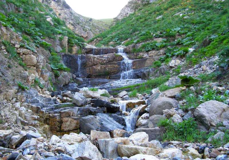
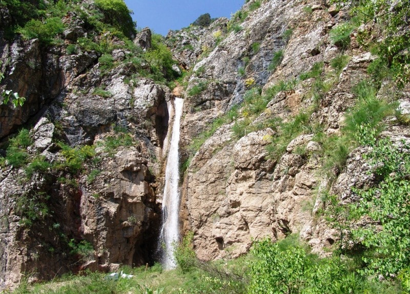
“Surrounded by birch and juniper forests, and with mountain streams gushing through deeply cut rock, this is a beautiful location, and is a good starting point for walks in the delightful Ugam Valley, to a chain of mountain lakes and the foot of 4,454-metre-high Mount Sayram”
Ascensions in mountains of the Ugam ridge.
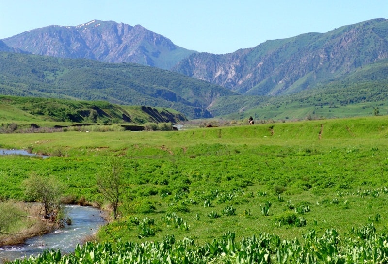
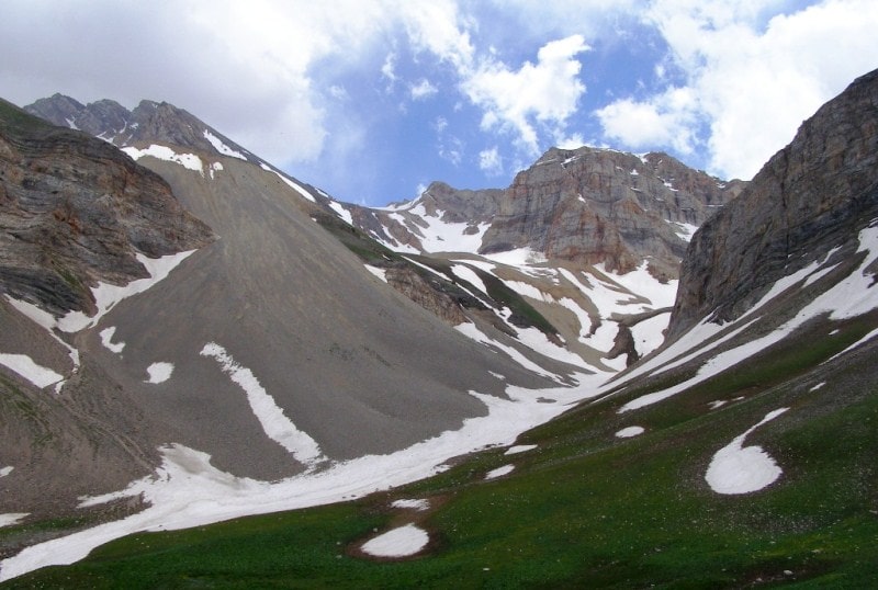
Ugam mountain range is located in the mountain system of the Western Tien Shan. The axial line of the Ugam ridge is located on the borders of the Republic of Kazakhstan and the Republic of Uzbekistan. The Ugam ridge departs from the Talas Alatau in the area of the Maidantal Pass and is a watershed ridge between the Arys and Pskem basins in the north-eastern part and between Pskem and Ugam in the south-western part.
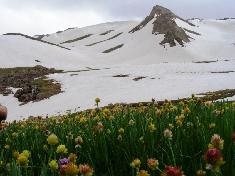
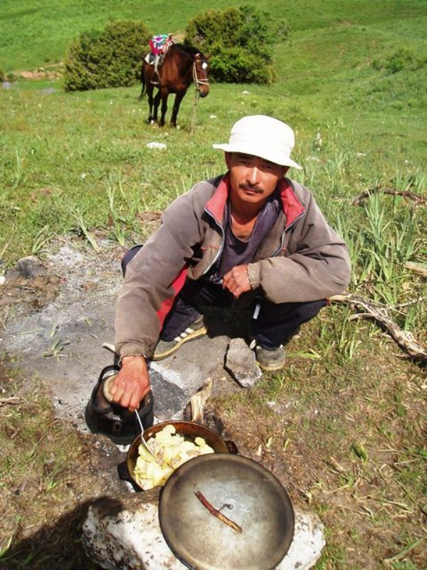
Just 50 kilometres from Sayram is the idyllic campsite of Sayram-Su in the Ugamsk Canyon. Surrounded by birch and juniper forests, and with mountain streams gushing through deeply cut rock, this is a beautiful location, and is a good starting point for walks in the delightful Ugam Valley, to a chain of mountain lakes and the foot of 4,454-metre-high Mount Sayram.
Mountaineering equipment is required to climb to its summit, and those of its neighbours Druzhba (4,100 metres) and Kyzyl Bash ("Red Head", 4,200 metres). This region is still by and large virgin land, but the Shymkent administration plans to build two chairlifts - one each in the valleys of Sayram-Su and Kaska-Su.
Developing the area into a winter sports resort is expected to be profitable. The length of the Ugam range is about 100 kilometers. The Ugam ridge is mainly composed of sedimentary rocks (including limestones in which karst is developed) and granitoid intrusions.
On the slopes, ephemeroid (subtropical) semi-desert and steppe vegetation, deciduous forests in the valleys, in the highlands of the meadow-steppe and alpine meadows. The highest point of Sairam peak is located at an altitude of 4236.1 meters above sea level, according to other sources - 4299 meters above sea level.
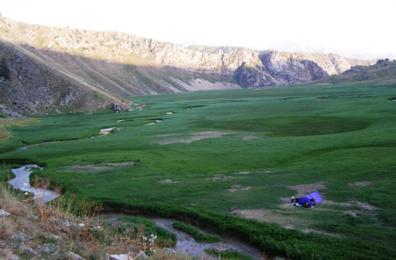
The Ugam and Nauvalysay rivers flow from the Ugam range.
The Ugamian ridge from the Talas Alatau to the headwaters of Korumtor breaks off rather steeply towards the Maidantal, is weakly divided and passes only in one place, which we have already mentioned. To the south-west of the sources of Tepar, the Ugamsky ridge formed a huge plateau with a highest point of 3385 meters above sea level within which the Kharamzade and Nauvali (tributaries of the Pskem) and the left tributary of the Ugam river originate.
In the vicinity of the Korumtor Pass, the mountains of Baldabrek branch off from the Ugam range. They separate the basins of Aksu and Baldabrek, and one of the spurs serves as a watershed between Baldabrek and the tributary Balabaldabrek, which lies just north of it.
The sources of Balabaldabrek are located in two gorges parallel to each other and separated by a spur of the peak of Baldabrek 3694 meters high above sea level. Both gorges end with glacial circuses, of which the right, where the Burevestnik-II pass is located.
Just 50 kilomtres from Sayram is the idyllic campsite of Sayramsu in the Ugamskiy Canyon. Mountaineering equipment is required to climb to its summit, and those of its neighbours Druzhba (4100 metres) and Kyzyl Bash ("Red Head", 4200 meters above sea level.
This region is still by and large virgin land, but the Shymkent administration plans to build two chairlifts - each in the valleys of Sayramsu and Kaska Su. Developing the area into a winter sports resort is expected to be profitable.
Sayram lies at the foot of Mount Psemskiy range, and can be used as a good base for tours in the surrounding area. The Aksu Canyon is only 30 minutes away, and three kilometres outside the town the Martobe monuments can be visited, consisting of barrows and the ruins of a XII Century town.
Sayram lies at the foot of Mount Pskemskiy range, and can be used as a good base for tours in the surrounding area. Surrounded by birch and juniper forests, and with mountain streams gushing through deeply cut rock, this is a beautiful location, and is a good starting point for walks in the delightful Ugam Valley.
Mountaineering equipment is required to climb to its summit, and those of its neighbours Druzhba 4100 meters above sea level and Kyzyl Bash "Red Head", 4200 meters above sea level. This region is still by and large virgin land, but the Shymkent administration plans to build two chairlifts one each in the valleys of Sayramsu and Kashka Su.
Developing the area into a winter sports resort is expected to be profitable.

Authority:
The guidebook across Kazakhstan . Authors Dagmar Schreiber and Jeremy Tredinnick. Publishing house "Odyssey".2010.
Photos
Alikhan Abdeshev.