


![]()
You are here
Ayagoz city.


Tours to Tajikistan from Astana.
“It was so pitiful and insignificant, as I have never seen any Russian city… The city itself consisted of one wide street with such low adobe houses that you had to bend down to talk to the residents standing near these houses… There were no shops in the city at all. The shop - the only one, which existed for a short time, closed because, as the ruined shopkeeper assured, no one paid money for goods, and everyone demanded to sell them for free. On the other side of the river there were rocky hills, on which wolves howled in the evenings and you could even see their eyes sparkling in the dark.”
P.P. Semenov-Tyan-Shansky. "Journey to Tien-Shan". 1856 - 1857.
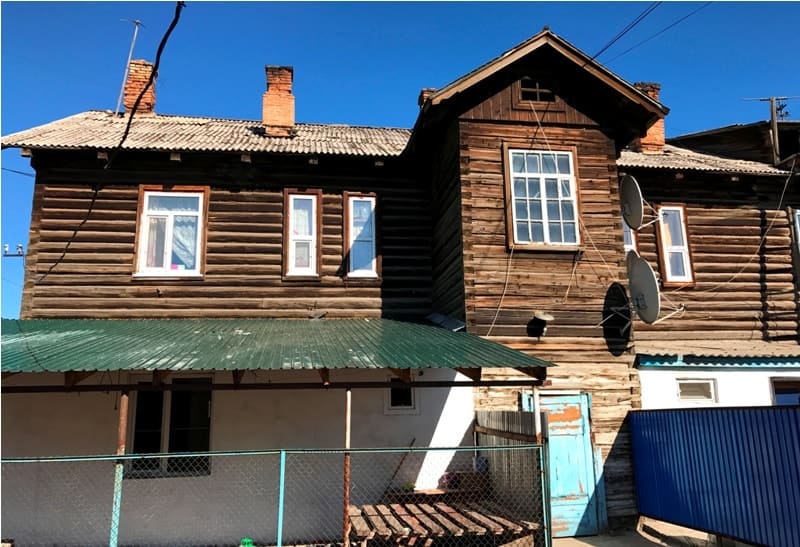
"Of all the villages of the Kirghiz steppe, Ayaguz seems to be the most nondescript in appearance, however, they say Kokpekty is no better. A small fortress, a suburb, with several wooden houses, a mosque in a Tatar settlement, and dugouts."
April 20, 1856. Chokan Valikhanov.
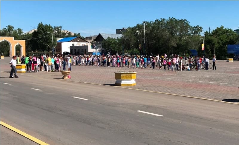
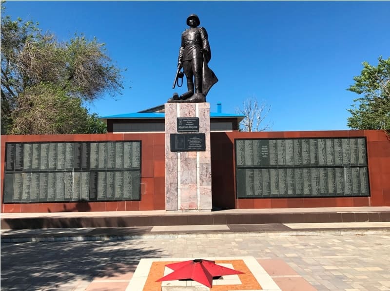
Sightseeing tour of Ayagoz.
Ayaguz (Kazakh: Аягөз, since 1992 the official name Ayagoz) is located at an altitude of 663 m. a. s. l., a city of regional subordination in Kazakhstan, administrative center of Ayaguz, is located on right and left banks of river of same name in East Kazakhstan region.
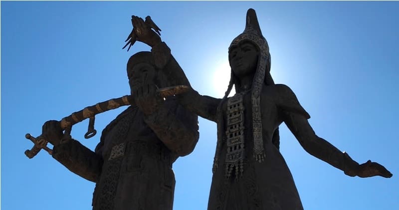
The first mentions date back to the XVIth - XVIIth centuries, it is believed that the "Kazakh Romeo and Juliet" - "Kozy-Korpesh and Bayan-Sulu" lived in this region. The city of Ayaguz is located in the extreme southeast of the Saryarka steppe and in the southern part of the East Kazakhstan region.
The city is located in a semi-desert natural zone on both banks of the Ayaguz River flowing through the city. The difference in altitude in the city is small, the highest point is on the edge of the city, and the lowest point is the water's edge of the Ayaguz River under the railway bridge.
The city's orography is varied: from the north, the city is located in a slight depression in the relief. From the south, the city is surrounded by hills, and to enter the city, you need to go along winding roads passing between the hills. If you approach from the east, the city seems lower, because it is from the east that the Ayaguz River enters.
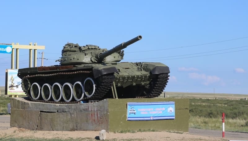
The lowest terrain is the west, from where, accordingly, the river flows, in the west begins a mountainous terrain that is rare here, here the mountains are higher than the hills usual for the surrounding area. It has strategic importance, several military garrisons are stationed in the city.
It is a major transport hub of the republic. A major junction of the Turkestan-Siberian highway, a fork in the highways of national importance: Almaty - Ust-Kamenogorsk, Karaganda - Ayaguz - Bogaz. Above the city is the intersection of several international air routes.
Thousands of cars pass through the city every day. The city is connected by bus service with other regions of Kazakhstan (Pavlodar, Almaty) and the cities of Almaty, Ust-Ust-Kamenogorsk, Semey, Pavlodar, as well as villages and districts of the East Kazakhstan region.
The population is over 38,536 (2024) people. The climate of the region is sharply continental, which is associated with the greatest distance on the continent from the oceans and causes large amplitudes in the annual and daily temperature. As of October 1, 2010, 38,155 people lived in the territory of the city administration. 93.02% of them are Kazakhs, 4.68% are Russians, 1.06% are Tatars, 0.35% are Uighurs, 0.18% are Germans, other nationalities 0.71%.
On May 28, 2004, one of 760 children was born in the Ayaguz maternity hospital, each of whom is equally likely to be the 15 millionth resident of Kazakhstan. The territory of the district is open to the Arctic basin, but isolated from the influence of the Indian Ocean by the mountain systems of Asia.
The local hydrometeorological station monitors the weather in Ayaguz. The average annual temperature is 3.5 °C. There are large fluctuations in annual temperature extremes: in winter it can reach -45 °C, and in summer +40 °C. The average temperature in January is -17°, -19 °C, in July +20°, -22 °C.
The average annual relative humidity is 66%. The annual amount of precipitation is 250 - 400 mm. Snow falls in late October - early November and lies until April. The average annual wind speed is 2.4 m/s. Ayaguz is a rather windy city. In winter, this wind, even in minor twenty-degree frosts, significantly increases the severity of the climate.
At temperatures of -30° and below, a storm warning is announced, and classes in schools are canceled. The absolute minimum is -51 °C, the absolute maximum is +42 °C. The city is located at a fork in the road of national significance: City transport is represented by buses, there are only 14 route buses in the city.
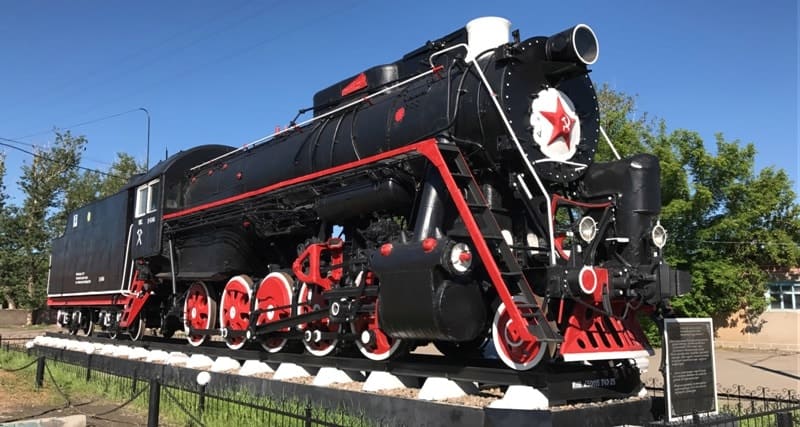
They travel around the entire city from one outskirts to another. All of them are subordinate to TOO "Bus Park". The city has a large railway station at the junction of the Turksib highway. There are 2 large locomotive depots in the city, where locomotives are repaired, railway enterprises: "Ayaguz-Temirzhol Zholy", "Ayaguz-Temirzhol Su", "Zholbarys", VCh - 24 and others.
There is a railway connection in the following directions: Semey - Kyzylorda, Almaty - Zashchita, Almaty - Ust-Kamenogorsk (via the Shar - Ust-Kamenogorsk branch), Semey - Karaganda (via Aktogay station), Almaty - Pavlodar, Novosibirsk - Almaty, Novokuznetsk - Bishkek, Tashkent - Novosibirsk.
Near the city of Ayaguz in the East Kazakhstan region there is a support navigation point of the republican state enterprise "Kazaeronavigatsia". Now that its reconstruction has been completed, the most modern means of radar surveillance, navigation and communication operate here, at the intersection of several international air routes.
There are 72 air corridors in Kazakhstan, and only one, the Chinese one, provides a quarter of the income of domestic navigators: the entire air transit "Europe - Southeast Asia" goes along this route. The new building of the navigation point "Ayaguz" is equipped with the most modern radar, allowing "to look" around for 400 kilometers.
Incidentally, Chinese air navigation services do not have such equipment in their areas. A high-frequency radio beacon is installed near the building of the point, satisfying the needs of domestic and foreign airlines. An entire air communication complex with the latest digital telecommunications node has been created, which transmits information between aircraft crews and control centers in Astana, Almaty and Semey.
In addition, an antenna is installed on a specially built 80-meter-high tower, providing high-quality radio communication to the state border and beyond.In the event of a power failure, two diesel generators will be turned on. The airport is located on the outskirts of the city: Ayaguz Airfield, class 2, can receive Tu-134, Tu-154, An-12, Yak-42 and lighter aircraft (as well as helicopters of all types).
Geographic coordinates of city of Ayagoz: N47°57'52 E80°25'49

Authority:
Ya. Basin. Various sources
Photos by:
Alexander Petrov.